How to get to George's Pizza House by bus?
Click on the bus route to see step by step directions with maps, line arrival times and updated time schedules.
How to get to George's Pizza House by train?
Click on the train route to see step by step directions with maps, line arrival times and updated time schedules.
Bus stops near George's Pizza House in Lowell
Bus lines to George's Pizza House in Lowell
What are the closest stations to George's Pizza House?
The closest stations to George's Pizza House are:
- School St & Lawson St is 338 yards away, 5 min walk.
- Branch St & Branch Pl is 374 yards away, 5 min walk.
- Broadway St & Walker St is 420 yards away, 5 min walk.
- Market Basket Senior Center is 597 yards away, 8 min walk.
Which bus lines stop near George's Pizza House?
These bus lines stop near George's Pizza House: 6, 9.
Which train line stops near George's Pizza House?
LOWELL (#331 | Lowell)
What’s the nearest bus station to George's Pizza House in Lowell?
The nearest bus stations to George's Pizza House in Lowell are School St & Lawson St, Branch St & Branch Pl and Broadway St & Walker St. The closest one is a 5 min walk away.
What time is the first bus to George's Pizza House in Lowell?
The 6 is the first bus that goes to George's Pizza House in Lowell. It stops nearby at 6:07 AM.
What time is the last bus to George's Pizza House in Lowell?
The 17 is the last bus that goes to George's Pizza House in Lowell. It stops nearby at 7:53 PM.
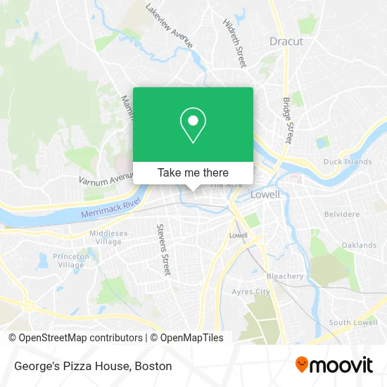
See George's Pizza House, Lowell, on the map
Public Transit to George's Pizza House in Lowell
Wondering how to get to George's Pizza House in Lowell? Moovit helps you find the best way to get to George's Pizza House with step-by-step directions from the nearest public transit station.
Moovit provides free maps and live directions to help you navigate through your city. View schedules, routes, timetables, and find out how long does it take to get to George's Pizza House in real time.
Looking for the nearest stop or station to George's Pizza House? Check out this list of stops closest to your destination: School St & Lawson St; Branch St & Branch Pl; Broadway St & Walker St; Market Basket Senior Center.
Bus: 6, 9, 4, 17.Train: LOWELL.
Want to see if there’s another route that gets you there at an earlier time? Moovit helps you find alternative routes or times. Get directions from and directions to George's Pizza House easily from the Moovit App or Website.
We make riding to George's Pizza House easy, which is why over 1.7 million users, including users in Lowell, trust Moovit as the best app for public transit. You don’t need to download an individual bus app or train app, Moovit is your all-in-one transit app that helps you find the best bus time or train time available.
For information on prices of bus and train, costs and ride fares to George's Pizza House, please check the Moovit app.
Use the app to navigate to popular places including to the airport, hospital, stadium, grocery store, mall, coffee shop, school, college, and university.
George's Pizza House Address: 281 School St street in Lowell
- 4 M's Variety,
- Stoklosa Middle School,
- T-Mobile,
- Kathryn P. Stoklosa Middle School,
- E B Homes Residential & Commercial Roofing Specialists,
- Carmen Rivera,
- Hondros Jewelers,
- Santa Grocery & Restaurant Llc,
- Brothers Automobile Sales,
- Benoit Auto Service,
- Gateway Community Support Services,
- Central Car Corporation,
- Adams Locksmith Company,
- Vibes Hair Salon And Beauty Supply,
- Bebo Barbershop MA,
- Francis Gate Park,
- Greater Boston,
- Champion Drywall,
- Picard Construction Corporation,
- Vapor Wash 91
Places Near George's Pizza House (Lowell)
- North End, Boston,
- House Of Blues, Boston,
- Seaport District, Boston,
- Prudential Center, Boston,
- Castle Island, Boston,
- Td Garden, Boston,
- Massachusetts General Hospital, Boston,
- Cheers, Boston,
- Museum Of Science, Boston,
- Boston Medical Center, Boston,
- Wilbur Theatre, Boston,
- Isabella Stewart Gardner Museum, Boston,
- Leader Bank Pavilion (Leader Bank Pavillion), Boston,
- Boston Common, Boston,
- Boston Children's Hospital, Boston,
- Mgm Music Hall, Boston,
- Faneuil Hall, Boston,
- Wang Theater, Boston,
- Boston Convention & Exhibition Center, Boston,
- Quincy Market, Boston
How to get to popular places in Boston with public transit
Get around Lowell by public transit!
Traveling around Lowell has never been so easy. See step by step directions as you travel to any attraction, street or major public transit station. View bus and train schedules, arrival times, service alerts and detailed routes on a map, so you know exactly how to get to anywhere in Lowell.
When traveling to any destination around Lowell use Moovit's Live Directions with Get Off Notifications to know exactly where and how far to walk, how long to wait for your line, and how many stops are left. Moovit will alert you when it's time to get off — no need to constantly re-check whether yours is the next stop.
Wondering how to use public transit in Lowell or how to pay for public transit in Lowell? Moovit public transit app can help you navigate your way with public transit easily, and at minimum cost. It includes public transit fees, ticket prices, and costs. Looking for a map of Lowell public transit lines? Moovit public transit app shows all public transit maps in Lowell with all Bus, Train, Subway and Ferry routes and stops on an interactive map.
Boston has 4 transit type(s), including: Bus, Train, Subway and Ferry, operated by several transit agencies, including MBTA, Southeastern Regional Transit Authority, MetroWest Regional Transit Authority, Rhode Island Public Transit Authority, WRTA, Lowell Regional Transit Authority, Merrimack Valley Transit, Montachusett Regional Transit Authority, Cape Cod Regional Transit Authority, Brockton Area Transit Authority, Martha's Vineyard Transit Authority, the WAVE - Nantucket Regional Transit Authority, GATRA, Cape Ann Transportation Authority and Massport