Directions to Gillette Stadium (Boston) with public transportation
The following transit lines have routes that pass near Gillette Stadium
 Bus: 201, 210, 202.
- Train: FAIRMOUNT.
- Subway: RED LINE, MATTAPAN LINE.
- Ferry: QUINCY FERRY, WINTHROP/QUINCY FERRY.
How to get to Gillette Stadium by bus?
Click on the bus route to see step by step directions with maps, line arrival times and updated time schedules.
From Inman Sq, Cambridge
91 minFrom Brighton Music Hall, Boston
89 minFrom Christopher Columbus Waterfront Park, Boston
88 minFrom Hood Park, Boston
115 minFrom Inman Square, Cambridge
105 minFrom Pemberton Square, Boston
69 minFrom Mass Eye And Ear, Boston
117 minFrom Christian Science Plaza, Boston
60 minFrom Takeda Pharmaceuticals, Cambridge
78 minFrom the mall at rockingham park mall, Boston
93 min
How to get to Gillette Stadium by train?
Click on the train route to see step by step directions with maps, line arrival times and updated time schedules.
How to get to Gillette Stadium by subway?
Click on the subway route to see step by step directions with maps, line arrival times and updated time schedules.
From Inman Sq, Cambridge
60 minFrom Brighton Music Hall, Boston
83 minFrom Christopher Columbus Waterfront Park, Boston
53 minFrom Hood Park, Boston
56 minFrom Inman Square, Cambridge
62 minFrom Pemberton Square, Boston
47 minFrom Mass Eye And Ear, Boston
59 minFrom Christian Science Plaza, Boston
54 minFrom Takeda Pharmaceuticals, Cambridge
53 minFrom the mall at rockingham park mall, Boston
90 min
Bus stops near Gillette Stadium in Boston
Subway stations near Gillette Stadium in Boston
Ferry station near Gillette Stadium in Boston
- Quincy, 39 min walk,VIEW
Bus lines to Gillette Stadium in Boston
What are the closest stations to Gillette Stadium?
The closest stations to Gillette Stadium are:
- Victory Rd @ Puritan Mall Driveway is 21 yards away, 1 min walk.
- Neponset Ave @ Victory Rd is 452 yards away, 6 min walk.
- Cedar Grove is 1177 yards away, 14 min walk.
- Savin Hill is 1438 yards away, 17 min walk.
- Quincy is 3314 yards away, 39 min walk.
Which bus lines stop near Gillette Stadium?
These bus lines stop near Gillette Stadium: 201, 210.
Which train line stops near Gillette Stadium?
FAIRMOUNT (#1619 | Fairmount)
Which subway line stops near Gillette Stadium?
RED LINE (Ashmont/Braintree)
What’s the nearest subway station to Gillette Stadium in Boston?
The nearest subway station to Gillette Stadium in Boston is Cedar Grove. It’s a 14 min walk away.
What’s the nearest bus station to Gillette Stadium in Boston?
The nearest bus station to Gillette Stadium in Boston is Victory Rd @ Puritan Mall Driveway. It’s a 1 min walk away.
What time is the first subway to Gillette Stadium in Boston?
The MATTAPAN LINE is the first subway that goes to Gillette Stadium in Boston. It stops nearby at 5:10 AM.
What time is the last subway to Gillette Stadium in Boston?
The MATTAPAN LINE is the last subway that goes to Gillette Stadium in Boston. It stops nearby at 2:31 AM.
What time is the first bus to Gillette Stadium in Boston?
The 210 is the first bus that goes to Gillette Stadium in Boston. It stops nearby at 5:12 AM.
What time is the last bus to Gillette Stadium in Boston?
The 210 is the last bus that goes to Gillette Stadium in Boston. It stops nearby at 1:06 AM.
What time is the first ferry to Gillette Stadium in Boston?
The QUINCY FERRY is the first ferry that goes to Gillette Stadium in Boston. It stops nearby at 6:15 AM.
What time is the last ferry to Gillette Stadium in Boston?
The QUINCY FERRY is the last ferry that goes to Gillette Stadium in Boston. It stops nearby at 8:55 PM.
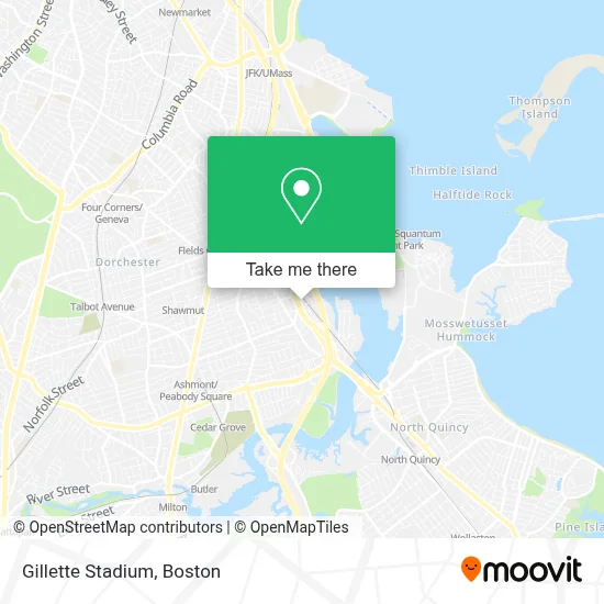
See Gillette Stadium, Boston, on the map
Public Transit to Gillette Stadium in Boston
Wondering how to get to Gillette Stadium in Boston? Moovit helps you find the best way to get to Gillette Stadium with step-by-step directions from the nearest public transit station.
Moovit provides free maps and live directions to help you navigate through your city. View schedules, routes, timetables, and find out how long does it take to get to Gillette Stadium in real time.
Looking for the nearest stop or station to Gillette Stadium? Check out this list of stops closest to your destination: Victory Rd @ Puritan Mall Driveway; Neponset Ave @ Victory Rd; Cedar Grove; Savin Hill; Quincy.
Bus: 201, 210, 202.Train: FAIRMOUNT.Subway: RED LINE, MATTAPAN LINE.Ferry: QUINCY FERRY, WINTHROP/QUINCY FERRY.
Want to see if there’s another route that gets you there at an earlier time? Moovit helps you find alternative routes or times. Get directions from and directions to Gillette Stadium easily from the Moovit App or Website.
We make riding to Gillette Stadium easy, which is why over 1.7 million users, including users in Boston, trust Moovit as the best app for public transit. You don’t need to download an individual bus app or train app, Moovit is your all-in-one transit app that helps you find the best bus time or train time available.
For information on prices of bus, subway and train, costs and ride fares to Gillette Stadium, please check the Moovit app.
Use the app to navigate to popular places including to the airport, hospital, stadium, grocery store, mall, coffee shop, school, college, and university.
Gillette Stadium Address: Morrissey Blvd street in Boston
- Comfort Inn,
- Comfort Inn - Boston Hotel Boston,
- Chiropractor Disc Herniation Treatment,
- Stop & Shop,
- SUBWAY,
- DUNKIN',
- Andrew Sobers - CMG Home Loans,
- Uber Boston,
- Metro Credit Union,
- Pro Tech Carpet Cleaning,
- Boston Exteriors,
- First Cliff Construction,
- Boston Bowl,
- Boston Bowl - Dorchester,
- Leahy-Holloran Community Center Council,
- Ramada Inn Boston Hotel Boston,
- Ramada by Wyndham Boston,
- Ramada Inn,
- Ramada Boston,
- Wyndham
Places Near Gillette Stadium (Boston)
- Boston Convention & Exhibition Center, Boston,
- Leader Bank Pavilion (Leader Bank Pavillion), Boston,
- Prudential Center, Boston,
- House Of Blues, Boston,
- Mgm Music Hall, Boston,
- Boston Children's Hospital, Boston,
- Boston Medical Center, Boston,
- Wang Theater, Boston,
- Faneuil Hall, Boston,
- Massachusetts General Hospital, Boston,
- Td Garden, Boston,
- Boston Common, Boston,
- Cheers, Boston,
- Museum Of Science, Boston,
- Quincy Market, Boston,
- North End, Boston,
- Isabella Stewart Gardner Museum, Boston,
- Wilbur Theatre, Boston,
- Castle Island, Boston,
- Seaport District, Boston
How to get to popular places in Boston with public transit
Get around Boston by public transit!
Traveling around Boston has never been so easy. See step by step directions as you travel to any attraction, street or major public transit station. View bus and train schedules, arrival times, service alerts and detailed routes on a map, so you know exactly how to get to anywhere in Boston.
When traveling to any destination around Boston use Moovit's Live Directions with Get Off Notifications to know exactly where and how far to walk, how long to wait for your line, and how many stops are left. Moovit will alert you when it's time to get off — no need to constantly re-check whether yours is the next stop.
Wondering how to use public transit in Boston or how to pay for public transit in Boston? Moovit public transit app can help you navigate your way with public transit easily, and at minimum cost. It includes public transit fees, ticket prices, and costs. Looking for a map of Boston public transit lines? Moovit public transit app shows all public transit maps in Boston with all Bus, Train, Subway and Ferry routes and stops on an interactive map.
Boston has 4 transit type(s), including: Bus, Train, Subway and Ferry, operated by several transit agencies, including MBTA, Southeastern Regional Transit Authority, MetroWest Regional Transit Authority, Rhode Island Public Transit Authority, WRTA, Lowell Regional Transit Authority, Merrimack Valley Transit, Montachusett Regional Transit Authority, Cape Cod Regional Transit Authority, Brockton Area Transit Authority, Martha's Vineyard Transit Authority, the WAVE - Nantucket Regional Transit Authority, GATRA, Cape Ann Transportation Authority and Massport