Directions to Glocester Locksmith (Boston) with public transportation
The following transit lines have routes that pass near Glocester Locksmith
 Bus: 9X.
How to get to Glocester Locksmith by bus?
Click on the bus route to see step by step directions with maps, line arrival times and updated time schedules.
Bus stop near Glocester Locksmith in Boston
- 765 Putnam, 4 min walk,VIEW
Bus lines to Glocester Locksmith in Boston
- 9X, Providence,VIEW
What are the closest stations to Glocester Locksmith?
The closest stations to Glocester Locksmith are:
- 765 Putnam is 331 yards away, 4 min walk.
Which bus line stops near Glocester Locksmith?
9X (Pascoag)
What’s the nearest bus station to Glocester Locksmith in Boston?
The nearest bus station to Glocester Locksmith in Boston is 765 Putnam. It’s a 4 min walk away.
What time is the first bus to Glocester Locksmith in Boston?
The 9X is the first bus that goes to Glocester Locksmith in Boston. It stops nearby at 6:49 AM.
What time is the last bus to Glocester Locksmith in Boston?
The 9X is the last bus that goes to Glocester Locksmith in Boston. It stops nearby at 5:53 PM.
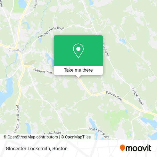
See Glocester Locksmith, Boston, on the map
Public Transit to Glocester Locksmith in Boston
Wondering how to get to Glocester Locksmith in Boston? Moovit helps you find the best way to get to Glocester Locksmith with step-by-step directions from the nearest public transit station.
Moovit provides free maps and live directions to help you navigate through your city. View schedules, routes, timetables, and find out how long does it take to get to Glocester Locksmith in real time.
Looking for the nearest stop or station to Glocester Locksmith? Check out this list of stops closest to your destination: 765 Putnam.
Bus: 9X.
Want to see if there’s another route that gets you there at an earlier time? Moovit helps you find alternative routes or times. Get directions from and directions to Glocester Locksmith easily from the Moovit App or Website.
We make riding to Glocester Locksmith easy, which is why over 1.7 million users, including users in Boston, trust Moovit as the best app for public transit. You don’t need to download an individual bus app or train app, Moovit is your all-in-one transit app that helps you find the best bus time or train time available.
For information on prices of bus, costs and ride fares to Glocester Locksmith, please check the Moovit app.
Use the app to navigate to popular places including to the airport, hospital, stadium, grocery store, mall, coffee shop, school, college, and university.
Glocester Locksmith Address: 700 Putnam Pike street in Boston
- Bud Balfour Insurance,
- Interstate Batteries,
- After Dark Motoring,
- Greenville Auto Welding,
- Salon 44,
- Pathways Medical Training,
- Progressive Realty Group,
- Long Realty Inc,
- Cackling Hens,
- Deantal Associates of Dr George A. Resnivick,
- Washer Repair Appliance Service,
- Mason Hall,
- Radon Management,
- The Hype Ri,
- German American Bank Itm,
- Bonnie Lee's Creations,
- Ronin Krav Maga,
- Acotes Hill Cemetery,
- United Healthcare,
- Merandate Home Services
Places Near Glocester Locksmith (Boston)
- Wang Theater, Boston,
- Boston Children's Hospital, Boston,
- Seaport District, Boston,
- Faneuil Hall, Boston,
- Cheers, Boston,
- Massachusetts General Hospital, Boston,
- Td Garden, Boston,
- Boston Common, Boston,
- Museum Of Science, Boston,
- Isabella Stewart Gardner Museum, Boston,
- North End, Boston,
- Mgm Music Hall, Boston,
- Wilbur Theatre, Boston,
- House Of Blues, Boston,
- Boston Convention & Exhibition Center, Boston,
- Boston Medical Center, Boston,
- Castle Island, Boston,
- Quincy Market, Boston,
- Prudential Center, Boston,
- Leader Bank Pavilion (Leader Bank Pavillion), Boston
How to get to popular places in Boston with public transit
Get around Boston by public transit!
Traveling around Boston has never been so easy. See step by step directions as you travel to any attraction, street or major public transit station. View bus and train schedules, arrival times, service alerts and detailed routes on a map, so you know exactly how to get to anywhere in Boston.
When traveling to any destination around Boston use Moovit's Live Directions with Get Off Notifications to know exactly where and how far to walk, how long to wait for your line, and how many stops are left. Moovit will alert you when it's time to get off — no need to constantly re-check whether yours is the next stop.
Wondering how to use public transit in Boston or how to pay for public transit in Boston? Moovit public transit app can help you navigate your way with public transit easily, and at minimum cost. It includes public transit fees, ticket prices, and costs. Looking for a map of Boston public transit lines? Moovit public transit app shows all public transit maps in Boston with all Bus, Train, Subway and Ferry routes and stops on an interactive map.
Boston has 4 transit type(s), including: Bus, Train, Subway and Ferry, operated by several transit agencies, including MBTA, Southeastern Regional Transit Authority, MetroWest Regional Transit Authority, Rhode Island Public Transit Authority, WRTA, Lowell Regional Transit Authority, Merrimack Valley Transit, Montachusett Regional Transit Authority, Cape Cod Regional Transit Authority, Brockton Area Transit Authority, Martha's Vineyard Transit Authority, the WAVE - Nantucket Regional Transit Authority, GATRA, Cape Ann Transportation Authority and Massport