How to get to Gnc by bus?
Click on the bus route to see step by step directions with maps, line arrival times and updated time schedules.
From Sommerville Theatre, Somerville
100 minFrom Boston Theatre District, Boston
42 minFrom Tufts Dental School, Boston
40 minFrom Target Fenway, Boston
104 minFrom The Liberty Hotel, Boston
34 minFrom Museum of Fine Arts (MFA), Boston
87 minFrom TJ Maxx, Boston
85 minFrom Harvard Square T Station - Red Line, Cambridge
85 minFrom Intercontinental-Boston (Intercontinental Hotel), Boston
34 minFrom Residence Inn by Marriott Boston Back Bay/Fenway, Boston
104 min
How to get to Gnc by subway?
Click on the subway route to see step by step directions with maps, line arrival times and updated time schedules.
From Sommerville Theatre, Somerville
56 minFrom Boston Theatre District, Boston
38 minFrom Tufts Dental School, Boston
37 minFrom Target Fenway, Boston
60 minFrom The Liberty Hotel, Boston
41 minFrom Museum of Fine Arts (MFA), Boston
54 minFrom TJ Maxx, Boston
43 minFrom Harvard Square T Station - Red Line, Cambridge
50 minFrom Intercontinental-Boston (Intercontinental Hotel), Boston
37 minFrom Residence Inn by Marriott Boston Back Bay/Fenway, Boston
58 min
Subway station near Gnc in Revere
- Orient Heights, 2 min walk,VIEW
Bus stops near Gnc in Revere
Bus lines to Gnc in Revere
What are the closest stations to Gnc?
The closest stations to Gnc are:
- Orient Heights is 148 yards away, 2 min walk.
- 41 Lee Burbank Hwy is 642 yards away, 8 min walk.
- 160 Waldemar Ave is 799 yards away, 10 min walk.
- Winthrop Ave @ Beachmont Station is 820 yards away, 10 min walk.
Which bus lines stop near Gnc?
These bus lines stop near Gnc: 119, 450.
Which subway line stops near Gnc?
BLUE LINE (Wonderland)
What’s the nearest subway station to Gnc in Revere?
The nearest subway station to Gnc in Revere is Orient Heights. It’s a 2 min walk away.
What’s the nearest bus station to Gnc in Revere?
The nearest bus station to Gnc in Revere is 41 Lee Burbank Hwy. It’s a 8 min walk away.
What time is the first subway to Gnc in Revere?
The BLUE LINE is the first subway that goes to Gnc in Revere. It stops nearby at 5:08 AM.
What time is the last subway to Gnc in Revere?
The BLUE LINE is the last subway that goes to Gnc in Revere. It stops nearby at 2:10 AM.
What time is the first bus to Gnc in Revere?
The 119 is the first bus that goes to Gnc in Revere. It stops nearby at 5:20 AM.
What time is the last bus to Gnc in Revere?
The 120 is the last bus that goes to Gnc in Revere. It stops nearby at 1:33 AM.
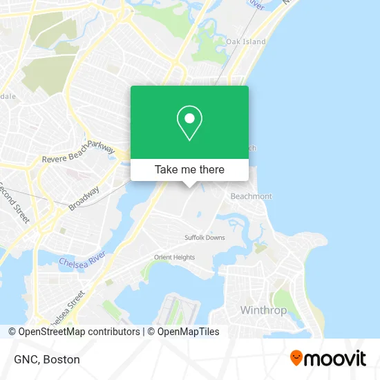
See Gnc, Revere, on the map
Public Transit to Gnc in Revere
Wondering how to get to Gnc in Revere? Moovit helps you find the best way to get to Gnc with step-by-step directions from the nearest public transit station.
Moovit provides free maps and live directions to help you navigate through your city. View schedules, routes, timetables, and find out how long does it take to get to Gnc in real time.
Looking for the nearest stop or station to Gnc? Check out this list of stops closest to your destination: Orient Heights; 41 Lee Burbank Hwy; 160 Waldemar Ave; Winthrop Ave @ Beachmont Station.
Bus: 119, 450, 120.Subway: BLUE LINE.
Want to see if there’s another route that gets you there at an earlier time? Moovit helps you find alternative routes or times. Get directions from and directions to Gnc easily from the Moovit App or Website.
We make riding to Gnc easy, which is why over 1.7 million users, including users in Revere, trust Moovit as the best app for public transit. You don’t need to download an individual bus app or train app, Moovit is your all-in-one transit app that helps you find the best bus time or train time available.
For information on prices of subway and bus, costs and ride fares to Gnc, please check the Moovit app.
Use the app to navigate to popular places including to the airport, hospital, stadium, grocery store, mall, coffee shop, school, college, and university.
Gnc Address: 31 Furlong Dr street in Revere
- Flaming Grill Buffet,
- Tesla,
- Stop & Shop (Shops at Suffolk Downs),
- Todisco Towing,
- Target,
- Duong' Quality Nails & Spa,
- Suffolk Downs,
- Holiday Inn Express,
- Holiday Inn Express-Boston Logan Revere,
- Grace Quality Used Cars,
- Sunoco (Lee Burbank Car Care Center),
- Hampton Inn Boston Logan Airport,
- Hampton,
- Kelly's Roast Beef,
- Wwzn,
- Beachmont Station,
- 93 Donnelly Sq,
- Pioneer Freight Systems (All Freight Import),
- Wonderland,
- Garfield Elementary School
Places Near Gnc (Revere)
- Castle Island, Boston,
- Boston Common, Boston,
- North End, Boston,
- Massachusetts General Hospital, Boston,
- Seaport District, Boston,
- Leader Bank Pavilion (Leader Bank Pavillion), Boston,
- House Of Blues, Boston,
- Isabella Stewart Gardner Museum, Boston,
- Wang Theater, Boston,
- Museum Of Science, Boston,
- Boston Children's Hospital, Boston,
- Quincy Market, Boston,
- Cheers, Boston,
- Faneuil Hall, Boston,
- Wilbur Theatre, Boston,
- Mgm Music Hall, Boston,
- Boston Convention & Exhibition Center, Boston,
- Boston Medical Center, Boston,
- Prudential Center, Boston,
- Td Garden, Boston
How to get to popular places in Boston with public transit
Get around Revere by public transit!
Traveling around Revere has never been so easy. See step by step directions as you travel to any attraction, street or major public transit station. View bus and train schedules, arrival times, service alerts and detailed routes on a map, so you know exactly how to get to anywhere in Revere.
When traveling to any destination around Revere use Moovit's Live Directions with Get Off Notifications to know exactly where and how far to walk, how long to wait for your line, and how many stops are left. Moovit will alert you when it's time to get off — no need to constantly re-check whether yours is the next stop.
Wondering how to use public transit in Revere or how to pay for public transit in Revere? Moovit public transit app can help you navigate your way with public transit easily, and at minimum cost. It includes public transit fees, ticket prices, and costs. Looking for a map of Revere public transit lines? Moovit public transit app shows all public transit maps in Revere with all Bus, Train, Subway and Ferry routes and stops on an interactive map.
Boston has 4 transit type(s), including: Bus, Train, Subway and Ferry, operated by several transit agencies, including MBTA, Southeastern Regional Transit Authority, MetroWest Regional Transit Authority, Rhode Island Public Transit Authority, WRTA, Lowell Regional Transit Authority, Merrimack Valley Transit, Montachusett Regional Transit Authority, Cape Cod Regional Transit Authority, Brockton Area Transit Authority, Martha's Vineyard Transit Authority, the WAVE - Nantucket Regional Transit Authority, GATRA, Cape Ann Transportation Authority and Massport