How to get to Golf Clubs Fore Less by bus?
Click on the bus route to see step by step directions with maps, line arrival times and updated time schedules.
From South Shore Hospital- Pratt 5, Weymouth Town
59 minFrom Staybridge Suites Boston-Quincy, Quincy
53 minFrom Dorchester District Court, Boston
79 minFrom Dorchester, Boston
83 minFrom Boston Scientific, Quincy
81 minFrom Lower Mills, Boston
63 minFrom Wollaston Beach, Quincy
84 minFrom JFK Library, Boston
126 minFrom UMass Boston Campus Center, Boston
127 min
How to get to Golf Clubs Fore Less by train?
Click on the train route to see step by step directions with maps, line arrival times and updated time schedules.
How to get to Golf Clubs Fore Less by subway?
Click on the subway route to see step by step directions with maps, line arrival times and updated time schedules.
Bus stop near Golf Clubs Fore Less in Braintree Town
- Elm St Opp Drinkwater Ave, 1 min walk,VIEW
Subway station near Golf Clubs Fore Less in Braintree Town
- Braintree, 50 min walk,VIEW
Train stations near Golf Clubs Fore Less in Braintree Town
Bus lines to Golf Clubs Fore Less in Braintree Town
- 236, South Shore Plaza,VIEW
What are the closest stations to Golf Clubs Fore Less?
The closest stations to Golf Clubs Fore Less are:
- Elm St Opp Drinkwater Ave is 74 yards away, 1 min walk.
- Braintree is 4253 yards away, 50 min walk.
- Weymouth Landing/East Braintree is 5313 yards away, 62 min walk.
Which bus lines stop near Golf Clubs Fore Less?
These bus lines stop near Golf Clubs Fore Less: 215, 230, 236.
Which train lines stop near Golf Clubs Fore Less?
These train lines stop near Golf Clubs Fore Less: GREENBUSH, KINGSTON.
Which subway line stops near Golf Clubs Fore Less?
RED LINE (Ashmont/Braintree)
What’s the nearest bus station to Golf Clubs Fore Less in Braintree Town?
The nearest bus station to Golf Clubs Fore Less in Braintree Town is Elm St Opp Drinkwater Ave. It’s a 1 min walk away.
What time is the first subway to Golf Clubs Fore Less in Braintree Town?
The RED LINE is the first subway that goes to Golf Clubs Fore Less in Braintree Town. It stops nearby at 5:09 AM.
What time is the last subway to Golf Clubs Fore Less in Braintree Town?
The RED LINE is the last subway that goes to Golf Clubs Fore Less in Braintree Town. It stops nearby at 2:00 AM.
What time is the first train to Golf Clubs Fore Less in Braintree Town?
The FALL RIVER/NEW BEDFORD is the first train that goes to Golf Clubs Fore Less in Braintree Town. It stops nearby at 5:27 AM.
What time is the last train to Golf Clubs Fore Less in Braintree Town?
The KINGSTON is the last train that goes to Golf Clubs Fore Less in Braintree Town. It stops nearby at 12:25 AM.
What time is the first bus to Golf Clubs Fore Less in Braintree Town?
The 236 is the first bus that goes to Golf Clubs Fore Less in Braintree Town. It stops nearby at 6:50 AM.
What time is the last bus to Golf Clubs Fore Less in Braintree Town?
The 236 is the last bus that goes to Golf Clubs Fore Less in Braintree Town. It stops nearby at 8:38 PM.
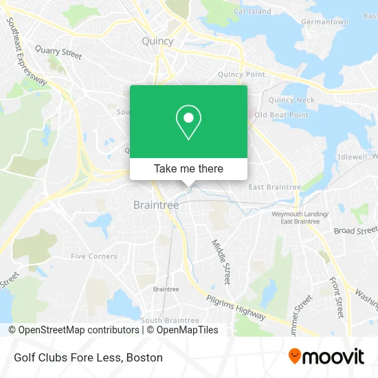
See Golf Clubs Fore Less, Braintree Town, on the map
Public Transit to Golf Clubs Fore Less in Braintree Town
Wondering how to get to Golf Clubs Fore Less in Braintree Town? Moovit helps you find the best way to get to Golf Clubs Fore Less with step-by-step directions from the nearest public transit station.
Moovit provides free maps and live directions to help you navigate through your city. View schedules, routes, timetables, and find out how long does it take to get to Golf Clubs Fore Less in real time.
Looking for the nearest stop or station to Golf Clubs Fore Less? Check out this list of stops closest to your destination: Elm St Opp Drinkwater Ave; Braintree; Weymouth Landing/East Braintree.
Bus: 215, 230, 236.Train: GREENBUSH, KINGSTON, CAPEFLYER, FALL RIVER/NEW BEDFORD.Subway: RED LINE.
Want to see if there’s another route that gets you there at an earlier time? Moovit helps you find alternative routes or times. Get directions from and directions to Golf Clubs Fore Less easily from the Moovit App or Website.
We make riding to Golf Clubs Fore Less easy, which is why over 1.7 million users, including users in Braintree Town, trust Moovit as the best app for public transit. You don’t need to download an individual bus app or train app, Moovit is your all-in-one transit app that helps you find the best bus time or train time available.
For information on prices of bus, subway and train, costs and ride fares to Golf Clubs Fore Less, please check the Moovit app.
Use the app to navigate to popular places including to the airport, hospital, stadium, grocery store, mall, coffee shop, school, college, and university.
Golf Clubs Fore Less Address: 25 Adams Street, #109, Unit 109 street in Braintree Town
- Alchemy Massage,
- Mythology Aesthetics,
- Bob Wolusky Chimney,
- Montville Door Company,
- Sally Bowen Photography,
- Troop 19 Weymouth/Braintree Ma,
- Saint Thomas Mores School,
- Simon Accounting and Tax,
- Carvin & Delaney,
- Elm St / Cedar St,
- Dentist in Braintree, Ma,
- Locksmith of Braintree,
- Williams,
- Miller Transportation Group,
- TLC Supply,
- Middle St @ Morrison St,
- Little Bean Daycare,
- Leetch Brother's Movers,
- Cscarfinder,
- Concrete Man Dba
Places Near Golf Clubs Fore Less (Braintree Town)
- Castle Island, Boston,
- Boston Convention & Exhibition Center, Boston,
- Seaport District, Boston,
- Prudential Center, Boston,
- Wilbur Theatre, Boston,
- Museum Of Science, Boston,
- Mgm Music Hall, Boston,
- Wang Theater, Boston,
- Faneuil Hall, Boston,
- Td Garden, Boston,
- Quincy Market, Boston,
- Massachusetts General Hospital, Boston,
- Boston Medical Center, Boston,
- North End, Boston,
- Leader Bank Pavilion (Leader Bank Pavillion), Boston,
- Cheers, Boston,
- Boston Children's Hospital, Boston,
- House Of Blues, Boston,
- Boston Common, Boston,
- Isabella Stewart Gardner Museum, Boston
How to get to popular places in Boston with public transit
Get around Braintree Town by public transit!
Traveling around Braintree Town has never been so easy. See step by step directions as you travel to any attraction, street or major public transit station. View bus and train schedules, arrival times, service alerts and detailed routes on a map, so you know exactly how to get to anywhere in Braintree Town.
When traveling to any destination around Braintree Town use Moovit's Live Directions with Get Off Notifications to know exactly where and how far to walk, how long to wait for your line, and how many stops are left. Moovit will alert you when it's time to get off — no need to constantly re-check whether yours is the next stop.
Wondering how to use public transit in Braintree Town or how to pay for public transit in Braintree Town? Moovit public transit app can help you navigate your way with public transit easily, and at minimum cost. It includes public transit fees, ticket prices, and costs. Looking for a map of Braintree Town public transit lines? Moovit public transit app shows all public transit maps in Braintree Town with all Bus, Train, Subway and Ferry routes and stops on an interactive map.
Boston has 4 transit type(s), including: Bus, Train, Subway and Ferry, operated by several transit agencies, including MBTA, Southeastern Regional Transit Authority, MetroWest Regional Transit Authority, Rhode Island Public Transit Authority, WRTA, Lowell Regional Transit Authority, Merrimack Valley Transit, Montachusett Regional Transit Authority, Cape Cod Regional Transit Authority, Brockton Area Transit Authority, Martha's Vineyard Transit Authority, the WAVE - Nantucket Regional Transit Authority, GATRA, Cape Ann Transportation Authority and Massport