Directions to Good Tunes Bicycle Shop (Boston) with public transportation
The following transit lines have routes that pass near Good Tunes Bicycle Shop
 Bus: B17.
How to get to Good Tunes Bicycle Shop by bus?
Click on the bus route to see step by step directions with maps, line arrival times and updated time schedules.
From Worcester, MA, Worcester
123 minFrom Dcu Center, Worcester
125 minFrom South High Community School, Worcester
220 minFrom Registry Of Motor Vehicles (Rmv) Branch Office, Worcester
127 minFrom Polar Park, Worcester
125 minFrom Foxwoods, Worcester
153 minFrom Palladium, Worcester
128 minFrom Walmart Supercenter, Worcester
182 min
Bus stop near Good Tunes Bicycle Shop in Boston
- Wilbraham / Bellwood, 7 min walk,VIEW
Bus lines to Good Tunes Bicycle Shop in Boston
- B17, 16 Acres Via Wilbraham Rd / Worthington St,VIEW
What are the closest stations to Good Tunes Bicycle Shop?
The closest stations to Good Tunes Bicycle Shop are:
- Wilbraham / Bellwood is 533 yards away, 7 min walk.
Which bus line stops near Good Tunes Bicycle Shop?
B17 (Wilbraham Big Y Via Wilbraham Rd)
What’s the nearest bus station to Good Tunes Bicycle Shop in Boston?
The nearest bus station to Good Tunes Bicycle Shop in Boston is Wilbraham / Bellwood. It’s a 7 min walk away.
What time is the first bus to Good Tunes Bicycle Shop in Boston?
The B17 is the first bus that goes to Good Tunes Bicycle Shop in Boston. It stops nearby at 6:06 AM.
What time is the last bus to Good Tunes Bicycle Shop in Boston?
The B17 is the last bus that goes to Good Tunes Bicycle Shop in Boston. It stops nearby at 7:00 PM.
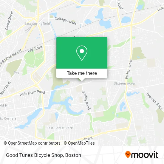
See Good Tunes Bicycle Shop, Boston, on the map
Public Transit to Good Tunes Bicycle Shop in Boston
Wondering how to get to Good Tunes Bicycle Shop in Boston? Moovit helps you find the best way to get to Good Tunes Bicycle Shop with step-by-step directions from the nearest public transit station.
Moovit provides free maps and live directions to help you navigate through your city. View schedules, routes, timetables, and find out how long does it take to get to Good Tunes Bicycle Shop in real time.
Looking for the nearest stop or station to Good Tunes Bicycle Shop? Check out this list of stops closest to your destination: Wilbraham / Bellwood.
Bus: B17.
Want to see if there’s another route that gets you there at an earlier time? Moovit helps you find alternative routes or times. Get directions from and directions to Good Tunes Bicycle Shop easily from the Moovit App or Website.
We make riding to Good Tunes Bicycle Shop easy, which is why over 1.7 million users, including users in Boston, trust Moovit as the best app for public transit. You don’t need to download an individual bus app or train app, Moovit is your all-in-one transit app that helps you find the best bus time or train time available.
For information on prices of bus, costs and ride fares to Good Tunes Bicycle Shop, please check the Moovit app.
Use the app to navigate to popular places including to the airport, hospital, stadium, grocery store, mall, coffee shop, school, college, and university.
Good Tunes Bicycle Shop Address: 483 Breckwood Blvd street in Boston
- Springfield Dental for Kids,
- 475 Breckwood Blvd Parking,
- In A Flash,
- Tripod Locksmith & Key,
- Springfield Total Water Damage,
- Pappas Pizza,
- 1110 Wilbraham Rd Parking,
- Pride,
- F.L. Roberts,
- Amazon Locker-Saoirse,
- Breckwood Lake,
- Breckwood Substation,
- Western New England College Bookstore,
- Alumni Healthful Living Center,
- Quiznos Sub,
- Suprenant Field,
- Western NE Rock Food C,
- Wne Rock,
- Trelease Park,
- Java City & Provisions on Demand
Places Near Good Tunes Bicycle Shop (Boston)
- Seaport District, Boston,
- Museum Of Science, Boston,
- Faneuil Hall, Boston,
- Boston Common, Boston,
- Boston Convention & Exhibition Center, Boston,
- Boston Children's Hospital, Boston,
- Leader Bank Pavilion (Leader Bank Pavillion), Boston,
- Td Garden, Boston,
- Wilbur Theatre, Boston,
- House Of Blues, Boston,
- Isabella Stewart Gardner Museum, Boston,
- Wang Theater, Boston,
- Massachusetts General Hospital, Boston,
- Castle Island, Boston,
- Cheers, Boston,
- Boston Medical Center, Boston,
- Prudential Center, Boston,
- Quincy Market, Boston,
- North End, Boston,
- Mgm Music Hall, Boston
How to get to popular places in Boston with public transit
Get around Boston by public transit!
Traveling around Boston has never been so easy. See step by step directions as you travel to any attraction, street or major public transit station. View bus and train schedules, arrival times, service alerts and detailed routes on a map, so you know exactly how to get to anywhere in Boston.
When traveling to any destination around Boston use Moovit's Live Directions with Get Off Notifications to know exactly where and how far to walk, how long to wait for your line, and how many stops are left. Moovit will alert you when it's time to get off — no need to constantly re-check whether yours is the next stop.
Wondering how to use public transit in Boston or how to pay for public transit in Boston? Moovit public transit app can help you navigate your way with public transit easily, and at minimum cost. It includes public transit fees, ticket prices, and costs. Looking for a map of Boston public transit lines? Moovit public transit app shows all public transit maps in Boston with all Bus, Train, Subway and Ferry routes and stops on an interactive map.
Boston has 4 transit type(s), including: Bus, Train, Subway and Ferry, operated by several transit agencies, including MBTA, Southeastern Regional Transit Authority, MetroWest Regional Transit Authority, Rhode Island Public Transit Authority, WRTA, Lowell Regional Transit Authority, Merrimack Valley Transit, Montachusett Regional Transit Authority, Cape Cod Regional Transit Authority, Brockton Area Transit Authority, Martha's Vineyard Transit Authority, the WAVE - Nantucket Regional Transit Authority, GATRA, Cape Ann Transportation Authority and Massport