Directions to Gufo (Cambridge) with public transportation
The following transit lines have routes that pass near Gufo
 Bus: 109, 69, 80, 85, 87.
- Train: FAIRMOUNT, FRAMINGHAM/WORCESTER, KINGSTON, LOWELL.
- Subway: GREEN LINE E, RED LINE, GREEN LINE D, GREEN LINE B, GREEN LINE C.
How to get to Gufo by bus?
Click on the bus route to see step by step directions with maps, line arrival times and updated time schedules.
From Chevalier Theater, Medford
47 minFrom Washington St, Boston
80 minFrom Dorchester District Court, Boston
82 minFrom Belmont, MA, Belmont
36 minFrom Revere Beach, Revere
96 minFrom Stone Zoo, Stoneham
85 minFrom Children's Hospital, Boston
73 minFrom Dorchester, Boston
82 minFrom Winchester, MA, Winchester
69 minFrom Six Flags New England, Newton
59 min
How to get to Gufo by train?
Click on the train route to see step by step directions with maps, line arrival times and updated time schedules.
How to get to Gufo by subway?
Click on the subway route to see step by step directions with maps, line arrival times and updated time schedules.
Bus stops near Gufo in Cambridge
Subway stations near Gufo in Cambridge
Bus lines to Gufo in Cambridge
What are the closest stations to Gufo?
The closest stations to Gufo are:
- Cambridge St @ Columbia St is 253 yards away, 4 min walk.
- Central is 621 yards away, 8 min walk.
- Mcgrath Hwy @ Medford St is 831 yards away, 10 min walk.
- Union Square is 1317 yards away, 16 min walk.
- East Somerville Station is 1954 yards away, 24 min walk.
Which bus lines stop near Gufo?
These bus lines stop near Gufo: 109, 69, 80, 85.
Which train lines stop near Gufo?
These train lines stop near Gufo: FAIRMOUNT, FRAMINGHAM/WORCESTER, KINGSTON, LOWELL.
Which subway lines stop near Gufo?
These subway lines stop near Gufo: GREEN LINE E, RED LINE.
What’s the nearest subway station to Gufo in Cambridge?
The nearest subway station to Gufo in Cambridge is Central. It’s a 8 min walk away.
What’s the nearest bus station to Gufo in Cambridge?
The nearest bus station to Gufo in Cambridge is Cambridge St @ Columbia St. It’s a 4 min walk away.
What time is the first subway to Gufo in Cambridge?
The GREEN LINE E is the first subway that goes to Gufo in Cambridge. It stops nearby at 4:49 AM.
What time is the last subway to Gufo in Cambridge?
The GREEN LINE E is the last subway that goes to Gufo in Cambridge. It stops nearby at 2:34 AM.
What time is the first bus to Gufo in Cambridge?
The 80 is the first bus that goes to Gufo in Cambridge. It stops nearby at 5:20 AM.
What time is the last bus to Gufo in Cambridge?
The 69 is the last bus that goes to Gufo in Cambridge. It stops nearby at 1:24 AM.
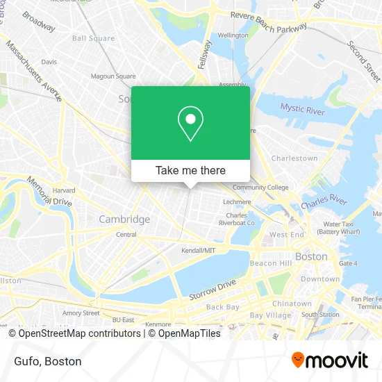
See Gufo, Cambridge, on the map
Public Transit to Gufo in Cambridge
Wondering how to get to Gufo in Cambridge? Moovit helps you find the best way to get to Gufo with step-by-step directions from the nearest public transit station.
Moovit provides free maps and live directions to help you navigate through your city. View schedules, routes, timetables, and find out how long does it take to get to Gufo in real time.
Looking for the nearest stop or station to Gufo? Check out this list of stops closest to your destination: Cambridge St @ Columbia St; Central; Mcgrath Hwy @ Medford St; Union Square; East Somerville Station.
Bus: 109, 69, 80, 85, 87, 88.Train: FAIRMOUNT, FRAMINGHAM/WORCESTER, KINGSTON, LOWELL.Subway: GREEN LINE E, RED LINE, GREEN LINE D, GREEN LINE B, GREEN LINE C.
Want to see if there’s another route that gets you there at an earlier time? Moovit helps you find alternative routes or times. Get directions from and directions to Gufo easily from the Moovit App or Website.
We make riding to Gufo easy, which is why over 1.7 million users, including users in Cambridge, trust Moovit as the best app for public transit. You don’t need to download an individual bus app or train app, Moovit is your all-in-one transit app that helps you find the best bus time or train time available.
For information on prices of bus, subway and train, costs and ride fares to Gufo, please check the Moovit app.
Use the app to navigate to popular places including to the airport, hospital, stadium, grocery store, mall, coffee shop, school, college, and university.
Gufo Address: 660 Cambridge St street in Cambridge
- The Snack Bar (O Senhor Ramos),
- Silk Road Uyghur Cuisine,
- Suds-Zo Laundromat (Suds-Zo LLC Laundromats),
- PSS Cleaning Service,
- Brazilian Ipanema Hair Salon,
- Cha East Cambridge Care Center (Cambridge Health Alliance,+Gore+St),
- Metro 9,
- Dollar Tree,
- A1a Lockout,
- Courthouse Fish Market (Court House Fish Market),
- Gore Field,
- Sewfisticated,
- Formlabs,
- Twin City Plaza,
- Gore Park,
- K&G,
- Twin City Plaza,
- Star Market,
- Wellington-Harrington, Massachusetts,
- PNC Bank
Places Near Gufo (Cambridge)
- Prudential Center, Boston,
- Cheers, Boston,
- Boston Convention & Exhibition Center, Boston,
- Td Garden, Boston,
- Castle Island, Boston,
- Wang Theater, Boston,
- Boston Children's Hospital, Boston,
- Leader Bank Pavilion (Leader Bank Pavillion), Boston,
- Massachusetts General Hospital, Boston,
- Boston Medical Center, Boston,
- Seaport District, Boston,
- Faneuil Hall, Boston,
- House Of Blues, Boston,
- Museum Of Science, Boston,
- Quincy Market, Boston,
- Boston Common, Boston,
- Wilbur Theatre, Boston,
- Mgm Music Hall, Boston,
- Isabella Stewart Gardner Museum, Boston,
- North End, Boston
How to get to popular places in Boston with public transit
Get around Cambridge by public transit!
Traveling around Cambridge has never been so easy. See step by step directions as you travel to any attraction, street or major public transit station. View bus and train schedules, arrival times, service alerts and detailed routes on a map, so you know exactly how to get to anywhere in Cambridge.
When traveling to any destination around Cambridge use Moovit's Live Directions with Get Off Notifications to know exactly where and how far to walk, how long to wait for your line, and how many stops are left. Moovit will alert you when it's time to get off — no need to constantly re-check whether yours is the next stop.
Wondering how to use public transit in Cambridge or how to pay for public transit in Cambridge? Moovit public transit app can help you navigate your way with public transit easily, and at minimum cost. It includes public transit fees, ticket prices, and costs. Looking for a map of Cambridge public transit lines? Moovit public transit app shows all public transit maps in Cambridge with all Bus, Train, Subway and Ferry routes and stops on an interactive map.
Boston has 4 transit type(s), including: Bus, Train, Subway and Ferry, operated by several transit agencies, including MBTA, Southeastern Regional Transit Authority, MetroWest Regional Transit Authority, Rhode Island Public Transit Authority, WRTA, Lowell Regional Transit Authority, Merrimack Valley Transit, Montachusett Regional Transit Authority, Cape Cod Regional Transit Authority, Brockton Area Transit Authority, Martha's Vineyard Transit Authority, the WAVE - Nantucket Regional Transit Authority, GATRA, Cape Ann Transportation Authority and Massport