How to get to H2o by bus?
Click on the bus route to see step by step directions with maps, line arrival times and updated time schedules.
From Bristol Community College, Fall River
82 minFrom Walmart Fall River Supercenter, Fall River
95 minFrom Amazon Fulfillment Bos7, Fall River
111 minFrom Lizzy Borden House, Fall River
61 minFrom B.M.C. Durfee High School, Fall River
81 minFrom Barahona Express, Providence
109 minFrom Charlton Memorial Hospital, Fall River
100 min
Bus stops near H2o in Boston
Bus lines to H2o in Boston
What are the closest stations to H2o?
The closest stations to H2o are:
- Bellevue After Perry is 629 yards away, 8 min walk.
- Marlborough Before Thames is 654 yards away, 8 min walk.
Which bus lines stop near H2o?
These bus lines stop near H2o: 24L, 60.
What’s the nearest bus station to H2o in Boston?
The nearest bus stations to H2o in Boston are Bellevue After Perry and Marlborough Before Thames. The closest one is a 8 min walk away.
What time is the first bus to H2o in Boston?
The 60 is the first bus that goes to H2o in Boston. It stops nearby at 4:40 AM.
What time is the last bus to H2o in Boston?
The 60 is the last bus that goes to H2o in Boston. It stops nearby at 1:22 AM.
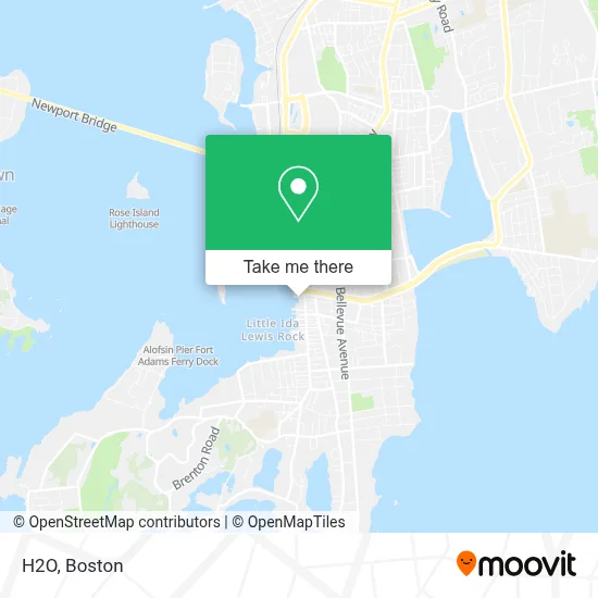
See H2o, Boston, on the map
Public Transit to H2o in Boston
Wondering how to get to H2o in Boston? Moovit helps you find the best way to get to H2o with step-by-step directions from the nearest public transit station.
Moovit provides free maps and live directions to help you navigate through your city. View schedules, routes, timetables, and find out how long does it take to get to H2o in real time.
Looking for the nearest stop or station to H2o? Check out this list of stops closest to your destination: Bellevue After Perry; Marlborough Before Thames.
Bus: 24L, 60, 67, 63, 68.
Want to see if there’s another route that gets you there at an earlier time? Moovit helps you find alternative routes or times. Get directions from and directions to H2o easily from the Moovit App or Website.
We make riding to H2o easy, which is why over 1.7 million users, including users in Boston, trust Moovit as the best app for public transit. You don’t need to download an individual bus app or train app, Moovit is your all-in-one transit app that helps you find the best bus time or train time available.
For information on prices of bus, costs and ride fares to H2o, please check the Moovit app.
Use the app to navigate to popular places including to the airport, hospital, stadium, grocery store, mall, coffee shop, school, college, and university.
H2o Address: 359 Thames St street in Boston
- H2O & Water Bar Lounge,
- Rose Island Lighthouse (Rose Island Light House Foundation),
- Sol Optics - Newport,
- Atlas ATM,
- Atlantic Stars,
- Hmy Yachts,
- Arabella,
- Yankee Boat Peddlers,
- Our Island Apparel,
- Chicks Ahoy,
- Lobster Roll Heaven,
- Shake It Up Nutrition,
- Green Dragon Chinese Restaurant,
- Adam Financial,
- Bam Design,
- The Marina at Brown and Howard Wharf,
- NE Coastal Homes William Raveis,
- Raveis Real Estate,
- Friskie Fries,
- Bluenose Yacht Sales New England
Places Near H2o (Boston)
- Td Garden, Boston,
- Castle Island, Boston,
- Wilbur Theatre, Boston,
- Prudential Center, Boston,
- North End, Boston,
- Faneuil Hall, Boston,
- Massachusetts General Hospital, Boston,
- Seaport District, Boston,
- Boston Medical Center, Boston,
- House Of Blues, Boston,
- Boston Common, Boston,
- Boston Convention & Exhibition Center, Boston,
- Museum Of Science, Boston,
- Cheers, Boston,
- Boston Children's Hospital, Boston,
- Mgm Music Hall, Boston,
- Quincy Market, Boston,
- Isabella Stewart Gardner Museum, Boston,
- Wang Theater, Boston,
- Leader Bank Pavilion (Leader Bank Pavillion), Boston
How to get to popular places in Boston with public transit
Get around Boston by public transit!
Traveling around Boston has never been so easy. See step by step directions as you travel to any attraction, street or major public transit station. View bus and train schedules, arrival times, service alerts and detailed routes on a map, so you know exactly how to get to anywhere in Boston.
When traveling to any destination around Boston use Moovit's Live Directions with Get Off Notifications to know exactly where and how far to walk, how long to wait for your line, and how many stops are left. Moovit will alert you when it's time to get off — no need to constantly re-check whether yours is the next stop.
Wondering how to use public transit in Boston or how to pay for public transit in Boston? Moovit public transit app can help you navigate your way with public transit easily, and at minimum cost. It includes public transit fees, ticket prices, and costs. Looking for a map of Boston public transit lines? Moovit public transit app shows all public transit maps in Boston with all Bus, Train, Subway and Ferry routes and stops on an interactive map.
Boston has 4 transit type(s), including: Bus, Train, Subway and Ferry, operated by several transit agencies, including MBTA, Southeastern Regional Transit Authority, MetroWest Regional Transit Authority, Rhode Island Public Transit Authority, WRTA, Lowell Regional Transit Authority, Merrimack Valley Transit, Montachusett Regional Transit Authority, Cape Cod Regional Transit Authority, Brockton Area Transit Authority, Martha's Vineyard Transit Authority, the WAVE - Nantucket Regional Transit Authority, GATRA, Cape Ann Transportation Authority and Massport