Directions to Hack at Brown (Boston) with public transportation
The following transit lines have routes that pass near Hack at Brown
 Bus: 1, 21, 35, 54, 32.
- Train: PROVIDENCE/STOUGHTON, ACELA, NORTHEAST REGIONAL, PROVIDENCE LINE SHUTTLE, PROVIDENCE LINE SHUTTLE.
How to get to Hack at Brown by bus?
Click on the bus route to see step by step directions with maps, line arrival times and updated time schedules.
How to get to Hack at Brown by train?
Click on the train route to see step by step directions with maps, line arrival times and updated time schedules.
Bus stops near Hack at Brown in Boston
Train stations near Hack at Brown in Boston
- Providence, 8 min walk,VIEW
Bus lines to Hack at Brown in Boston
- 1, Eddy St/Hope St/Benefit St,VIEW
- 32, Wampanoag Mall/Seekonk Square,VIEW
- 33, Riverside,VIEW
- 34, Warren Ave/Seekonk Square,VIEW
- 35, Rumford/Newport Ave,VIEW
- 40, Butler Hospital/Elmgrove Ave,VIEW
- 78, Beverage Hill Ave (East Providence & Pawtucket),VIEW
- 61X, Tiverton/East Bay Express,VIEW
- 92, Riverview Place Via Governor Apts,VIEW
- 60, Newport Via W Main Rd,VIEW
What are the closest stations to Hack at Brown?
The closest stations to Hack at Brown are:
- Tunnel Before S Main is 75 yards away, 1 min walk.
- Westminster After Memorial is 131 yards away, 2 min walk.
- Memorial After Westminster is 186 yards away, 3 min walk.
- Providence is 580 yards away, 8 min walk.
Which bus lines stop near Hack at Brown?
These bus lines stop near Hack at Brown: 1, 21, 35, 54.
Which train line stops near Hack at Brown?
PROVIDENCE/STOUGHTON (#827 | Wickford Junction)
What’s the nearest train station to Hack at Brown in Boston?
The nearest train station to Hack at Brown in Boston is Providence. It’s a 8 min walk away.
What’s the nearest bus station to Hack at Brown in Boston?
The nearest bus station to Hack at Brown in Boston is Tunnel Before S Main. It’s a 1 min walk away.
What time is the first train to Hack at Brown in Boston?
The PROVIDENCE/STOUGHTON is the first train that goes to Hack at Brown in Boston. It stops nearby at 4:10 AM.
What time is the last train to Hack at Brown in Boston?
The NORTHEAST REGIONAL is the last train that goes to Hack at Brown in Boston. It stops nearby at 9:17 AM.
What time is the first bus to Hack at Brown in Boston?
The 33 is the first bus that goes to Hack at Brown in Boston. It stops nearby at 5:41 AM.
What time is the last bus to Hack at Brown in Boston?
The 60 is the last bus that goes to Hack at Brown in Boston. It stops nearby at 12:59 AM.
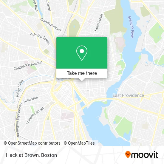
See Hack at Brown, Boston, on the map
Public Transit to Hack at Brown in Boston
Wondering how to get to Hack at Brown in Boston? Moovit helps you find the best way to get to Hack at Brown with step-by-step directions from the nearest public transit station.
Moovit provides free maps and live directions to help you navigate through your city. View schedules, routes, timetables, and find out how long does it take to get to Hack at Brown in real time.
Looking for the nearest stop or station to Hack at Brown? Check out this list of stops closest to your destination: Tunnel Before S Main; Westminster After Memorial; Memorial After Westminster; Providence.
Bus: 1, 21, 35, 54, 32, 33, 34, 92, 60.Train: PROVIDENCE/STOUGHTON, ACELA, NORTHEAST REGIONAL, PROVIDENCE LINE SHUTTLE, PROVIDENCE LINE SHUTTLE, PROVIDENCE LINE SHUTTLE, FOXBORO EVENT SERVICE.
Want to see if there’s another route that gets you there at an earlier time? Moovit helps you find alternative routes or times. Get directions from and directions to Hack at Brown easily from the Moovit App or Website.
We make riding to Hack at Brown easy, which is why over 1.7 million users, including users in Boston, trust Moovit as the best app for public transit. You don’t need to download an individual bus app or train app, Moovit is your all-in-one transit app that helps you find the best bus time or train time available.
For information on prices of bus and train, costs and ride fares to Hack at Brown, please check the Moovit app.
Use the app to navigate to popular places including to the airport, hospital, stadium, grocery store, mall, coffee shop, school, college, and university.
Hack at Brown Address: Brown University, 45 Prospect St street in Boston
- Brown University College Green,
- Epic-Realtor-Sadd,
- University Hall (Brown University),
- Brown University,
- Brown University International Mentoring Program,
- Brown University,
- Keeney Quad,
- Jameson-Mead Building,
- Performing Arts Center Site,
- Alpha Delta Phi Fraternity,
- College Hill, Rhode Island,
- RISD,
- Giancarlo Plaza,
- Rhode Island Supreme Court (Supreme Ct-Fugitive Task Force),
- RISD Museum,
- Rhode Island School of Design Msm (Museum of Art),
- Brown University- Smith Buonanno Hall Room 106,
- Hemenway's Restaurant,
- Ghosts of Providence by US Ghost Adventures,
- Elizabeth P Santilli Attorney
Places Near Hack at Brown (Boston)
- Leader Bank Pavilion (Leader Bank Pavillion), Boston,
- Seaport District, Boston,
- North End, Boston,
- Mgm Music Hall, Boston,
- Isabella Stewart Gardner Museum, Boston,
- Boston Medical Center, Boston,
- Prudential Center, Boston,
- Museum Of Science, Boston,
- Castle Island, Boston,
- Boston Children's Hospital, Boston,
- Wilbur Theatre, Boston,
- Massachusetts General Hospital, Boston,
- Boston Convention & Exhibition Center, Boston,
- House Of Blues, Boston,
- Quincy Market, Boston,
- Cheers, Boston,
- Td Garden, Boston,
- Wang Theater, Boston,
- Boston Common, Boston,
- Faneuil Hall, Boston
How to get to popular places in Boston with public transit
Get around Boston by public transit!
Traveling around Boston has never been so easy. See step by step directions as you travel to any attraction, street or major public transit station. View bus and train schedules, arrival times, service alerts and detailed routes on a map, so you know exactly how to get to anywhere in Boston.
When traveling to any destination around Boston use Moovit's Live Directions with Get Off Notifications to know exactly where and how far to walk, how long to wait for your line, and how many stops are left. Moovit will alert you when it's time to get off — no need to constantly re-check whether yours is the next stop.
Wondering how to use public transit in Boston or how to pay for public transit in Boston? Moovit public transit app can help you navigate your way with public transit easily, and at minimum cost. It includes public transit fees, ticket prices, and costs. Looking for a map of Boston public transit lines? Moovit public transit app shows all public transit maps in Boston with all Bus, Train, Subway and Ferry routes and stops on an interactive map.
Boston has 4 transit type(s), including: Bus, Train, Subway and Ferry, operated by several transit agencies, including MBTA, Southeastern Regional Transit Authority, MetroWest Regional Transit Authority, Rhode Island Public Transit Authority, WRTA, Lowell Regional Transit Authority, Merrimack Valley Transit, Montachusett Regional Transit Authority, Cape Cod Regional Transit Authority, Brockton Area Transit Authority, Martha's Vineyard Transit Authority, the WAVE - Nantucket Regional Transit Authority, GATRA, Cape Ann Transportation Authority and Massport