How to get to Hanscom Field Civil Air Terminal by bus?
Click on the bus route to see step by step directions with maps, line arrival times and updated time schedules.
Bus stop near Hanscom Field Civil Air Terminal in Boston
- Hanscom Field Dr @ Old Bedford Rd, 9 min walk,VIEW
Bus lines to Hanscom Field Civil Air Terminal in Boston
- 76, Alewife Via Hanscom Airport,VIEW
What are the closest stations to Hanscom Field Civil Air Terminal?
The closest stations to Hanscom Field Civil Air Terminal are:
- Hanscom Field Dr @ Old Bedford Rd is 669 yards away, 9 min walk.
Which bus line stops near Hanscom Field Civil Air Terminal?
62/76 (Bedford Va Via Hanscom Airport)
What’s the nearest bus station to Hanscom Field Civil Air Terminal in Boston?
The nearest bus station to Hanscom Field Civil Air Terminal in Boston is Hanscom Field Dr @ Old Bedford Rd. It’s a 9 min walk away.
What time is the first bus to Hanscom Field Civil Air Terminal in Boston?
The 62/76 is the first bus that goes to Hanscom Field Civil Air Terminal in Boston. It stops nearby at 5:28 AM.
What time is the last bus to Hanscom Field Civil Air Terminal in Boston?
The 76 is the last bus that goes to Hanscom Field Civil Air Terminal in Boston. It stops nearby at 7:33 PM.
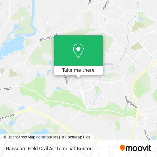
See Hanscom Field Civil Air Terminal, Boston, on the map
Public Transit to Hanscom Field Civil Air Terminal in Boston
Wondering how to get to Hanscom Field Civil Air Terminal in Boston? Moovit helps you find the best way to get to Hanscom Field Civil Air Terminal with step-by-step directions from the nearest public transit station.
Moovit provides free maps and live directions to help you navigate through your city. View schedules, routes, timetables, and find out how long does it take to get to Hanscom Field Civil Air Terminal in real time.
Looking for the nearest stop or station to Hanscom Field Civil Air Terminal? Check out this list of stops closest to your destination: Hanscom Field Dr @ Old Bedford Rd.
Bus: 62/76, 76.
Want to see if there’s another route that gets you there at an earlier time? Moovit helps you find alternative routes or times. Get directions from and directions to Hanscom Field Civil Air Terminal easily from the Moovit App or Website.
We make riding to Hanscom Field Civil Air Terminal easy, which is why over 1.7 million users, including users in Boston, trust Moovit as the best app for public transit. You don’t need to download an individual bus app or train app, Moovit is your all-in-one transit app that helps you find the best bus time or train time available.
For information on prices of bus, subway and train, costs and ride fares to Hanscom Field Civil Air Terminal, please check the Moovit app.
Use the app to navigate to popular places including to the airport, hospital, stadium, grocery store, mall, coffee shop, school, college, and university.
Hanscom Field Civil Air Terminal Address: 200 Hanscom Dr Bedford, MA 01730 street in Boston
- Dunkin',
- Hanscom Field,
- Signature Flight Support,
- Air Culinaire Worldwide,
- Liberty Mutual,
- D A Zeskind & Assoc,
- Algonquin Aviation,
- Dunkin' Donuts,
- Commissary,
- Hanscom AFB Auto Hobby Shop,
- Brighton Marine Health Center (US Family Health Plan),
- Hanscom AFB-Vandenberg Gate,
- Draper Lab,
- AWACS (Bldg 1612),
- Hanscom Air Force Base (Hanscom AFB),
- Hanscom Air Force Base,
- Studio of Craig Elliott,
- Hanscom Afb Chapel,
- Plumbers Near Me,
- Kyung Min Chung DMD
Places Near Hanscom Field Civil Air Terminal (Boston)
- Leader Bank Pavilion (Leader Bank Pavillion), Boston,
- House Of Blues, Boston,
- Cheers, Boston,
- Td Garden, Boston,
- Mgm Music Hall, Boston,
- Museum Of Science, Boston,
- Castle Island, Boston,
- Massachusetts General Hospital, Boston,
- North End, Boston,
- Isabella Stewart Gardner Museum, Boston,
- Wang Theater, Boston,
- Faneuil Hall, Boston,
- Boston Medical Center, Boston,
- Boston Children's Hospital, Boston,
- Boston Convention & Exhibition Center, Boston,
- Wilbur Theatre, Boston,
- Seaport District, Boston,
- Quincy Market, Boston,
- Prudential Center, Boston,
- Boston Common, Boston
How to get to popular places in Boston with public transit
Get around Boston by public transit!
Traveling around Boston has never been so easy. See step by step directions as you travel to any attraction, street or major public transit station. View bus and train schedules, arrival times, service alerts and detailed routes on a map, so you know exactly how to get to anywhere in Boston.
When traveling to any destination around Boston use Moovit's Live Directions with Get Off Notifications to know exactly where and how far to walk, how long to wait for your line, and how many stops are left. Moovit will alert you when it's time to get off — no need to constantly re-check whether yours is the next stop.
Wondering how to use public transit in Boston or how to pay for public transit in Boston? Moovit public transit app can help you navigate your way with public transit easily, and at minimum cost. It includes public transit fees, ticket prices, and costs. Looking for a map of Boston public transit lines? Moovit public transit app shows all public transit maps in Boston with all Bus, Train, Subway and Ferry routes and stops on an interactive map.
Boston has 4 transit type(s), including: Bus, Train, Subway and Ferry, operated by several transit agencies, including MBTA, Southeastern Regional Transit Authority, MetroWest Regional Transit Authority, Rhode Island Public Transit Authority, WRTA, Lowell Regional Transit Authority, Merrimack Valley Transit, Montachusett Regional Transit Authority, Cape Cod Regional Transit Authority, Brockton Area Transit Authority, Martha's Vineyard Transit Authority, the WAVE - Nantucket Regional Transit Authority, GATRA, Cape Ann Transportation Authority and Massport