Directions to Happy Half-Pints Family Childcare (Leominster) with public transportation
The following transit lines have routes that pass near Happy Half-Pints Family Childcare
 Bus: 9.
How to get to Happy Half-Pints Family Childcare by bus?
Click on the bus route to see step by step directions with maps, line arrival times and updated time schedules.
Bus stop near Happy Half-Pints Family Childcare in Leominster
- Johnny Appleseed Plaza, Leominster, 9 min walk,VIEW
Bus lines to Happy Half-Pints Family Childcare in Leominster
- 9, Orchard Hill Park - Target, Leominster,VIEW
What are the closest stations to Happy Half-Pints Family Childcare?
The closest stations to Happy Half-Pints Family Childcare are:
- Johnny Appleseed Plaza, Leominster is 744 yards away, 9 min walk.
Which bus line stops near Happy Half-Pints Family Childcare?
9 (Monument Square Main Street, Leominster→Monument Square West Street, Leominster)
What’s the nearest bus station to Happy Half-Pints Family Childcare in Leominster?
The nearest bus station to Happy Half-Pints Family Childcare in Leominster is Johnny Appleseed Plaza, Leominster. It’s a 9 min walk away.
What time is the first bus to Happy Half-Pints Family Childcare in Leominster?
The 9 is the first bus that goes to Happy Half-Pints Family Childcare in Leominster. It stops nearby at 5:45 AM.
What time is the last bus to Happy Half-Pints Family Childcare in Leominster?
The 9 is the last bus that goes to Happy Half-Pints Family Childcare in Leominster. It stops nearby at 6:20 PM.
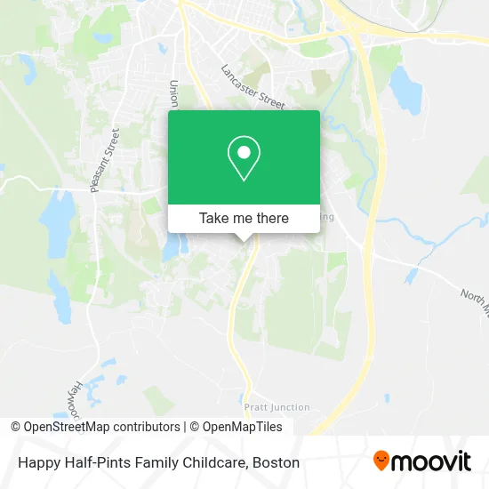
See Happy Half-Pints Family Childcare, Leominster, on the map
Public Transit to Happy Half-Pints Family Childcare in Leominster
Wondering how to get to Happy Half-Pints Family Childcare in Leominster? Moovit helps you find the best way to get to Happy Half-Pints Family Childcare with step-by-step directions from the nearest public transit station.
Moovit provides free maps and live directions to help you navigate through your city. View schedules, routes, timetables, and find out how long does it take to get to Happy Half-Pints Family Childcare in real time.
Looking for the nearest stop or station to Happy Half-Pints Family Childcare? Check out this list of stops closest to your destination: Johnny Appleseed Plaza.
Bus: 9.
Want to see if there’s another route that gets you there at an earlier time? Moovit helps you find alternative routes or times. Get directions from and directions to Happy Half-Pints Family Childcare easily from the Moovit App or Website.
We make riding to Happy Half-Pints Family Childcare easy, which is why over 1.7 million users, including users in Leominster, trust Moovit as the best app for public transit. You don’t need to download an individual bus app or train app, Moovit is your all-in-one transit app that helps you find the best bus time or train time available.
For information on prices of bus, costs and ride fares to Happy Half-Pints Family Childcare, please check the Moovit app.
Use the app to navigate to popular places including to the airport, hospital, stadium, grocery store, mall, coffee shop, school, college, and university.
Location: Leominster, Boston
- Lanza Auto,
- Dipilla Dominick,
- J&L Real Estate Group,
- Timeless Ink and Piercing Studio,
- Budget,
- Brazilian Bites,
- Carlin Charron & Rosen,
- Robust Cafe,
- Thrailkill,
- D'Errico's Market,
- Styletech Company,
- Sensor Hardware,
- F&M Tool & die,
- Digby Distributors,
- Athletic Revolution Leominster,
- Mark Meszaros Dentistry,
- John Keefe, Results Realty,
- Urban Beauty Studio,
- Healing Touch by CLS,
- Creative Print Products
Places Near Happy Half-Pints Family Childcare (Leominster)
- Wang Theater, Boston,
- Boston Children's Hospital, Boston,
- Seaport District, Boston,
- Faneuil Hall, Boston,
- Cheers, Boston,
- Massachusetts General Hospital, Boston,
- Td Garden, Boston,
- Boston Common, Boston,
- Museum Of Science, Boston,
- Isabella Stewart Gardner Museum, Boston,
- North End, Boston,
- Mgm Music Hall, Boston,
- Wilbur Theatre, Boston,
- House Of Blues, Boston,
- Boston Convention & Exhibition Center, Boston,
- Boston Medical Center, Boston,
- Castle Island, Boston,
- Quincy Market, Boston,
- Prudential Center, Boston,
- Leader Bank Pavilion (Leader Bank Pavillion), Boston
How to get to popular places in Boston with public transit
Get around Leominster by public transit!
Traveling around Leominster has never been so easy. See step by step directions as you travel to any attraction, street or major public transit station. View bus and train schedules, arrival times, service alerts and detailed routes on a map, so you know exactly how to get to anywhere in Leominster.
When traveling to any destination around Leominster use Moovit's Live Directions with Get Off Notifications to know exactly where and how far to walk, how long to wait for your line, and how many stops are left. Moovit will alert you when it's time to get off — no need to constantly re-check whether yours is the next stop.
Wondering how to use public transit in Leominster or how to pay for public transit in Leominster? Moovit public transit app can help you navigate your way with public transit easily, and at minimum cost. It includes public transit fees, ticket prices, and costs. Looking for a map of Leominster public transit lines? Moovit public transit app shows all public transit maps in Leominster with all Bus, Train, Subway and Ferry routes and stops on an interactive map.
Boston has 4 transit type(s), including: Bus, Train, Subway and Ferry, operated by several transit agencies, including MBTA, Southeastern Regional Transit Authority, MetroWest Regional Transit Authority, Rhode Island Public Transit Authority, WRTA, Lowell Regional Transit Authority, Merrimack Valley Transit, Montachusett Regional Transit Authority, Cape Cod Regional Transit Authority, Brockton Area Transit Authority, Martha's Vineyard Transit Authority, the WAVE - Nantucket Regional Transit Authority, GATRA, Cape Ann Transportation Authority and Massport