How to get to Hayder S. by bus?
Click on the bus route to see step by step directions with maps, line arrival times and updated time schedules.
From Phillips Academy Andover, Andover
90 minFrom Rockingham Mall Salem New Hampshire, Lawrence
41 minFrom Lawrence, Massachusetts, Lawrence
40 minFrom Lawrence, MA, Lawrence
41 minFrom Andover, MA, Andover
84 minFrom Parque de las ardillas, Lawrence
39 minFrom QRD, Methuen Town
56 minFrom Methuen, Methuen Town
58 min
How to get to Hayder S. by train?
Click on the train route to see step by step directions with maps, line arrival times and updated time schedules.
Bus stops near Hayder S. in Haverhill
Bus lines to Hayder S. in Haverhill
- 16, Westgate Plaza,VIEW
- 13, Stateline Plaza (T.J. Maxx),VIEW
- 18, Rivers Edge Plaza,VIEW
- 14, Washington Square Transit Center,VIEW
- HAVERHILL LINE SHUTTLE, Haverhill - Andover,VIEW
- HAVERHILL LINE SHUTTLE, Haverhill - Reading (Express),VIEW
- HAVERHILL LINE SHUTTLE, Haverhill - Reading (Local),VIEW
- HAVERHILL LINE SHUTTLE, Haverhill - Bradford,VIEW
- HAVERHILL LINE SHUTTLE, Haverhill - Malden Center,VIEW
- HAVERHILL LINE SHUTTLE, Haverhill - North Station,VIEW
- 11, Pond Street - Cvs,VIEW
- 15, Haverhill Commons,VIEW
- 1, Washington Square Transit Center,VIEW
- 17, Salisbury Beach,VIEW
What are the closest stations to Hayder S.?
The closest stations to Hayder S. are:
- High Street & Essex Street is 107 yards away, 2 min walk.
- 191 Merrimack Street - Bank Of America is 269 yards away, 4 min walk.
- Elliot Place is 281 yards away, 4 min walk.
- Haverhill is 341 yards away, 6 min walk.
- Washington Square is 357 yards away, 5 min walk.
- Washington Square Transit Center is 374 yards away, 5 min walk.
- Bradford is 1470 yards away, 18 min walk.
Which bus lines stop near Hayder S.?
These bus lines stop near Hayder S.: 1, 11, 14.
Which train line stops near Hayder S.?
HAVERHILL (#223 | Haverhill)
What’s the nearest train station to Hayder S. in Haverhill?
The nearest train station to Hayder S. in Haverhill is Bradford. It’s a 18 min walk away.
What’s the nearest bus station to Hayder S. in Haverhill?
The nearest bus station to Hayder S. in Haverhill is High Street & Essex Street. It’s a 2 min walk away.
What time is the first train to Hayder S. in Haverhill?
The HAVERHILL is the first train that goes to Hayder S. in Haverhill. It stops nearby at 5:27 AM.
What time is the last train to Hayder S. in Haverhill?
The HAVERHILL is the last train that goes to Hayder S. in Haverhill. It stops nearby at 12:53 AM.
What time is the first bus to Hayder S. in Haverhill?
The 1 is the first bus that goes to Hayder S. in Haverhill. It stops nearby at 5:00 AM.
What time is the last bus to Hayder S. in Haverhill?
The 1 is the last bus that goes to Hayder S. in Haverhill. It stops nearby at 9:45 PM.
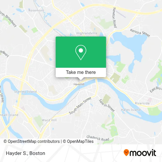
See Hayder S., Haverhill, on the map
Public Transit to Hayder S. in Haverhill
Wondering how to get to Hayder S. in Haverhill? Moovit helps you find the best way to get to Hayder S. with step-by-step directions from the nearest public transit station.
Moovit provides free maps and live directions to help you navigate through your city. View schedules, routes, timetables, and find out how long does it take to get to Hayder S. in real time.
Looking for the nearest stop or station to Hayder S.? Check out this list of stops closest to your destination: High Street & Essex Street; 191 Merrimack Street - Bank Of America; Elliot Place; Haverhill; Washington Square; Washington Square Transit Center; Bradford.
Bus: 1, 11, 14, 16, 13, 18, 15.Train: HAVERHILL, DOWNEASTER.
Want to see if there’s another route that gets you there at an earlier time? Moovit helps you find alternative routes or times. Get directions from and directions to Hayder S. easily from the Moovit App or Website.
We make riding to Hayder S. easy, which is why over 1.7 million users, including users in Haverhill, trust Moovit as the best app for public transit. You don’t need to download an individual bus app or train app, Moovit is your all-in-one transit app that helps you find the best bus time or train time available.
For information on prices of bus and train, costs and ride fares to Hayder S., please check the Moovit app.
Use the app to navigate to popular places including to the airport, hospital, stadium, grocery store, mall, coffee shop, school, college, and university.
Hayder S. Address: 62 Wingate st street in Haverhill
- Vinfen Wingate Residence,
- Hair by Caitlin at Mizan,
- Hummingbird Nutritious Eats,
- The Granville,
- Garage Door Repair Haverhill,
- Salonmii2.0,
- Alicia Studio 13,
- Marchand Claire Attorney,
- Daniel Chansky Property Management,
- Life Science Exhibits,
- Diane Riopelle,
- Ascent Consulting,
- The Arc of Greater Haverhill-Newburyport, Inc.,
- Burn It Fitness Kickboxing,
- Sima Tailoring,
- Psychic World,
- 80 Wingate St / Bragg Block,
- Hannah Dustin Health Care Center,
- Ar Tobacco,
- Whittier Healthcare
Places Near Hayder S. (Haverhill)
- Cheers, Boston,
- Boston Medical Center, Boston,
- Boston Common, Boston,
- Prudential Center, Boston,
- Leader Bank Pavilion (Leader Bank Pavillion), Boston,
- Quincy Market, Boston,
- Boston Convention & Exhibition Center, Boston,
- Td Garden, Boston,
- Boston Children's Hospital, Boston,
- Castle Island, Boston,
- Mgm Music Hall, Boston,
- Seaport District, Boston,
- Museum Of Science, Boston,
- Isabella Stewart Gardner Museum, Boston,
- Wang Theater, Boston,
- North End, Boston,
- Faneuil Hall, Boston,
- House Of Blues, Boston,
- Wilbur Theatre, Boston,
- Massachusetts General Hospital, Boston
How to get to popular places in Boston with public transit
Get around Haverhill by public transit!
Traveling around Haverhill has never been so easy. See step by step directions as you travel to any attraction, street or major public transit station. View bus and train schedules, arrival times, service alerts and detailed routes on a map, so you know exactly how to get to anywhere in Haverhill.
When traveling to any destination around Haverhill use Moovit's Live Directions with Get Off Notifications to know exactly where and how far to walk, how long to wait for your line, and how many stops are left. Moovit will alert you when it's time to get off — no need to constantly re-check whether yours is the next stop.
Wondering how to use public transit in Haverhill or how to pay for public transit in Haverhill? Moovit public transit app can help you navigate your way with public transit easily, and at minimum cost. It includes public transit fees, ticket prices, and costs. Looking for a map of Haverhill public transit lines? Moovit public transit app shows all public transit maps in Haverhill with all Bus, Train, Subway and Ferry routes and stops on an interactive map.
Boston has 4 transit type(s), including: Bus, Train, Subway and Ferry, operated by several transit agencies, including MBTA, Southeastern Regional Transit Authority, MetroWest Regional Transit Authority, Rhode Island Public Transit Authority, WRTA, Lowell Regional Transit Authority, Merrimack Valley Transit, Montachusett Regional Transit Authority, Cape Cod Regional Transit Authority, Brockton Area Transit Authority, Martha's Vineyard Transit Authority, the WAVE - Nantucket Regional Transit Authority, GATRA, Cape Ann Transportation Authority and Massport