How to get to Hill Top Farms by bus?
Click on the bus route to see step by step directions with maps, line arrival times and updated time schedules.
From Polar Park, Worcester
176 minFrom South High Community School, Worcester
265 minFrom Palladium, Worcester
179 minFrom Dcu Center, Worcester
176 minFrom Gardner, MA, Gardner
210 minFrom Foxwoods, Worcester
198 minFrom Worcester, MA, Worcester
174 minFrom Registry Of Motor Vehicles (Rmv) Branch Office, Worcester
178 min
Bus stop near Hill Top Farms in Boston
- Dickinson Farm Road (S), 11 min walk,VIEW
Bus lines to Hill Top Farms in Boston
- 38NS, Umass Via Olympia Drive,VIEW
What are the closest stations to Hill Top Farms?
The closest stations to Hill Top Farms are:
- Dickinson Farm Road (S) is 862 yards away, 11 min walk.
Which bus lines stop near Hill Top Farms?
These bus lines stop near Hill Top Farms: 38NS, PETER PAN.
What’s the nearest bus station to Hill Top Farms in Boston?
The nearest bus station to Hill Top Farms in Boston is Dickinson Farm Road (S). It’s a 11 min walk away.
What time is the first bus to Hill Top Farms in Boston?
The 38NS is the first bus that goes to Hill Top Farms in Boston. It stops nearby at 8:01 AM.
What time is the last bus to Hill Top Farms in Boston?
The 38NS is the last bus that goes to Hill Top Farms in Boston. It stops nearby at 7:18 PM.
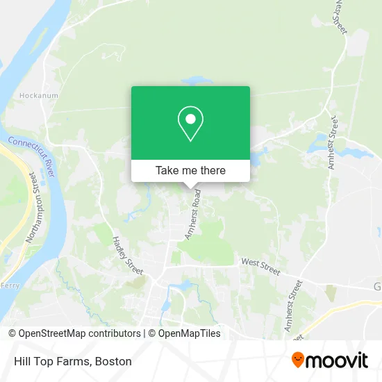
See Hill Top Farms, Boston, on the map
Public Transit to Hill Top Farms in Boston
Wondering how to get to Hill Top Farms in Boston? Moovit helps you find the best way to get to Hill Top Farms with step-by-step directions from the nearest public transit station.
Moovit provides free maps and live directions to help you navigate through your city. View schedules, routes, timetables, and find out how long does it take to get to Hill Top Farms in real time.
Looking for the nearest stop or station to Hill Top Farms? Check out this list of stops closest to your destination: Dickinson Farm Road (S).
Bus: 38NS, PETER PAN.
Want to see if there’s another route that gets you there at an earlier time? Moovit helps you find alternative routes or times. Get directions from and directions to Hill Top Farms easily from the Moovit App or Website.
We make riding to Hill Top Farms easy, which is why over 1.7 million users, including users in Boston, trust Moovit as the best app for public transit. You don’t need to download an individual bus app or train app, Moovit is your all-in-one transit app that helps you find the best bus time or train time available.
For information on prices of bus, costs and ride fares to Hill Top Farms, please check the Moovit app.
Use the app to navigate to popular places including to the airport, hospital, stadium, grocery store, mall, coffee shop, school, college, and university.
Hill Top Farms Address: 274 Amherst Rd street in Boston
- Camp Lewis Perkins,
- South Hadley Swim Club,
- Mount Holyoke Summit,
- Moody Corner,
- Woodbridge Street Historic District,
- Ideal Paper Co.,
- Conservation Land,
- Batchelor Brook Area,
- Fermata Home Services,
- Berkshire Hills Music Academy,
- Bachelor Brook Reservoir,
- Quenneville Dam,
- Joseph Skinner Museum,
- Lower Lake,
- Hawkins Bird Sanctuary,
- South Hadley-District 2,
- South Hadley Fire District 2,
- Homes by Leblanc,
- Kendall Sports And Dance Complex,
- Mount Holyoke College Tennis Courts
Places Near Hill Top Farms (Boston)
- Mgm Music Hall, Boston,
- Boston Children's Hospital, Boston,
- Isabella Stewart Gardner Museum, Boston,
- Boston Common, Boston,
- Wilbur Theatre, Boston,
- House Of Blues, Boston,
- Boston Convention & Exhibition Center, Boston,
- Massachusetts General Hospital, Boston,
- Wang Theater, Boston,
- Museum Of Science, Boston,
- Seaport District, Boston,
- Prudential Center, Boston,
- Leader Bank Pavilion (Leader Bank Pavillion), Boston,
- Quincy Market, Boston,
- Boston Medical Center, Boston,
- Castle Island, Boston,
- Cheers, Boston,
- Faneuil Hall, Boston,
- North End, Boston,
- Td Garden, Boston
How to get to popular places in Boston with public transit
Get around Boston by public transit!
Traveling around Boston has never been so easy. See step by step directions as you travel to any attraction, street or major public transit station. View bus and train schedules, arrival times, service alerts and detailed routes on a map, so you know exactly how to get to anywhere in Boston.
When traveling to any destination around Boston use Moovit's Live Directions with Get Off Notifications to know exactly where and how far to walk, how long to wait for your line, and how many stops are left. Moovit will alert you when it's time to get off — no need to constantly re-check whether yours is the next stop.
Wondering how to use public transit in Boston or how to pay for public transit in Boston? Moovit public transit app can help you navigate your way with public transit easily, and at minimum cost. It includes public transit fees, ticket prices, and costs. Looking for a map of Boston public transit lines? Moovit public transit app shows all public transit maps in Boston with all Bus, Train, Subway and Ferry routes and stops on an interactive map.
Boston has 4 transit type(s), including: Bus, Train, Subway and Ferry, operated by several transit agencies, including MBTA, Southeastern Regional Transit Authority, MetroWest Regional Transit Authority, Rhode Island Public Transit Authority, WRTA, Lowell Regional Transit Authority, Merrimack Valley Transit, Montachusett Regional Transit Authority, Cape Cod Regional Transit Authority, Brockton Area Transit Authority, Martha's Vineyard Transit Authority, the WAVE - Nantucket Regional Transit Authority, GATRA, Cape Ann Transportation Authority and Massport