How to get to Hope Church by bus?
Click on the bus route to see step by step directions with maps, line arrival times and updated time schedules.
Bus stops near Hope Church in Boston
What are the closest stations to Hope Church?
The closest stations to Hope Church are:
- 2838 Pawtucket Ave is 274 yards away, 4 min walk.
- Wampanoag After Pawtucket is 512 yards away, 6 min walk.
Which bus lines stop near Hope Church?
These bus lines stop near Hope Church: 32, 33.
What’s the nearest bus station to Hope Church in Boston?
The nearest bus station to Hope Church in Boston is 2838 Pawtucket Ave. It’s a 4 min walk away.
What time is the first bus to Hope Church in Boston?
The 33 is the first bus that goes to Hope Church in Boston. It stops nearby at 5:35 AM.
What time is the last bus to Hope Church in Boston?
The 33 is the last bus that goes to Hope Church in Boston. It stops nearby at 9:24 PM.
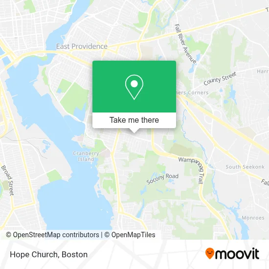
See Hope Church, Boston, on the map
Public Transit to Hope Church in Boston
Wondering how to get to Hope Church in Boston? Moovit helps you find the best way to get to Hope Church with step-by-step directions from the nearest public transit station.
Moovit provides free maps and live directions to help you navigate through your city. View schedules, routes, timetables, and find out how long does it take to get to Hope Church in real time.
Looking for the nearest stop or station to Hope Church? Check out this list of stops closest to your destination: 2838 Pawtucket Ave; Wampanoag After Pawtucket.
Bus: 32, 33.
Want to see if there’s another route that gets you there at an earlier time? Moovit helps you find alternative routes or times. Get directions from and directions to Hope Church easily from the Moovit App or Website.
We make riding to Hope Church easy, which is why over 1.7 million users, including users in Boston, trust Moovit as the best app for public transit. You don’t need to download an individual bus app or train app, Moovit is your all-in-one transit app that helps you find the best bus time or train time available.
For information on prices of bus and train, costs and ride fares to Hope Church, please check the Moovit app.
Use the app to navigate to popular places including to the airport, hospital, stadium, grocery store, mall, coffee shop, school, college, and university.
Hope Church Address: 120 Wampanoag Trl street in Boston
- Island Health and Rehab,
- East Providence Central LL,
- Joe Botelho, Realtor,
- Pink and Green Lady Estate Sales,
- Bella Vita Adult Day Program,
- Beverly Frank,
- Harbor One Credit Union,
- Dust Bunnies Cleaning,
- Amazon Locker-Viability,
- Elite Commercial Realty,
- Mernan Andrea, MD,
- Michael P Vignogna, MD,
- Advanced Dentistry of,
- 225 E Shore Cir,
- Coin Cloud Bitcoin ATM,
- 24 7 Emerg Locksmith,
- Taste of Island,
- Kaotic Ink Tattoo & Piercing Studio,
- Waves of Healing Wellness Boutique,
- Pace Organization of Rhode Island
Places Near Hope Church (Boston)
- Leader Bank Pavilion (Leader Bank Pavillion), Boston,
- Prudential Center, Boston,
- Faneuil Hall, Boston,
- Quincy Market, Boston,
- Td Garden, Boston,
- Cheers, Boston,
- Mgm Music Hall, Boston,
- Wang Theater, Boston,
- Boston Convention & Exhibition Center, Boston,
- Massachusetts General Hospital, Boston,
- Isabella Stewart Gardner Museum, Boston,
- Boston Children's Hospital, Boston,
- Wilbur Theatre, Boston,
- North End, Boston,
- House Of Blues, Boston,
- Museum Of Science, Boston,
- Boston Medical Center, Boston,
- Boston Common, Boston,
- Castle Island, Boston,
- Seaport District, Boston
How to get to popular places in Boston with public transit
Get around Boston by public transit!
Traveling around Boston has never been so easy. See step by step directions as you travel to any attraction, street or major public transit station. View bus and train schedules, arrival times, service alerts and detailed routes on a map, so you know exactly how to get to anywhere in Boston.
When traveling to any destination around Boston use Moovit's Live Directions with Get Off Notifications to know exactly where and how far to walk, how long to wait for your line, and how many stops are left. Moovit will alert you when it's time to get off — no need to constantly re-check whether yours is the next stop.
Wondering how to use public transit in Boston or how to pay for public transit in Boston? Moovit public transit app can help you navigate your way with public transit easily, and at minimum cost. It includes public transit fees, ticket prices, and costs. Looking for a map of Boston public transit lines? Moovit public transit app shows all public transit maps in Boston with all Bus, Train, Subway and Ferry routes and stops on an interactive map.
Boston has 4 transit type(s), including: Bus, Train, Subway and Ferry, operated by several transit agencies, including MBTA, Southeastern Regional Transit Authority, MetroWest Regional Transit Authority, Rhode Island Public Transit Authority, WRTA, Lowell Regional Transit Authority, Merrimack Valley Transit, Montachusett Regional Transit Authority, Cape Cod Regional Transit Authority, Brockton Area Transit Authority, Martha's Vineyard Transit Authority, the WAVE - Nantucket Regional Transit Authority, GATRA, Cape Ann Transportation Authority and Massport