Directions to Hunter Foss Design Printing & Marketing (Worcester) with public transportation
The following transit lines have routes that pass near Hunter Foss Design Printing & Marketing
 Bus: 15, 16, 24, GREYHOUND US0230, CLINTON-WORCESTER COMMUTER SHUTTLE.
How to get to Hunter Foss Design Printing & Marketing by bus?
Click on the bus route to see step by step directions with maps, line arrival times and updated time schedules.
Bus stops near Hunter Foss Design Printing & Marketing in Worcester
Bus lines to Hunter Foss Design Printing & Marketing in Worcester
What are the closest stations to Hunter Foss Design Printing & Marketing?
The closest stations to Hunter Foss Design Printing & Marketing are:
- Worc Recov Ctr is 108 yards away, 2 min walk.
- Plantation + Plantation Towers is 492 yards away, 6 min walk.
- U-Mass Medical is 1028 yards away, 12 min walk.
- Umass Medical Center is 1033 yards away, 13 min walk.
Which bus lines stop near Hunter Foss Design Printing & Marketing?
These bus lines stop near Hunter Foss Design Printing & Marketing: 15, 16, 24, GREYHOUND US0230.
What’s the nearest bus station to Hunter Foss Design Printing & Marketing in Worcester?
The nearest bus station to Hunter Foss Design Printing & Marketing in Worcester is Worc Recov Ctr. It’s a 2 min walk away.
What time is the first bus to Hunter Foss Design Printing & Marketing in Worcester?
The 15 is the first bus that goes to Hunter Foss Design Printing & Marketing in Worcester. It stops nearby at 5:27 AM.
What time is the last bus to Hunter Foss Design Printing & Marketing in Worcester?
The 16 is the last bus that goes to Hunter Foss Design Printing & Marketing in Worcester. It stops nearby at 10:06 PM.
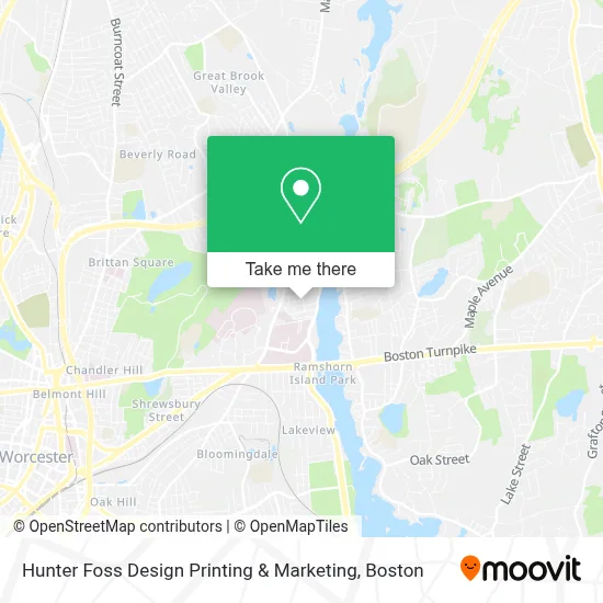
See Hunter Foss Design Printing & Marketing, Worcester, on the map
Public Transit to Hunter Foss Design Printing & Marketing in Worcester
Wondering how to get to Hunter Foss Design Printing & Marketing in Worcester? Moovit helps you find the best way to get to Hunter Foss Design Printing & Marketing with step-by-step directions from the nearest public transit station.
Moovit provides free maps and live directions to help you navigate through your city. View schedules, routes, timetables, and find out how long does it take to get to Hunter Foss Design Printing & Marketing in real time.
Looking for the nearest stop or station to Hunter Foss Design Printing & Marketing? Check out this list of stops closest to your destination: Worc Recov Ctr; Plantation + Plantation Towers; U-Mass Medical; Umass Medical Center.
Bus: 15, 16, 24, GREYHOUND US0230, CLINTON-WORCESTER COMMUTER SHUTTLE.
Want to see if there’s another route that gets you there at an earlier time? Moovit helps you find alternative routes or times. Get directions from and directions to Hunter Foss Design Printing & Marketing easily from the Moovit App or Website.
We make riding to Hunter Foss Design Printing & Marketing easy, which is why over 1.7 million users, including users in Worcester, trust Moovit as the best app for public transit. You don’t need to download an individual bus app or train app, Moovit is your all-in-one transit app that helps you find the best bus time or train time available.
For information on prices of bus and train, costs and ride fares to Hunter Foss Design Printing & Marketing, please check the Moovit app.
Use the app to navigate to popular places including to the airport, hospital, stadium, grocery store, mall, coffee shop, school, college, and university.
Hunter Foss Design Printing & Marketing Address: 9 Ansonia Rd street in Worcester
- Hunter Foss Corporate Graphic Designer & Graphic Artist,
- Speedy Mini Mart,
- Cardiovascualr Medical Department,
- Downey, Megan E,
- Ellen Sharenow PHD,
- ChargePoint,
- Weaver John MD,
- Univ of Ma Med Center Bookstore,
- Adult Endocrinology Dept,
- Daniel H Libraty,
- Dr Thomas Goss Doctor of Medicine,
- Wertheimer Michael,
- Mira Torres MD,
- Wynford Brome,
- Mordes John,
- Judith Ockene MD,
- Muscular Dystrophy Association,
- Umass Memorial Medical Center Heart and Vascular Center,
- U-Mass Memorial Health Care Systems,
- Worcester Donor Center
Places Near Hunter Foss Design Printing & Marketing (Worcester)
- House Of Blues, Boston,
- Prudential Center, Boston,
- Wang Theater, Boston,
- Boston Convention & Exhibition Center, Boston,
- Wilbur Theatre, Boston,
- Boston Children's Hospital, Boston,
- North End, Boston,
- Boston Medical Center, Boston,
- Boston Common, Boston,
- Museum Of Science, Boston,
- Td Garden, Boston,
- Mgm Music Hall, Boston,
- Massachusetts General Hospital, Boston,
- Faneuil Hall, Boston,
- Seaport District, Boston,
- Quincy Market, Boston,
- Isabella Stewart Gardner Museum, Boston,
- Cheers, Boston,
- Leader Bank Pavilion (Leader Bank Pavillion), Boston,
- Castle Island, Boston
How to get to popular places in Boston with public transit
Get around Worcester by public transit!
Traveling around Worcester has never been so easy. See step by step directions as you travel to any attraction, street or major public transit station. View bus and train schedules, arrival times, service alerts and detailed routes on a map, so you know exactly how to get to anywhere in Worcester.
When traveling to any destination around Worcester use Moovit's Live Directions with Get Off Notifications to know exactly where and how far to walk, how long to wait for your line, and how many stops are left. Moovit will alert you when it's time to get off — no need to constantly re-check whether yours is the next stop.
Wondering how to use public transit in Worcester or how to pay for public transit in Worcester? Moovit public transit app can help you navigate your way with public transit easily, and at minimum cost. It includes public transit fees, ticket prices, and costs. Looking for a map of Worcester public transit lines? Moovit public transit app shows all public transit maps in Worcester with all Bus, Train, Subway and Ferry routes and stops on an interactive map.
Boston has 4 transit type(s), including: Bus, Train, Subway and Ferry, operated by several transit agencies, including MBTA, Southeastern Regional Transit Authority, MetroWest Regional Transit Authority, Rhode Island Public Transit Authority, WRTA, Lowell Regional Transit Authority, Merrimack Valley Transit, Montachusett Regional Transit Authority, Cape Cod Regional Transit Authority, Brockton Area Transit Authority, Martha's Vineyard Transit Authority, the WAVE - Nantucket Regional Transit Authority, GATRA, Cape Ann Transportation Authority and Massport