How to get to Ideal Outdoor Power by bus?
Click on the bus route to see step by step directions with maps, line arrival times and updated time schedules.
From Hanscom AFB, Hanscom Afb
160 minFrom Lahey Hospital & Medical Center, Burlington
78 minFrom Middlesex Superior Court, Woburn
99 minFrom Burlington, MA, Burlington
54 minFrom Lexington, MA, Lexington
148 minFrom Target, Lowell
84 minFrom AWACS (Bldg 1612), Hanscom Afb
161 minFrom 200 Trade Center, Woburn
99 min
Train station near Ideal Outdoor Power in Boston
- Wilmington, 63 min walk,VIEW
What are the closest stations to Ideal Outdoor Power?
The closest stations to Ideal Outdoor Power are:
- Wilmington is 5389 yards away, 63 min walk.
Which bus lines stop near Ideal Outdoor Power?
These bus lines stop near Ideal Outdoor Power: 12, 13.
What time is the first train to Ideal Outdoor Power in Boston?
The LOWELL is the first train that goes to Ideal Outdoor Power in Boston. It stops nearby at 5:16 AM.
What time is the last train to Ideal Outdoor Power in Boston?
The LOWELL is the last train that goes to Ideal Outdoor Power in Boston. It stops nearby at 12:11 AM.
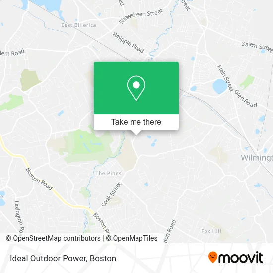
See Ideal Outdoor Power, Boston, on the map
Public Transit to Ideal Outdoor Power in Boston
Wondering how to get to Ideal Outdoor Power in Boston? Moovit helps you find the best way to get to Ideal Outdoor Power with step-by-step directions from the nearest public transit station.
Moovit provides free maps and live directions to help you navigate through your city. View schedules, routes, timetables, and find out how long does it take to get to Ideal Outdoor Power in real time.
Looking for the nearest stop or station to Ideal Outdoor Power? Check out this list of stops closest to your destination: Wilmington.
Bus: 12, 13.Train: LOWELL.
Want to see if there’s another route that gets you there at an earlier time? Moovit helps you find alternative routes or times. Get directions from and directions to Ideal Outdoor Power easily from the Moovit App or Website.
We make riding to Ideal Outdoor Power easy, which is why over 1.7 million users, including users in Boston, trust Moovit as the best app for public transit. You don’t need to download an individual bus app or train app, Moovit is your all-in-one transit app that helps you find the best bus time or train time available.
For information on prices of bus and train, costs and ride fares to Ideal Outdoor Power, please check the Moovit app.
Use the app to navigate to popular places including to the airport, hospital, stadium, grocery store, mall, coffee shop, school, college, and university.
Ideal Outdoor Power Address: 45 Alexander Rd street in Boston
- Shawsheen Valley Technical High School,
- Shawsheen Tech Football Field,
- 13,
- 15,
- 14,
- 11,
- The Pines, Massachusetts,
- Shawsheen River Aqueduct,
- Mercy Hands Human Services,
- John Paul's Csthedral + Glas Bar,
- RRR Excavation,
- Tumble Kids Billerica,
- Marshall Orchard Conservation Land,
- Green Acre Dr,
- West School House,
- JMM Construction,
- Wilmington Public Schools,
- Priority Law,
- Haroutunian Law Office,
- Schrute Farms Bed & Breakfast
Places Near Ideal Outdoor Power (Boston)
- Castle Island, Boston,
- Boston Common, Boston,
- Boston Medical Center, Boston,
- Seaport District, Boston,
- Quincy Market, Boston,
- Boston Children's Hospital, Boston,
- North End, Boston,
- Cheers, Boston,
- Mgm Music Hall, Boston,
- Wang Theater, Boston,
- Leader Bank Pavilion (Leader Bank Pavillion), Boston,
- Td Garden, Boston,
- Isabella Stewart Gardner Museum, Boston,
- House Of Blues, Boston,
- Massachusetts General Hospital, Boston,
- Museum Of Science, Boston,
- Boston Convention & Exhibition Center, Boston,
- Prudential Center, Boston,
- Wilbur Theatre, Boston,
- Faneuil Hall, Boston
How to get to popular places in Boston with public transit
Get around Boston by public transit!
Traveling around Boston has never been so easy. See step by step directions as you travel to any attraction, street or major public transit station. View bus and train schedules, arrival times, service alerts and detailed routes on a map, so you know exactly how to get to anywhere in Boston.
When traveling to any destination around Boston use Moovit's Live Directions with Get Off Notifications to know exactly where and how far to walk, how long to wait for your line, and how many stops are left. Moovit will alert you when it's time to get off — no need to constantly re-check whether yours is the next stop.
Wondering how to use public transit in Boston or how to pay for public transit in Boston? Moovit public transit app can help you navigate your way with public transit easily, and at minimum cost. It includes public transit fees, ticket prices, and costs. Looking for a map of Boston public transit lines? Moovit public transit app shows all public transit maps in Boston with all Bus, Train, Subway and Ferry routes and stops on an interactive map.
Boston has 4 transit type(s), including: Bus, Train, Subway and Ferry, operated by several transit agencies, including MBTA, Southeastern Regional Transit Authority, MetroWest Regional Transit Authority, Rhode Island Public Transit Authority, WRTA, Lowell Regional Transit Authority, Merrimack Valley Transit, Montachusett Regional Transit Authority, Cape Cod Regional Transit Authority, Brockton Area Transit Authority, Martha's Vineyard Transit Authority, the WAVE - Nantucket Regional Transit Authority, GATRA, Cape Ann Transportation Authority and Massport