Directions to Imagine Corps (Boston) with public transportation
The following transit lines have routes that pass near Imagine Corps
 Bus: 495C.
- Train: FRAMINGHAM/WORCESTER.
How to get to Imagine Corps by bus?
Click on the bus route to see step by step directions with maps, line arrival times and updated time schedules.
From Boston Scientific, Marlborough
83 minFrom Bose Corp, Framingham
92 minFrom Marlborough, MA, Marlborough
46 minFrom The TJX Companies Inc., Framingham
138 minFrom Staples Corporate HQ, Framingham
86 minFrom Milford, MA, Milford
111 minFrom Framingham, MA, Framingham
93 minFrom Route 9 East / West Framingham, Framingham
141 min
How to get to Imagine Corps by train?
Click on the train route to see step by step directions with maps, line arrival times and updated time schedules.
Train station near Imagine Corps in Boston
- Southborough, 14 min walk,VIEW
What are the closest stations to Imagine Corps?
The closest stations to Imagine Corps are:
- Southborough is 1130 yards away, 14 min walk.
Which bus line stops near Imagine Corps?
495C (Downtown Hudson→Milford Crossing)
Which train line stops near Imagine Corps?
FRAMINGHAM/WORCESTER (#525 | Worcester)
What’s the nearest train station to Imagine Corps in Boston?
The nearest train station to Imagine Corps in Boston is Southborough. It’s a 14 min walk away.
What time is the first train to Imagine Corps in Boston?
The FRAMINGHAM/WORCESTER is the first train that goes to Imagine Corps in Boston. It stops nearby at 4:40 AM.
What time is the last train to Imagine Corps in Boston?
The FRAMINGHAM/WORCESTER is the last train that goes to Imagine Corps in Boston. It stops nearby at 12:55 AM.
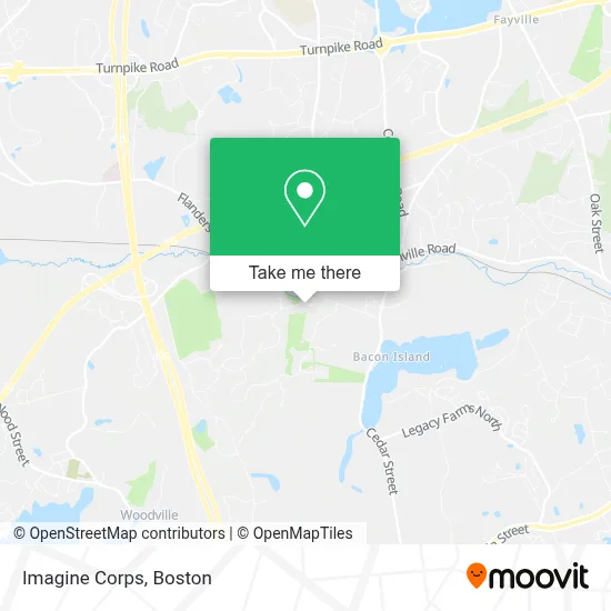
See Imagine Corps, Boston, on the map
Public Transit to Imagine Corps in Boston
Wondering how to get to Imagine Corps in Boston? Moovit helps you find the best way to get to Imagine Corps with step-by-step directions from the nearest public transit station.
Moovit provides free maps and live directions to help you navigate through your city. View schedules, routes, timetables, and find out how long does it take to get to Imagine Corps in real time.
Looking for the nearest stop or station to Imagine Corps? Check out this list of stops closest to your destination: Southborough.
Bus: 495C.Train: FRAMINGHAM/WORCESTER.
Want to see if there’s another route that gets you there at an earlier time? Moovit helps you find alternative routes or times. Get directions from and directions to Imagine Corps easily from the Moovit App or Website.
We make riding to Imagine Corps easy, which is why over 1.7 million users, including users in Boston, trust Moovit as the best app for public transit. You don’t need to download an individual bus app or train app, Moovit is your all-in-one transit app that helps you find the best bus time or train time available.
For information on prices of bus and train, costs and ride fares to Imagine Corps, please check the Moovit app.
Use the app to navigate to popular places including to the airport, hospital, stadium, grocery store, mall, coffee shop, school, college, and university.
Imagine Corps Address: 14 Highcroft Way street in Boston
- Hopkinton State Park,
- St Matthew's Office of Religious Education,
- Southborough Station MBTA,
- Southborough Commuter Rail Parking,
- MBTA Southborough Station,
- Southborough MBTA Station Meets Following Trains,
- TJX Companies,
- Madison Place,
- Mass Pike,
- Bulldog Fire Apparatus (Bull Dog Fire Apparts),
- Reed Park,
- St John Cemetery,
- Whitehall Conservation Area,
- Boston Athletic Association,
- Hopkinton, MA,
- Main St Door Unlocking,
- The Lagasse Group,
- Donna Spector-Donna and Steve Home Team - Metrowest, Hopkinton Ma,
- Bryan Brown at Guaranteed Rate NMLS,
- Rate
Places Near Imagine Corps (Boston)
- Wilbur Theatre, Boston,
- Faneuil Hall, Boston,
- Prudential Center, Boston,
- Wang Theater, Boston,
- Museum Of Science, Boston,
- Mgm Music Hall, Boston,
- Seaport District, Boston,
- Boston Children's Hospital, Boston,
- House Of Blues, Boston,
- Cheers, Boston,
- Castle Island, Boston,
- Boston Common, Boston,
- North End, Boston,
- Quincy Market, Boston,
- Isabella Stewart Gardner Museum, Boston,
- Boston Medical Center, Boston,
- Massachusetts General Hospital, Boston,
- Boston Convention & Exhibition Center, Boston,
- Td Garden, Boston,
- Leader Bank Pavilion (Leader Bank Pavillion), Boston
How to get to popular places in Boston with public transit
Get around Boston by public transit!
Traveling around Boston has never been so easy. See step by step directions as you travel to any attraction, street or major public transit station. View bus and train schedules, arrival times, service alerts and detailed routes on a map, so you know exactly how to get to anywhere in Boston.
When traveling to any destination around Boston use Moovit's Live Directions with Get Off Notifications to know exactly where and how far to walk, how long to wait for your line, and how many stops are left. Moovit will alert you when it's time to get off — no need to constantly re-check whether yours is the next stop.
Wondering how to use public transit in Boston or how to pay for public transit in Boston? Moovit public transit app can help you navigate your way with public transit easily, and at minimum cost. It includes public transit fees, ticket prices, and costs. Looking for a map of Boston public transit lines? Moovit public transit app shows all public transit maps in Boston with all Bus, Train, Subway and Ferry routes and stops on an interactive map.
Boston has 4 transit type(s), including: Bus, Train, Subway and Ferry, operated by several transit agencies, including MBTA, Southeastern Regional Transit Authority, MetroWest Regional Transit Authority, Rhode Island Public Transit Authority, WRTA, Lowell Regional Transit Authority, Merrimack Valley Transit, Montachusett Regional Transit Authority, Cape Cod Regional Transit Authority, Brockton Area Transit Authority, Martha's Vineyard Transit Authority, the WAVE - Nantucket Regional Transit Authority, GATRA, Cape Ann Transportation Authority and Massport