How to get to Implant Tracking Software by bus?
Click on the bus route to see step by step directions with maps, line arrival times and updated time schedules.
From Burton St SE & Forest Hills Ave SE, Kentwood
46 minFrom Funk Appraisals, Kentwood
35 minFrom John Michael Zona, DDS Add To Favorites, Kentwood
33 minFrom Avon Training Center, Become an Avon Representative, Make Money From Home, Wyoming
29 minFrom Skar Insurance Group, Walker
20 minFrom Mickelson Bruce A DDS, Walker
19 minFrom Chick-fil-A, Walker
30 minFrom Challenge Manufacturing, Walker
34 minFrom Realvesco Properties, Walker
21 minFrom Care Cardinal Kentwood, Kentwood
46 min
Bus stops near Implant Tracking Software in Grand Rapids
Train station near Implant Tracking Software in Grand Rapids
- Grand Rapids Vernon J. Ehlers Station, 47 min walk,VIEW
Bus lines to Implant Tracking Software in Grand Rapids
What are the closest stations to Implant Tracking Software?
The closest stations to Implant Tracking Software are:
- Fulton/Sheldon (Eb) is 186 yards away, 3 min walk.
- Fulton/Van Andel Arena (Eb) is 237 yards away, 3 min walk.
- Louis/Ottawa (Sb) is 297 yards away, 4 min walk.
- Cherry/Commerce (Eb) is 351 yards away, 5 min walk.
- Monroe/Louis Station (Nb) is 455 yards away, 6 min walk.
- Market/Fulton (Nb) is 511 yards away, 7 min walk.
- Grand Rapids Vernon J. Ehlers Station is 3957 yards away, 47 min walk.
Which bus lines stop near Implant Tracking Software?
These bus lines stop near Implant Tracking Software: 1, 2, 33, 45, 9.
What’s the nearest bus station to Implant Tracking Software in Grand Rapids?
The nearest bus stations to Implant Tracking Software in Grand Rapids are Fulton/Sheldon (Eb) and Fulton/Van Andel Arena (Eb). The closest one is a 3 min walk away.
What time is the first train to Implant Tracking Software in Grand Rapids?
The PERE MARQUETTE is the first train that goes to Implant Tracking Software in Grand Rapids. It stops nearby at 6:00 AM.
What time is the last train to Implant Tracking Software in Grand Rapids?
The PERE MARQUETTE is the last train that goes to Implant Tracking Software in Grand Rapids. It stops nearby at 11:34 PM.
What time is the first bus to Implant Tracking Software in Grand Rapids?
The 4 is the first bus that goes to Implant Tracking Software in Grand Rapids. It stops nearby at 4:46 AM.
What time is the last bus to Implant Tracking Software in Grand Rapids?
The 51 is the last bus that goes to Implant Tracking Software in Grand Rapids. It stops nearby at 12:09 AM.
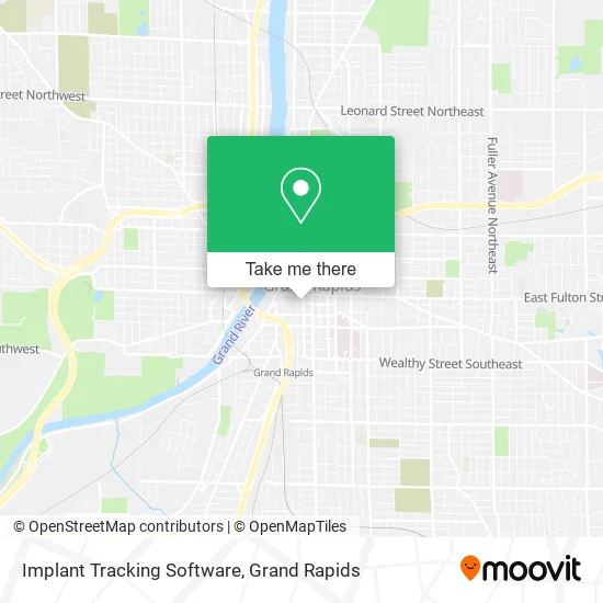
See Implant Tracking Software, Grand Rapids, on the map
Public Transit to Implant Tracking Software in Grand Rapids
Wondering how to get to Implant Tracking Software in Grand Rapids? Moovit helps you find the best way to get to Implant Tracking Software with step-by-step directions from the nearest public transit station.
Moovit provides free maps and live directions to help you navigate through your city. View schedules, routes, timetables, and find out how long does it take to get to Implant Tracking Software in real time.
Looking for the nearest stop or station to Implant Tracking Software? Check out this list of stops closest to your destination: Fulton/Sheldon (Eb); Fulton/Van Andel Arena (Eb); Louis/Ottawa (Sb); Cherry/Commerce (Eb); Monroe/Louis Station (Nb); Market/Fulton (Nb); Grand Rapids Vernon J. Ehlers Station.
Bus: 1, 2, 33, 45, 9, 14, 15, 6, 51, 4, 90.Train: PERE MARQUETTE.
Want to see if there’s another route that gets you there at an earlier time? Moovit helps you find alternative routes or times. Get directions from and directions to Implant Tracking Software easily from the Moovit App or Website.
We make riding to Implant Tracking Software easy, which is why over 1.5 million users, including users in Grand Rapids, trust Moovit as the best app for public transit. You don’t need to download an individual bus app or train app, Moovit is your all-in-one transit app that helps you find the best bus time or train time available.
For information on prices of bus, costs and ride fares to Implant Tracking Software, please check the Moovit app.
Use the app to navigate to popular places including to the airport, hospital, stadium, grocery store, mall, coffee shop, school, college, and university.
Implant Tracking Software Address: 25 Commerce Ave SW Grand Rapids, MI 49503 street in Grand Rapids
- 25 Commerce Ave SW Parking,
- Highbrook Townhomes,
- Floor It,
- Treadstone Mortgage,
- Lpit Solutions,
- Trillium Management,
- Amdg Architects,
- Ashbrook Apartments,
- Trackcore,
- Eagle's Nest,
- Kreativ Marketing,
- Grand Rapids Beer Trolley,
- Windborne Studios,
- Beacon Corner Bar,
- Greencup Digital,
- Organik Consulting,
- Gini - Global Innovation Institute,
- Commerce and Fulton ob,
- Universal Minds,
- Lambert
Places Near Implant Tracking Software (Grand Rapids)
- YMCA - David D. Hunting, Grand Rapids,
- Helel DeVos Children's Hospital Food Court, Grand Rapids,
- Spectrum Health Butterworth Hospital, Grand Rapids,
- Grand Rapids Community College, Grand Rapids,
- Kent County Courthouse, Grand Rapids,
- Union High School, Grand Rapids,
- Van Andel Arena-DeVos Place Skywalk, Grand Rapids,
- Spectrum Health-Blodgett Hospital, East Grand Rapids,
- Wyoming, Wyoming,
- Byron Center,
- Woodland Mall, Kentwood,
- University of Michigan Health Metro Health Hospital, Wyoming,
- Blodgett Hospital, East Grand Rapids,
- Metro Cascade,
- Hudsonville,
- Van Andel Arena, Grand Rapids,
- John Ball Zoo, Grand Rapids,
- Gerald R. Ford International Airport (GRR) (Gerald R. Ford International Airport),
- 68th Street Southwest, Grand Rapids,
- Frederik Meijer Gardens, Grand Rapids
How to get to popular places in Grand Rapids with public transit
Get around Grand Rapids by public transit!
Traveling around Grand Rapids has never been so easy. See step by step directions as you travel to any attraction, street or major public transit station. View bus and train schedules, arrival times, service alerts and detailed routes on a map, so you know exactly how to get to anywhere in Grand Rapids.
When traveling to any destination around Grand Rapids use Moovit's Live Directions with Get Off Notifications to know exactly where and how far to walk, how long to wait for your line, and how many stops are left. Moovit will alert you when it's time to get off — no need to constantly re-check whether yours is the next stop.
Wondering how to use public transit in Grand Rapids or how to pay for public transit in Grand Rapids? Moovit public transit app can help you navigate your way with public transit easily, and at minimum cost. It includes public transit fees, ticket prices, and costs. Looking for a map of Grand Rapids public transit lines? Moovit public transit app shows all public transit maps in Grand Rapids with all Bus and Train routes and stops on an interactive map.
Grand Rapids has 2 transit type(s), including: Bus and Train, operated by several transit agencies, including The Rapid, Amtrak and FlixBus-us