Bus stops near Indigo Martha's in Edgartown
Bus lines to Indigo Martha's in Edgartown
- Wicked Burger,
- Marthas Vineyard Social Justice Leadership Foundation,
- Soulcycle Martha's Vineyard,
- Griffin Hughes Wellness,
- Mvnaacp Foundation,
- Edgartown Park-and-Ride,
- Francois' Fine Tailoring & Alterations,
- Stop & Shop,
- Vineyard Backwater,
- Cook Construction Company,
- Clarion Inns,
- Lilikoi,
- Alex Morrison Landscaping,
- KeyMe,
- Harbor View Hotel,
- MV Tax Services / Liana Cajado,
- SRS- Grunden Pottery,
- Tenc Publishing,
- Galley Plumbing & Heating,
- Great Harbor Rental
Places Near Indigo Martha's (Edgartown)
- Boston Convention & Exhibition Center, Boston,
- Castle Island, Boston,
- Museum Of Science, Boston,
- Wilbur Theatre, Boston,
- Seaport District, Boston,
- Quincy Market, Boston,
- House Of Blues, Boston,
- Cheers, Boston,
- Prudential Center, Boston,
- Massachusetts General Hospital, Boston,
- Isabella Stewart Gardner Museum, Boston,
- Boston Common, Boston,
- Boston Children's Hospital, Boston,
- North End, Boston,
- Td Garden, Boston,
- Wang Theater, Boston,
- Faneuil Hall, Boston,
- Mgm Music Hall, Boston,
- Boston Medical Center, Boston,
- Leader Bank Pavilion (Leader Bank Pavillion), Boston
How to get to popular places in Boston with public transit
What are the closest stations to Indigo Martha's?
The closest stations to Indigo Martha's are:
- The Triangle Beach Road is 139 yards away, 2 min walk.
- West Tisbury Road is 547 yards away, 7 min walk.
- Edgartown Police Station is 755 yards away, 9 min walk.
Which bus line stops near Indigo Martha's?
13 (Vineyard Haven To Oak Bluffs To Edgartown)
What’s the nearest bus station to Indigo Martha's in Edgartown?
The nearest bus station to Indigo Martha's in Edgartown is The Triangle Beach Road. It’s a 2 min walk away.
What time is the first bus to Indigo Martha's in Edgartown?
The 1 is the first bus that goes to Indigo Martha's in Edgartown. It stops nearby at 6:11 AM.
What time is the last bus to Indigo Martha's in Edgartown?
The 1 is the last bus that goes to Indigo Martha's in Edgartown. It stops nearby at 11:13 PM.
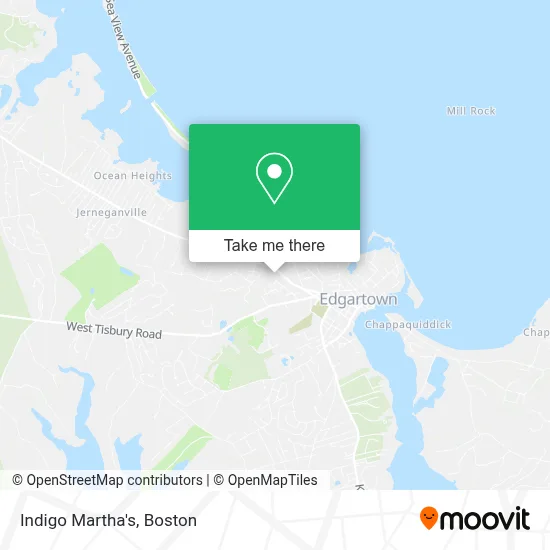
See Indigo Martha's, Edgartown, on the map
Public Transit to Indigo Martha's in Edgartown
Wondering how to get to Indigo Martha's in Edgartown? Moovit helps you find the best way to get to Indigo Martha's with step-by-step directions from the nearest public transit station.
Moovit provides free maps and live directions to help you navigate through your city. View schedules, routes, timetables, and find out how long does it take to get to Indigo Martha's in real time.
Looking for the nearest stop or station to Indigo Martha's? Check out this list of stops closest to your destination: The Triangle Beach Road; West Tisbury Road; Edgartown Police Station.
Bus: 13, 1, 8.
Want to see if there’s another route that gets you there at an earlier time? Moovit helps you find alternative routes or times. Get directions from and directions to Indigo Martha's easily from the Moovit App or Website.
We make riding to Indigo Martha's easy, which is why over 1.7 million users, including users in Edgartown, trust Moovit as the best app for public transit. You don’t need to download an individual bus app or train app, Moovit is your all-in-one transit app that helps you find the best bus time or train time available.
For information on prices of bus and ferry, costs and ride fares to Indigo Martha's, please check the Moovit app.
Use the app to navigate to popular places including to the airport, hospital, stadium, grocery store, mall, coffee shop, school, college, and university.
Indigo Martha's Address: 268 Upper Main St street in Edgartown
Get around Edgartown by public transit!
Traveling around Edgartown has never been so easy. See step by step directions as you travel to any attraction, street or major public transit station. View bus and train schedules, arrival times, service alerts and detailed routes on a map, so you know exactly how to get to anywhere in Edgartown.
When traveling to any destination around Edgartown use Moovit's Live Directions with Get Off Notifications to know exactly where and how far to walk, how long to wait for your line, and how many stops are left. Moovit will alert you when it's time to get off — no need to constantly re-check whether yours is the next stop.
Wondering how to use public transit in Edgartown or how to pay for public transit in Edgartown? Moovit public transit app can help you navigate your way with public transit easily, and at minimum cost. It includes public transit fees, ticket prices, and costs. Looking for a map of Edgartown public transit lines? Moovit public transit app shows all public transit maps in Edgartown with all Bus, Train, Subway and Ferry routes and stops on an interactive map.
Boston has 4 transit type(s), including: Bus, Train, Subway and Ferry, operated by several transit agencies, including MBTA, Southeastern Regional Transit Authority, MetroWest Regional Transit Authority, Rhode Island Public Transit Authority, WRTA, Lowell Regional Transit Authority, Merrimack Valley Transit, Montachusett Regional Transit Authority, Cape Cod Regional Transit Authority, Brockton Area Transit Authority, Martha's Vineyard Transit Authority, the WAVE - Nantucket Regional Transit Authority, GATRA, Cape Ann Transportation Authority and Massport