Directions to Infix Logistics (Boston) with public transportation
The following transit lines have routes that pass near Infix Logistics
 Bus: 27, 56, 92.
- Train: PROVIDENCE/STOUGHTON, ACELA, NORTHEAST REGIONAL, PROVIDENCE LINE SHUTTLE, PROVIDENCE LINE SHUTTLE.
How to get to Infix Logistics by bus?
Click on the bus route to see step by step directions with maps, line arrival times and updated time schedules.
How to get to Infix Logistics by train?
Click on the train route to see step by step directions with maps, line arrival times and updated time schedules.
Bus stops near Infix Logistics in Boston
Train stations near Infix Logistics in Boston
- Providence, 56 min walk,VIEW
Bus lines to Infix Logistics in Boston
What are the closest stations to Infix Logistics?
The closest stations to Infix Logistics are:
- Manton & Atwells (Opposite Salmon) is 299 yards away, 4 min walk.
- Mt Pleasant Before Chaucer is 337 yards away, 5 min walk.
- Chalkstone Opposite Sisson is 501 yards away, 7 min walk.
- Providence is 4750 yards away, 57 min walk.
Which bus lines stop near Infix Logistics?
These bus lines stop near Infix Logistics: 27, 56, 92.
Which train line stops near Infix Logistics?
PROVIDENCE/STOUGHTON (#819 | Providence)
What’s the nearest bus station to Infix Logistics in Boston?
The nearest bus station to Infix Logistics in Boston is Manton & Atwells (Opposite Salmon). It’s a 4 min walk away.
What time is the first train to Infix Logistics in Boston?
The PROVIDENCE/STOUGHTON is the first train that goes to Infix Logistics in Boston. It stops nearby at 4:10 AM.
What time is the last train to Infix Logistics in Boston?
The NORTHEAST REGIONAL is the last train that goes to Infix Logistics in Boston. It stops nearby at 9:17 AM.
What time is the first bus to Infix Logistics in Boston?
The 27 is the first bus that goes to Infix Logistics in Boston. It stops nearby at 5:43 AM.
What time is the last bus to Infix Logistics in Boston?
The 27 is the last bus that goes to Infix Logistics in Boston. It stops nearby at 11:43 PM.
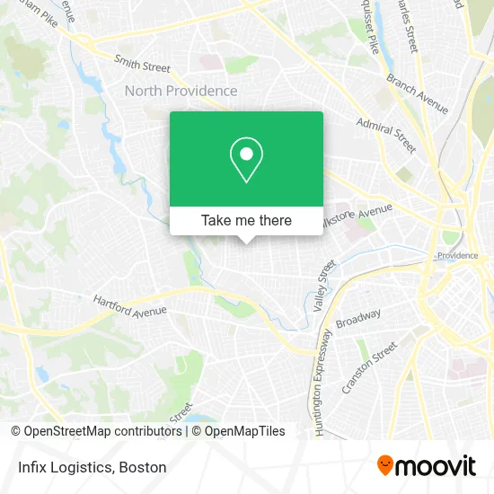
See Infix Logistics, Boston, on the map
Public Transit to Infix Logistics in Boston
Wondering how to get to Infix Logistics in Boston? Moovit helps you find the best way to get to Infix Logistics with step-by-step directions from the nearest public transit station.
Moovit provides free maps and live directions to help you navigate through your city. View schedules, routes, timetables, and find out how long does it take to get to Infix Logistics in real time.
Looking for the nearest stop or station to Infix Logistics? Check out this list of stops closest to your destination: Manton & Atwells (Opposite Salmon); Mt Pleasant Before Chaucer; Chalkstone Opposite Sisson; Providence.
Bus: 27, 56, 92.Train: PROVIDENCE/STOUGHTON, ACELA, NORTHEAST REGIONAL, PROVIDENCE LINE SHUTTLE, PROVIDENCE LINE SHUTTLE, PROVIDENCE LINE SHUTTLE, FOXBORO EVENT SERVICE.
Want to see if there’s another route that gets you there at an earlier time? Moovit helps you find alternative routes or times. Get directions from and directions to Infix Logistics easily from the Moovit App or Website.
We make riding to Infix Logistics easy, which is why over 1.7 million users, including users in Boston, trust Moovit as the best app for public transit. You don’t need to download an individual bus app or train app, Moovit is your all-in-one transit app that helps you find the best bus time or train time available.
For information on prices of bus and train, costs and ride fares to Infix Logistics, please check the Moovit app.
Use the app to navigate to popular places including to the airport, hospital, stadium, grocery store, mall, coffee shop, school, college, and university.
Infix Logistics Address: 205 Fairview St street in Boston
- Siprian Matos,
- E&L Produce,
- Less Stress Homes,
- Christ Apostolic Church,
- A & B Flower Shop,
- Christine O'Connel,
- J&J Landscaping and Construction,
- Machupicchu Restaurant II,
- Tom's Food Mart,
- Valero,
- Vehicle Locksmith Service Locksmith,
- Simbolikwear,
- Er Water Damage Restoration,
- U-Haul,
- Quetzal Auto Repair,
- Navarrete Tire Shop,
- Locksmith 24 7,
- New England Pizza,
- Point Bar & Grill,
- National Life Insurance
Places Near Infix Logistics (Boston)
- Boston Convention & Exhibition Center, Boston,
- Museum Of Science, Boston,
- Prudential Center, Boston,
- Mgm Music Hall, Boston,
- Seaport District, Boston,
- North End, Boston,
- Boston Children's Hospital, Boston,
- Wang Theater, Boston,
- Cheers, Boston,
- Castle Island, Boston,
- Massachusetts General Hospital, Boston,
- Faneuil Hall, Boston,
- Boston Medical Center, Boston,
- Boston Common, Boston,
- Leader Bank Pavilion (Leader Bank Pavillion), Boston,
- Td Garden, Boston,
- Isabella Stewart Gardner Museum, Boston,
- Quincy Market, Boston,
- Wilbur Theatre, Boston,
- House Of Blues, Boston
How to get to popular places in Boston with public transit
Get around Boston by public transit!
Traveling around Boston has never been so easy. See step by step directions as you travel to any attraction, street or major public transit station. View bus and train schedules, arrival times, service alerts and detailed routes on a map, so you know exactly how to get to anywhere in Boston.
When traveling to any destination around Boston use Moovit's Live Directions with Get Off Notifications to know exactly where and how far to walk, how long to wait for your line, and how many stops are left. Moovit will alert you when it's time to get off — no need to constantly re-check whether yours is the next stop.
Wondering how to use public transit in Boston or how to pay for public transit in Boston? Moovit public transit app can help you navigate your way with public transit easily, and at minimum cost. It includes public transit fees, ticket prices, and costs. Looking for a map of Boston public transit lines? Moovit public transit app shows all public transit maps in Boston with all Bus, Train, Subway and Ferry routes and stops on an interactive map.
Boston has 4 transit type(s), including: Bus, Train, Subway and Ferry, operated by several transit agencies, including MBTA, Southeastern Regional Transit Authority, MetroWest Regional Transit Authority, Rhode Island Public Transit Authority, WRTA, Lowell Regional Transit Authority, Merrimack Valley Transit, Montachusett Regional Transit Authority, Cape Cod Regional Transit Authority, Brockton Area Transit Authority, Martha's Vineyard Transit Authority, the WAVE - Nantucket Regional Transit Authority, GATRA, Cape Ann Transportation Authority and Massport