Directions to Inova Builds (Bloomington) with public transportation
The following transit lines have routes that pass near Inova Builds
 Bus: 18, 534, 539, METRO ORANGE LINE.
How to get to Inova Builds by bus?
Click on the bus route to see step by step directions with maps, line arrival times and updated time schedules.
Bus stops near Inova Builds in Bloomington
Bus lines to Inova Builds in Bloomington
What are the closest stations to Inova Builds?
The closest stations to Inova Builds are:
- 98th St W & Garfield Ave / Grand Ave is 249 yards away, 3 min walk.
- Lyndale Ave S & Oxboro Plaza is 425 yards away, 6 min walk.
Which bus lines stop near Inova Builds?
These bus lines stop near Inova Builds: 18, 534, 539, METRO ORANGE LINE.
What’s the nearest bus station to Inova Builds in Bloomington?
The nearest bus station to Inova Builds in Bloomington is 98th St W & Garfield Ave / Grand Ave. It’s a 3 min walk away.
What time is the first bus to Inova Builds in Bloomington?
The 18 is the first bus that goes to Inova Builds in Bloomington. It stops nearby at 4:38 AM.
What time is the last bus to Inova Builds in Bloomington?
The 18 is the last bus that goes to Inova Builds in Bloomington. It stops nearby at 11:26 PM.
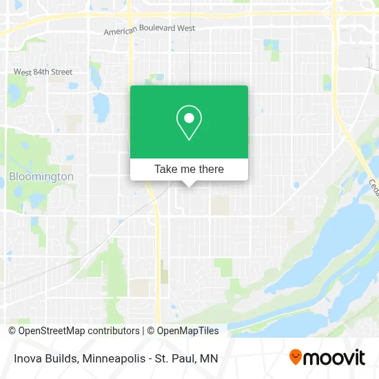
See Inova Builds, Bloomington, on the map
Public Transit to Inova Builds in Bloomington
Wondering how to get to Inova Builds in Bloomington? Moovit helps you find the best way to get to Inova Builds with step-by-step directions from the nearest public transit station.
Moovit provides free maps and live directions to help you navigate through your city. View schedules, routes, timetables, and find out how long does it take to get to Inova Builds in real time.
Looking for the nearest stop or station to Inova Builds? Check out this list of stops closest to your destination: 98th St W & Garfield Ave / Grand Ave; Lyndale Ave S & Oxboro Plaza.
Bus: 18, 534, 539, METRO ORANGE LINE.
Want to see if there’s another route that gets you there at an earlier time? Moovit helps you find alternative routes or times. Get directions from and directions to Inova Builds easily from the Moovit App or Website.
We make riding to Inova Builds easy, which is why over 1.7 million users, including users in Bloomington, trust Moovit as the best app for public transit. You don’t need to download an individual bus app or train app, Moovit is your all-in-one transit app that helps you find the best bus time or train time available.
For information on prices of bus and light rail, costs and ride fares to Inova Builds, please check the Moovit app.
Use the app to navigate to popular places including to the airport, hospital, stadium, grocery store, mall, coffee shop, school, college, and university.
Location: Bloomington, Minneapolis - St. Paul, MN
- Ailins Army,
- Blaylock Plumbing,
- Red Wing,
- Post Office,
- Mulicultural Development Center,
- bloomington Train Station,
- David Fong's Chinese Restaurant,
- Vehicle Locksmith,
- Autopia Bloomington,
- Tommy's Express Car Wash,
- Bob Lindgren Income Tax Service,
- Lilly Beauty Supply,
- Pierce Skate & Ski,
- Minneapolis Locksmith Near Me,
- Onyx Ent,
- Heartland Tours & Travel,
- Empire Beauty School,
- Memorial Blood Centers - Richfield Donor Center,
- Floorsource & Design Owner Matt Hild,
- Fairview Clinics – Bloomington
Places Near Inova Builds (Bloomington)
- Treasure Island Resort & Casino, St. Paul,
- 3m Arena at Mariucci, Minneapolis,
- St. Paul College, St. Paul,
- Target Center, Minneapolis,
- Huntington Bank Stadium, Minneapolis,
- Bishop Henry Whipple Federal Building,
- Harriet Island Regional Park, St. Paul,
- Abbott Northwestern Piper Building, Minneapolis,
- Minneapolis Institute of Art, Minneapolis,
- Minneapolis Sculpture Garden, Minneapolis,
- Mpls. Convention Center, Minneapolis,
- Orpheum Theatre (Minneapolis, Minnesota), Minneapolis,
- Northrop Auditorium, Minneapolis,
- Minnesota State Capitol, St. Paul,
- Grand Casino Hinckley,MN, Minneapolis,
- Minnehaha Falls, Minneapolis,
- Surly Brewing Co., Minneapolis,
- Target Field, Minneapolis,
- Xcel Energy Center, St. Paul,
- Mystic lake casino bus, Minneapolis
How to get to popular places in Minneapolis - St. Paul, MN with public transit
Get around Bloomington by public transit!
Traveling around Bloomington has never been so easy. See step by step directions as you travel to any attraction, street or major public transit station. View bus and train schedules, arrival times, service alerts and detailed routes on a map, so you know exactly how to get to anywhere in Bloomington.
When traveling to any destination around Bloomington use Moovit's Live Directions with Get Off Notifications to know exactly where and how far to walk, how long to wait for your line, and how many stops are left. Moovit will alert you when it's time to get off — no need to constantly re-check whether yours is the next stop.
Wondering how to use public transit in Bloomington or how to pay for public transit in Bloomington? Moovit public transit app can help you navigate your way with public transit easily, and at minimum cost. It includes public transit fees, ticket prices, and costs. Looking for a map of Bloomington public transit lines? Moovit public transit app shows all public transit maps in Bloomington with all Bus, Train and Light Rail routes and stops on an interactive map.
Minneapolis - St. Paul, MN has 3 transit type(s), including: Bus, Train and Light Rail, operated by several transit agencies, including Metro Transit , Metro Transit, MVTA, Plymouth Metrolink, SouthWest Transit, Maple Grove, University of Minnesota, Airport (MAC), Amtrak, Mankato Transit System, SMART, FlixBus-us and Greyhound-us