Directions to Institute For Health & Recovery (Watertown Town) with public transportation
The following transit lines have routes that pass near Institute For Health & Recovery
 Bus: 504, 59, 70, 71, 52.
- Train: FITCHBURG, FRAMINGHAM/WORCESTER.
- Subway: GREEN LINE B.
How to get to Institute For Health & Recovery by bus?
Click on the bus route to see step by step directions with maps, line arrival times and updated time schedules.
From Doubletree by Hilton Hotel Boston - Downtown, Boston
37 minFrom City Hall Plaza, Boston
49 minFrom SoWa Vintage Market, Boston
40 minFrom North End, Boston
52 minFrom The Burren, Somerville
51 minFrom Hyatt Regency Boston, Boston
41 minFrom Kkkk, Boston
81 minFrom Google, Cambridge
49 minFrom Bunker Hill, Boston
81 minFrom Wellesley, MA, Wellesley
86 min
How to get to Institute For Health & Recovery by train?
Click on the train route to see step by step directions with maps, line arrival times and updated time schedules.
Bus stops near Institute For Health & Recovery in Watertown Town
Train stations near Institute For Health & Recovery in Watertown Town
Subway station near Institute For Health & Recovery in Watertown Town
- Boston College, 50 min walk,VIEW
Bus lines to Institute For Health & Recovery in Watertown Town
What are the closest stations to Institute For Health & Recovery?
The closest stations to Institute For Health & Recovery are:
- Arsenal St @ Beacon Pk is 231 yards away, 3 min walk.
- Galen St @ Water St is 267 yards away, 4 min walk.
- Mt Auburn St @ Marshall St is 331 yards away, 4 min walk.
- Watertown Square is 559 yards away, 7 min walk.
- Belmont is 809 yards away, 10 min walk.
- Newtonville is 3640 yards away, 43 min walk.
- Boston College is 4218 yards away, 50 min walk.
Which bus lines stop near Institute For Health & Recovery?
These bus lines stop near Institute For Health & Recovery: 504, 59, 70, 71.
Which train lines stop near Institute For Health & Recovery?
These train lines stop near Institute For Health & Recovery: FITCHBURG, FRAMINGHAM/WORCESTER.
What’s the nearest train station to Institute For Health & Recovery in Watertown Town?
The nearest train station to Institute For Health & Recovery in Watertown Town is Belmont. It’s a 10 min walk away.
What’s the nearest bus station to Institute For Health & Recovery in Watertown Town?
The nearest bus station to Institute For Health & Recovery in Watertown Town is Arsenal St @ Beacon Pk. It’s a 3 min walk away.
What time is the first subway to Institute For Health & Recovery in Watertown Town?
The GREEN LINE B is the first subway that goes to Institute For Health & Recovery in Watertown Town. It stops nearby at 5:01 AM.
What time is the last subway to Institute For Health & Recovery in Watertown Town?
The GREEN LINE B is the last subway that goes to Institute For Health & Recovery in Watertown Town. It stops nearby at 2:39 AM.
What time is the first train to Institute For Health & Recovery in Watertown Town?
The FRAMINGHAM/WORCESTER is the first train that goes to Institute For Health & Recovery in Watertown Town. It stops nearby at 5:25 AM.
What time is the last train to Institute For Health & Recovery in Watertown Town?
The FRAMINGHAM/WORCESTER is the last train that goes to Institute For Health & Recovery in Watertown Town. It stops nearby at 12:17 AM.
What time is the first bus to Institute For Health & Recovery in Watertown Town?
The 57 is the first bus that goes to Institute For Health & Recovery in Watertown Town. It stops nearby at 4:30 AM.
What time is the last bus to Institute For Health & Recovery in Watertown Town?
The 57 is the last bus that goes to Institute For Health & Recovery in Watertown Town. It stops nearby at 2:34 AM.
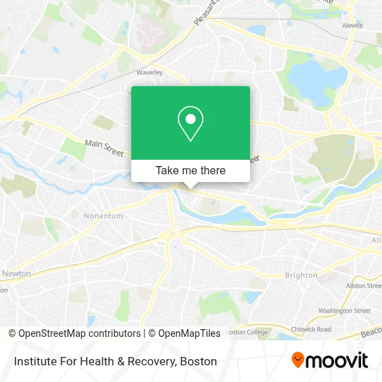
See Institute For Health & Recovery, Watertown Town, on the map
Public Transit to Institute For Health & Recovery in Watertown Town
Wondering how to get to Institute For Health & Recovery in Watertown Town? Moovit helps you find the best way to get to Institute For Health & Recovery with step-by-step directions from the nearest public transit station.
Moovit provides free maps and live directions to help you navigate through your city. View schedules, routes, timetables, and find out how long does it take to get to Institute For Health & Recovery in real time.
Looking for the nearest stop or station to Institute For Health & Recovery? Check out this list of stops closest to your destination: Arsenal St @ Beacon Pk; Galen St @ Water St; Mt Auburn St @ Marshall St; Watertown Square; Belmont; Newtonville; Boston College.
Bus: 504, 59, 70, 71, 52, 57.Train: FITCHBURG, FRAMINGHAM/WORCESTER.Subway: GREEN LINE B.
Want to see if there’s another route that gets you there at an earlier time? Moovit helps you find alternative routes or times. Get directions from and directions to Institute For Health & Recovery easily from the Moovit App or Website.
We make riding to Institute For Health & Recovery easy, which is why over 1.7 million users, including users in Watertown Town, trust Moovit as the best app for public transit. You don’t need to download an individual bus app or train app, Moovit is your all-in-one transit app that helps you find the best bus time or train time available.
For information on prices of bus, subway and train, costs and ride fares to Institute For Health & Recovery, please check the Moovit app.
Use the app to navigate to popular places including to the airport, hospital, stadium, grocery store, mall, coffee shop, school, college, and university.
Institute For Health & Recovery Address: 75 N Beacon St., Floor 2 street in Watertown Town
- Matthew Chen,
- People's United Bank,
- M&T Bank,
- Bostonian Towing,
- DUNKIN',
- SUBWAY,
- Argand Realty Capital,
- Luminous Dental,
- STARBUCKS,
- Halva Kebab,
- Michael Computer Repair & Tech Services,
- Medvadis Research,
- Alex Realty,
- Verizon Wireless,
- Russell Cellular,
- Tabrizi,
- Mindful Wellness,
- Erie 1928,
- Belleza Studio,
- Zucker Peter A
Places Near Institute For Health & Recovery (Watertown Town)
- Quincy Market, Boston,
- Museum Of Science, Boston,
- Td Garden, Boston,
- Wang Theater, Boston,
- Boston Children's Hospital, Boston,
- Castle Island, Boston,
- Wilbur Theatre, Boston,
- Massachusetts General Hospital, Boston,
- Cheers, Boston,
- Prudential Center, Boston,
- Faneuil Hall, Boston,
- Boston Common, Boston,
- Boston Convention & Exhibition Center, Boston,
- Mgm Music Hall, Boston,
- Boston Medical Center, Boston,
- House Of Blues, Boston,
- Isabella Stewart Gardner Museum, Boston,
- North End, Boston,
- Seaport District, Boston,
- Leader Bank Pavilion (Leader Bank Pavillion), Boston
How to get to popular places in Boston with public transit
Get around Watertown Town by public transit!
Traveling around Watertown Town has never been so easy. See step by step directions as you travel to any attraction, street or major public transit station. View bus and train schedules, arrival times, service alerts and detailed routes on a map, so you know exactly how to get to anywhere in Watertown Town.
When traveling to any destination around Watertown Town use Moovit's Live Directions with Get Off Notifications to know exactly where and how far to walk, how long to wait for your line, and how many stops are left. Moovit will alert you when it's time to get off — no need to constantly re-check whether yours is the next stop.
Wondering how to use public transit in Watertown Town or how to pay for public transit in Watertown Town? Moovit public transit app can help you navigate your way with public transit easily, and at minimum cost. It includes public transit fees, ticket prices, and costs. Looking for a map of Watertown Town public transit lines? Moovit public transit app shows all public transit maps in Watertown Town with all Bus, Train, Subway and Ferry routes and stops on an interactive map.
Boston has 4 transit type(s), including: Bus, Train, Subway and Ferry, operated by several transit agencies, including MBTA, Southeastern Regional Transit Authority, MetroWest Regional Transit Authority, Rhode Island Public Transit Authority, WRTA, Lowell Regional Transit Authority, Merrimack Valley Transit, Montachusett Regional Transit Authority, Cape Cod Regional Transit Authority, Brockton Area Transit Authority, Martha's Vineyard Transit Authority, the WAVE - Nantucket Regional Transit Authority, GATRA, Cape Ann Transportation Authority and Massport