Directions to Integrated Protection Systems (Brooklyn Park) with public transportation
The following transit lines have routes that pass near Integrated Protection Systems
 Bus: 721.
How to get to Integrated Protection Systems by bus?
Click on the bus route to see step by step directions with maps, line arrival times and updated time schedules.
From Fridley, Minnesota, Fridley
81 minFrom Ovation Framing, Plymouth
145 minFrom Eric's Garden Glory Hole, Minneapolis
45 minFrom Plymouth, Minnesota, Plymouth
135 minFrom Cady Management, Coon Rapids
96 minFrom Target HQ - Northern Campus, Brooklyn Park
84 minFrom Evon Investments, Brooklyn Center
28 minFrom Wayzata High School, Plymouth
134 minFrom Carpenter Winnelle, Golden Valley
65 min
Bus stop near Integrated Protection Systems in Brooklyn Park
- Northland Dr & 73rd Ave N, 3 min walk,VIEW
Bus lines to Integrated Protection Systems in Brooklyn Park
- 721, Henn Tech / Bass Lk Rd,VIEW
What are the closest stations to Integrated Protection Systems?
The closest stations to Integrated Protection Systems are:
- Northland Dr & 73rd Ave N is 249 yards away, 3 min walk.
Which bus line stops near Integrated Protection Systems?
721 (Henn Tech / Bass Lk Rd)
What’s the nearest bus station to Integrated Protection Systems in Brooklyn Park?
The nearest bus station to Integrated Protection Systems in Brooklyn Park is Northland Dr & 73rd Ave N. It’s a 3 min walk away.
What time is the first bus to Integrated Protection Systems in Brooklyn Park?
The 721 is the first bus that goes to Integrated Protection Systems in Brooklyn Park. It stops nearby at 5:47 AM.
What time is the last bus to Integrated Protection Systems in Brooklyn Park?
The 721 is the last bus that goes to Integrated Protection Systems in Brooklyn Park. It stops nearby at 10:10 PM.
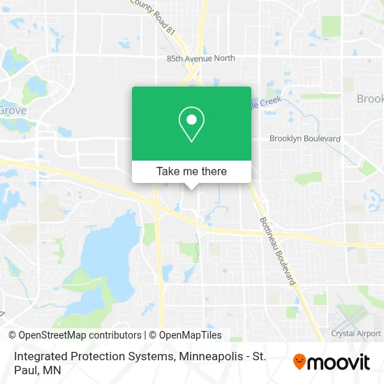
See Integrated Protection Systems, Brooklyn Park, on the map
Public Transit to Integrated Protection Systems in Brooklyn Park
Wondering how to get to Integrated Protection Systems in Brooklyn Park? Moovit helps you find the best way to get to Integrated Protection Systems with step-by-step directions from the nearest public transit station.
Moovit provides free maps and live directions to help you navigate through your city. View schedules, routes, timetables, and find out how long does it take to get to Integrated Protection Systems in real time.
Looking for the nearest stop or station to Integrated Protection Systems? Check out this list of stops closest to your destination: Northland Dr & 73rd Ave N.
Bus: 721.
Want to see if there’s another route that gets you there at an earlier time? Moovit helps you find alternative routes or times. Get directions from and directions to Integrated Protection Systems easily from the Moovit App or Website.
We make riding to Integrated Protection Systems easy, which is why over 1.7 million users, including users in Brooklyn Park, trust Moovit as the best app for public transit. You don’t need to download an individual bus app or train app, Moovit is your all-in-one transit app that helps you find the best bus time or train time available.
For information on prices of bus, costs and ride fares to Integrated Protection Systems, please check the Moovit app.
Use the app to navigate to popular places including to the airport, hospital, stadium, grocery store, mall, coffee shop, school, college, and university.
Integrated Protection Systems Address: 7165 Boone Ave N Ste 150 street in Brooklyn Park
- Cirus Controls,
- RM Cotton Store,
- Home Options,
- Dash Delivery Services,
- American Film & Machinery - AFM,
- ABC Gift Marketing,
- Top Notch Sewer,
- TWO MEN AND A TRUCK,
- Rustic Revival Barnwood,
- R&M High Speed Stampings,
- Community Action Partnership of Hennepin County,
- New American Funding - Brooklyn Park, MN,
- Amazon Career Center,
- Adeyinka Badewa-Re / Max Homemasters,
- Globe Life American Income Division: Deley Organization,
- FedEx,
- Alc Senior High,
- Osseo Alc Alternative Programs,
- 279 Excel,
- Minneapolis Marriott Northwest Brooklyn Park
Places Near Integrated Protection Systems (Brooklyn Park)
- Xcel Energy Center, St. Paul,
- Harriet Island Regional Park, St. Paul,
- Minnesota State Capitol, St. Paul,
- Surly Brewing Co., Minneapolis,
- Abbott Northwestern Piper Building, Minneapolis,
- Minneapolis Institute of Art, Minneapolis,
- Mystic lake casino bus, Minneapolis,
- Huntington Bank Stadium, Minneapolis,
- St. Paul College, St. Paul,
- 3m Arena at Mariucci, Minneapolis,
- Mpls. Convention Center, Minneapolis,
- Orpheum Theatre (Minneapolis, Minnesota), Minneapolis,
- Minnehaha Falls, Minneapolis,
- Minneapolis Sculpture Garden, Minneapolis,
- Target Center, Minneapolis,
- Treasure Island Resort & Casino, St. Paul,
- Grand Casino Hinckley,MN, Minneapolis,
- Northrop Auditorium, Minneapolis,
- Target Field, Minneapolis,
- Bishop Henry Whipple Federal Building
How to get to popular places in Minneapolis - St. Paul, MN with public transit
Get around Brooklyn Park by public transit!
Traveling around Brooklyn Park has never been so easy. See step by step directions as you travel to any attraction, street or major public transit station. View bus and train schedules, arrival times, service alerts and detailed routes on a map, so you know exactly how to get to anywhere in Brooklyn Park.
When traveling to any destination around Brooklyn Park use Moovit's Live Directions with Get Off Notifications to know exactly where and how far to walk, how long to wait for your line, and how many stops are left. Moovit will alert you when it's time to get off — no need to constantly re-check whether yours is the next stop.
Wondering how to use public transit in Brooklyn Park or how to pay for public transit in Brooklyn Park? Moovit public transit app can help you navigate your way with public transit easily, and at minimum cost. It includes public transit fees, ticket prices, and costs. Looking for a map of Brooklyn Park public transit lines? Moovit public transit app shows all public transit maps in Brooklyn Park with all Bus, Train and Light Rail routes and stops on an interactive map.
Minneapolis - St. Paul, MN has 3 transit type(s), including: Bus, Train and Light Rail, operated by several transit agencies, including Metro Transit , Metro Transit, MVTA, Plymouth Metrolink, SouthWest Transit, Maple Grove, University of Minnesota, Airport (MAC), Amtrak, Mankato Transit System, SMART, FlixBus-us and Greyhound-us