Directions to Integrity Creative Photography (Boston) with public transportation
The following transit lines have routes that pass near Integrity Creative Photography
 Bus: R14.
How to get to Integrity Creative Photography by bus?
Click on the bus route to see step by step directions with maps, line arrival times and updated time schedules.
From South High Community School, Worcester
256 minFrom Polar Park, Worcester
160 minFrom Walmart Supercenter, Worcester
218 minFrom Worcester, MA, Worcester
159 minFrom Palladium, Worcester
164 minFrom Registry Of Motor Vehicles (Rmv) Branch Office, Worcester
163 minFrom Foxwoods, Worcester
188 minFrom Dcu Center, Worcester
161 min
Bus stop near Integrity Creative Photography in Boston
- Heritage Nursing Home, 22 min walk,VIEW
Bus lines to Integrity Creative Photography in Boston
- R14, Union Station Springfield Via Heritage Nursing Home,VIEW
What are the closest stations to Integrity Creative Photography?
The closest stations to Integrity Creative Photography are:
- Heritage Nursing Home is 1822 yards away, 22 min walk.
Which bus line stops near Integrity Creative Photography?
R14 (Agawam Industrial Park)
What time is the first bus to Integrity Creative Photography in Boston?
The R14 is the first bus that goes to Integrity Creative Photography in Boston. It stops nearby at 6:33 AM.
What time is the last bus to Integrity Creative Photography in Boston?
The R14 is the last bus that goes to Integrity Creative Photography in Boston. It stops nearby at 5:32 PM.
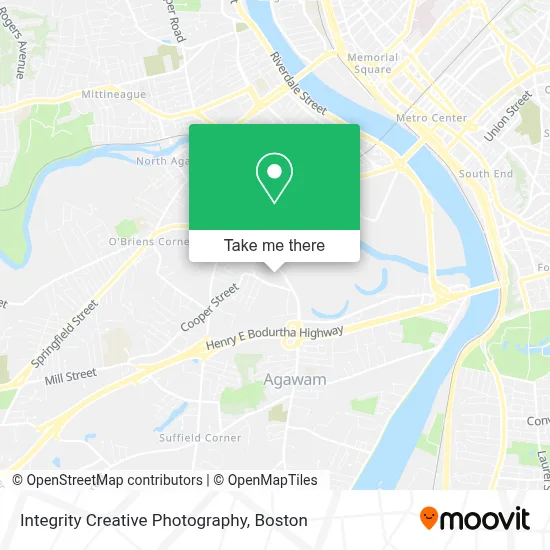
See Integrity Creative Photography, Boston, on the map
Public Transit to Integrity Creative Photography in Boston
Wondering how to get to Integrity Creative Photography in Boston? Moovit helps you find the best way to get to Integrity Creative Photography with step-by-step directions from the nearest public transit station.
Moovit provides free maps and live directions to help you navigate through your city. View schedules, routes, timetables, and find out how long does it take to get to Integrity Creative Photography in real time.
Looking for the nearest stop or station to Integrity Creative Photography? Check out this list of stops closest to your destination: Heritage Nursing Home.
Bus: R14.
Want to see if there’s another route that gets you there at an earlier time? Moovit helps you find alternative routes or times. Get directions from and directions to Integrity Creative Photography easily from the Moovit App or Website.
We make riding to Integrity Creative Photography easy, which is why over 1.7 million users, including users in Boston, trust Moovit as the best app for public transit. You don’t need to download an individual bus app or train app, Moovit is your all-in-one transit app that helps you find the best bus time or train time available.
For information on prices of bus, costs and ride fares to Integrity Creative Photography, please check the Moovit app.
Use the app to navigate to popular places including to the airport, hospital, stadium, grocery store, mall, coffee shop, school, college, and university.
Integrity Creative Photography Address: 270 Main St street in Boston
- North Cemetery,
- Irene Cody,
- Medical West Health Center,
- Ibrahimi Farhan MD,
- Trinity Health,
- David McKay,
- Talya Leopold MD,
- Trinity Of Health Of New England Medical Group,
- Shell,
- Hp Hood Llc,
- Allied Flooring & Paint,
- Xtreme Paintball - Store,
- Genesis Elder Care Services,
- Valenti's Restaurant,
- Shaklee Distributor,
- Boston Bay Pizza 3,
- Parrotta's Auto Repair & Sales,
- Blue Goose Cupcakery,
- China Star,
- Kimberly Downey
Places Near Integrity Creative Photography (Boston)
- Boston Medical Center, Boston,
- Prudential Center, Boston,
- Castle Island, Boston,
- Wang Theater, Boston,
- Isabella Stewart Gardner Museum, Boston,
- Seaport District, Boston,
- Museum Of Science, Boston,
- Leader Bank Pavilion (Leader Bank Pavillion), Boston,
- Cheers, Boston,
- North End, Boston,
- Wilbur Theatre, Boston,
- Boston Common, Boston,
- Quincy Market, Boston,
- Boston Children's Hospital, Boston,
- House Of Blues, Boston,
- Faneuil Hall, Boston,
- Boston Convention & Exhibition Center, Boston,
- Td Garden, Boston,
- Mgm Music Hall, Boston,
- Massachusetts General Hospital, Boston
How to get to popular places in Boston with public transit
Get around Boston by public transit!
Traveling around Boston has never been so easy. See step by step directions as you travel to any attraction, street or major public transit station. View bus and train schedules, arrival times, service alerts and detailed routes on a map, so you know exactly how to get to anywhere in Boston.
When traveling to any destination around Boston use Moovit's Live Directions with Get Off Notifications to know exactly where and how far to walk, how long to wait for your line, and how many stops are left. Moovit will alert you when it's time to get off — no need to constantly re-check whether yours is the next stop.
Wondering how to use public transit in Boston or how to pay for public transit in Boston? Moovit public transit app can help you navigate your way with public transit easily, and at minimum cost. It includes public transit fees, ticket prices, and costs. Looking for a map of Boston public transit lines? Moovit public transit app shows all public transit maps in Boston with all Bus, Train, Subway and Ferry routes and stops on an interactive map.
Boston has 4 transit type(s), including: Bus, Train, Subway and Ferry, operated by several transit agencies, including MBTA, Southeastern Regional Transit Authority, MetroWest Regional Transit Authority, Rhode Island Public Transit Authority, WRTA, Lowell Regional Transit Authority, Merrimack Valley Transit, Montachusett Regional Transit Authority, Cape Cod Regional Transit Authority, Brockton Area Transit Authority, Martha's Vineyard Transit Authority, the WAVE - Nantucket Regional Transit Authority, GATRA, Cape Ann Transportation Authority and Massport