How to get to International Hod Carriers by bus?
Click on the bus route to see step by step directions with maps, line arrival times and updated time schedules.
From Conte Forum, Boston
59 minFrom Brookline, MA, Brookline
65 minFrom Paradise Rock Club & Lounge, Boston
47 minFrom Goodwill Store, Boston
47 minFrom Raising Cane's, Boston
48 minFrom Hanscom AFB, Hanscom Afb
147 minFrom Hampton Inn & Suites-Hampton Watertown Boston (Hampton Inn & Suites Watertown Boston), Watertown Town
30 minFrom Paradise Rock Club, Boston
47 minFrom Mount Ida College, Newton
65 minFrom Allston, Boston
62 min
How to get to International Hod Carriers by train?
Click on the train route to see step by step directions with maps, line arrival times and updated time schedules.
Bus stops near International Hod Carriers in Waltham
Train station near International Hod Carriers in Waltham
- West Newton, 52 min walk,VIEW
Bus lines to International Hod Carriers in Waltham
What are the closest stations to International Hod Carriers?
The closest stations to International Hod Carriers are:
- Main St @ Exchange St is 231 yards away, 3 min walk.
- Main St @ Daniels Ct is 252 yards away, 4 min walk.
- Moody St @ Carter St is 331 yards away, 5 min walk.
- Carter St @ Waltham Comm Rail Sta is 573 yards away, 8 min walk.
- Waltham is 611 yards away, 8 min walk.
- West Newton is 4368 yards away, 52 min walk.
Which bus lines stop near International Hod Carriers?
These bus lines stop near International Hod Carriers: 553, 554, 558, 70.
Which train line stops near International Hod Carriers?
FRAMINGHAM/WORCESTER (#521 | Worcester)
What’s the nearest bus station to International Hod Carriers in Waltham?
The nearest bus station to International Hod Carriers in Waltham is Main St @ Exchange St. It’s a 3 min walk away.
What time is the first train to International Hod Carriers in Waltham?
The FRAMINGHAM/WORCESTER is the first train that goes to International Hod Carriers in Waltham. It stops nearby at 5:19 AM.
What time is the last train to International Hod Carriers in Waltham?
The FRAMINGHAM/WORCESTER is the last train that goes to International Hod Carriers in Waltham. It stops nearby at 12:22 AM.
What time is the first bus to International Hod Carriers in Waltham?
The 70 is the first bus that goes to International Hod Carriers in Waltham. It stops nearby at 4:51 AM.
What time is the last bus to International Hod Carriers in Waltham?
The 70 is the last bus that goes to International Hod Carriers in Waltham. It stops nearby at 12:41 AM.
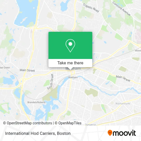
See International Hod Carriers, Waltham, on the map
Public Transit to International Hod Carriers in Waltham
Wondering how to get to International Hod Carriers in Waltham? Moovit helps you find the best way to get to International Hod Carriers with step-by-step directions from the nearest public transit station.
Moovit provides free maps and live directions to help you navigate through your city. View schedules, routes, timetables, and find out how long does it take to get to International Hod Carriers in real time.
Looking for the nearest stop or station to International Hod Carriers? Check out this list of stops closest to your destination: Main St @ Exchange St; Main St @ Daniels Ct; Moody St @ Carter St; Carter St @ Waltham Comm Rail Sta; Waltham; West Newton.
Bus: 553, 554, 558, 70, 61, 556, 505, W1, FITCHBURG LINE SHUTTLE, FITCHBURG.Train: FRAMINGHAM/WORCESTER.
Want to see if there’s another route that gets you there at an earlier time? Moovit helps you find alternative routes or times. Get directions from and directions to International Hod Carriers easily from the Moovit App or Website.
We make riding to International Hod Carriers easy, which is why over 1.7 million users, including users in Waltham, trust Moovit as the best app for public transit. You don’t need to download an individual bus app or train app, Moovit is your all-in-one transit app that helps you find the best bus time or train time available.
For information on prices of bus, subway and train, costs and ride fares to International Hod Carriers, please check the Moovit app.
Use the app to navigate to popular places including to the airport, hospital, stadium, grocery store, mall, coffee shop, school, college, and university.
International Hod Carriers Address: 681 Main St street in Waltham
- Tile & Grout Cleaning,
- Laborers International Local 560,
- Pixture Perfect,
- Baanthai,
- Same Day Carpet Cleaning,
- Waltham Smoke,
- Channel One Satellite TV Services,
- The Team Multilingual Care,
- Nails T & T,
- Caritas Medical Group at,
- Waltham, MA,
- Mohammad Reda MD,
- Rainbow Care & Staffing Solutions,
- Daniel French School,
- Eternite Cares,
- Ebenezer Tax and Services,
- Waltham Common,
- Benjamin Phan,
- City of Waltham,
- Mo's Barbershop
Places Near International Hod Carriers (Waltham)
- Wang Theater, Boston,
- Boston Medical Center, Boston,
- Isabella Stewart Gardner Museum, Boston,
- Faneuil Hall, Boston,
- Massachusetts General Hospital, Boston,
- Quincy Market, Boston,
- Prudential Center, Boston,
- Boston Convention & Exhibition Center, Boston,
- Boston Common, Boston,
- Leader Bank Pavilion (Leader Bank Pavillion), Boston,
- Seaport District, Boston,
- Mgm Music Hall, Boston,
- Museum Of Science, Boston,
- North End, Boston,
- Cheers, Boston,
- Wilbur Theatre, Boston,
- Castle Island, Boston,
- Td Garden, Boston,
- Boston Children's Hospital, Boston,
- House Of Blues, Boston
How to get to popular places in Boston with public transit
Get around Waltham by public transit!
Traveling around Waltham has never been so easy. See step by step directions as you travel to any attraction, street or major public transit station. View bus and train schedules, arrival times, service alerts and detailed routes on a map, so you know exactly how to get to anywhere in Waltham.
When traveling to any destination around Waltham use Moovit's Live Directions with Get Off Notifications to know exactly where and how far to walk, how long to wait for your line, and how many stops are left. Moovit will alert you when it's time to get off — no need to constantly re-check whether yours is the next stop.
Wondering how to use public transit in Waltham or how to pay for public transit in Waltham? Moovit public transit app can help you navigate your way with public transit easily, and at minimum cost. It includes public transit fees, ticket prices, and costs. Looking for a map of Waltham public transit lines? Moovit public transit app shows all public transit maps in Waltham with all Bus, Train, Subway and Ferry routes and stops on an interactive map.
Boston has 4 transit type(s), including: Bus, Train, Subway and Ferry, operated by several transit agencies, including MBTA, Southeastern Regional Transit Authority, MetroWest Regional Transit Authority, Rhode Island Public Transit Authority, WRTA, Lowell Regional Transit Authority, Merrimack Valley Transit, Montachusett Regional Transit Authority, Cape Cod Regional Transit Authority, Brockton Area Transit Authority, Martha's Vineyard Transit Authority, the WAVE - Nantucket Regional Transit Authority, GATRA, Cape Ann Transportation Authority and Massport