Directions to International Union-Elevator (Boston) with public transportation
The following transit lines have routes that pass near International Union-Elevator
 Bus: 15, 19, 18, RED LINE SHUTTLE, RED LINE SHUTTLE.
- Train: FAIRMOUNT, FALL RIVER/NEW BEDFORD.
- Subway: RED LINE.
How to get to International Union-Elevator by bus?
Click on the bus route to see step by step directions with maps, line arrival times and updated time schedules.
From West Roxbury VA Medical Center, Boston
67 minFrom Alumni Stadium, Boston
96 minFrom Chelsea District Court, Chelsea
96 minFrom Boston Opera House, Boston
55 minFrom Ramsay's Kitchen, Boston
64 minFrom Christian A Herter Park, Boston
96 minFrom Barcelona Wine Bar, Boston
51 minFrom Constitution Beach, Boston
110 minFrom TJ Maxx, Boston
60 minFrom Massport Security Badge Office, Boston
80 min
How to get to International Union-Elevator by train?
Click on the train route to see step by step directions with maps, line arrival times and updated time schedules.
How to get to International Union-Elevator by subway?
Click on the subway route to see step by step directions with maps, line arrival times and updated time schedules.
Bus stops near International Union-Elevator in Boston
Subway station near International Union-Elevator in Boston
- Fields Corner, 21 min walk,VIEW
Bus lines to International Union-Elevator in Boston
What are the closest stations to International Union-Elevator?
The closest stations to International Union-Elevator are:
- Dorchester Ave Opp Charles St is 55 yards away, 1 min walk.
- Dorchester Ave @ Fields Corner Station is 96 yards away, 2 min walk.
- Neponset Ave @ Adams St is 270 yards away, 4 min walk.
- Neponset Ave @ Adams St King Square is 274 yards away, 4 min walk.
- Adams St @ Parkman St is 335 yards away, 4 min walk.
- Fields Corner is 1720 yards away, 21 min walk.
Which bus lines stop near International Union-Elevator?
These bus lines stop near International Union-Elevator: 15, 19.
Which train lines stop near International Union-Elevator?
These train lines stop near International Union-Elevator: FAIRMOUNT, FALL RIVER/NEW BEDFORD.
Which subway line stops near International Union-Elevator?
RED LINE (Ashmont/Braintree)
What’s the nearest subway station to International Union-Elevator in Boston?
The nearest subway station to International Union-Elevator in Boston is Fields Corner. It’s a 21 min walk away.
What’s the nearest bus station to International Union-Elevator in Boston?
The nearest bus station to International Union-Elevator in Boston is Dorchester Ave Opp Charles St. It’s a 1 min walk away.
What time is the first subway to International Union-Elevator in Boston?
The RED LINE is the first subway that goes to International Union-Elevator in Boston. It stops nearby at 5:16 AM.
What time is the last subway to International Union-Elevator in Boston?
The RED LINE is the last subway that goes to International Union-Elevator in Boston. It stops nearby at 2:03 AM.
What time is the first bus to International Union-Elevator in Boston?
The 210 is the first bus that goes to International Union-Elevator in Boston. It stops nearby at 5:15 AM.
What time is the last bus to International Union-Elevator in Boston?
The 210 is the last bus that goes to International Union-Elevator in Boston. It stops nearby at 1:03 AM.
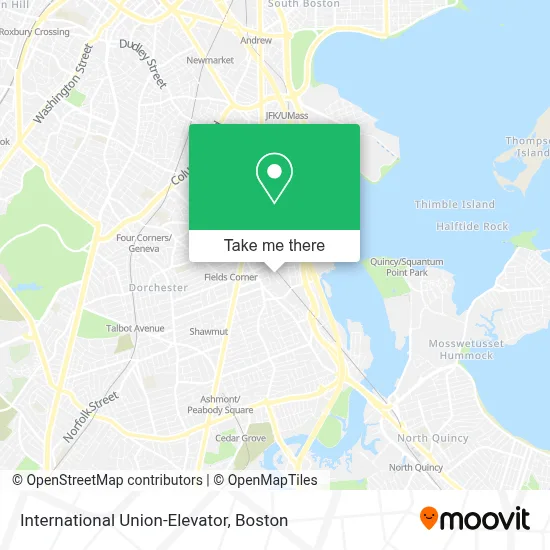
See International Union-Elevator, Boston, on the map
Public Transit to International Union-Elevator in Boston
Wondering how to get to International Union-Elevator in Boston? Moovit helps you find the best way to get to International Union-Elevator with step-by-step directions from the nearest public transit station.
Moovit provides free maps and live directions to help you navigate through your city. View schedules, routes, timetables, and find out how long does it take to get to International Union-Elevator in real time.
Looking for the nearest stop or station to International Union-Elevator? Check out this list of stops closest to your destination: Dorchester Ave Opp Charles St; Dorchester Ave @ Fields Corner Station; Neponset Ave @ Adams St; Neponset Ave @ Adams St King Square; Adams St @ Parkman St; Fields Corner.
Bus: 15, 19, 18, RED LINE SHUTTLE, RED LINE SHUTTLE, 202, 210, 201.Train: FAIRMOUNT, FALL RIVER/NEW BEDFORD.Subway: RED LINE.
Want to see if there’s another route that gets you there at an earlier time? Moovit helps you find alternative routes or times. Get directions from and directions to International Union-Elevator easily from the Moovit App or Website.
We make riding to International Union-Elevator easy, which is why over 1.7 million users, including users in Boston, trust Moovit as the best app for public transit. You don’t need to download an individual bus app or train app, Moovit is your all-in-one transit app that helps you find the best bus time or train time available.
For information on prices of subway, bus and train, costs and ride fares to International Union-Elevator, please check the Moovit app.
Use the app to navigate to popular places including to the airport, hospital, stadium, grocery store, mall, coffee shop, school, college, and university.
International Union-Elevator Address: 50 Park St Ste 1 street in Boston
- DCF,
- Green Clover Junk Removal and Recycling,
- Serene Cleaning,
- Boston Duck Tours Garage Facility,
- Boston Flooring,
- Local Logistics,
- Ronan Park Dog Recreation Space,
- DFD Service 2 Drains,
- Brigham Square,
- Strickland Brothers 10 Minute Oil Change,
- Feeney Brothers Utility Services,
- Tri-J's House of Barbering & Hairstyling,
- Upali Convenience,
- Bevo Security Solutions,
- Protech Secure Systems,
- SSG Lily Darling,
- Barry Noone Electrician,
- CDS Electrical,
- Road Loads,
- Dorchester Locksmith
Places Near International Union-Elevator (Boston)
- House Of Blues, Boston,
- Isabella Stewart Gardner Museum, Boston,
- North End, Boston,
- Prudential Center, Boston,
- Td Garden, Boston,
- Mgm Music Hall, Boston,
- Wilbur Theatre, Boston,
- Boston Common, Boston,
- Boston Medical Center, Boston,
- Boston Children's Hospital, Boston,
- Wang Theater, Boston,
- Massachusetts General Hospital, Boston,
- Castle Island, Boston,
- Faneuil Hall, Boston,
- Boston Convention & Exhibition Center, Boston,
- Seaport District, Boston,
- Cheers, Boston,
- Museum Of Science, Boston,
- Quincy Market, Boston,
- Leader Bank Pavilion (Leader Bank Pavillion), Boston
How to get to popular places in Boston with public transit
Get around Boston by public transit!
Traveling around Boston has never been so easy. See step by step directions as you travel to any attraction, street or major public transit station. View bus and train schedules, arrival times, service alerts and detailed routes on a map, so you know exactly how to get to anywhere in Boston.
When traveling to any destination around Boston use Moovit's Live Directions with Get Off Notifications to know exactly where and how far to walk, how long to wait for your line, and how many stops are left. Moovit will alert you when it's time to get off — no need to constantly re-check whether yours is the next stop.
Wondering how to use public transit in Boston or how to pay for public transit in Boston? Moovit public transit app can help you navigate your way with public transit easily, and at minimum cost. It includes public transit fees, ticket prices, and costs. Looking for a map of Boston public transit lines? Moovit public transit app shows all public transit maps in Boston with all Bus, Train, Subway and Ferry routes and stops on an interactive map.
Boston has 4 transit type(s), including: Bus, Train, Subway and Ferry, operated by several transit agencies, including MBTA, Southeastern Regional Transit Authority, MetroWest Regional Transit Authority, Rhode Island Public Transit Authority, WRTA, Lowell Regional Transit Authority, Merrimack Valley Transit, Montachusett Regional Transit Authority, Cape Cod Regional Transit Authority, Brockton Area Transit Authority, Martha's Vineyard Transit Authority, the WAVE - Nantucket Regional Transit Authority, GATRA, Cape Ann Transportation Authority and Massport