Directions to Intersource by Stark (Minneapolis) with public transportation
The following transit lines have routes that pass near Intersource by Stark
 Bus: 9, 760, 763, METRO C LINE, 755.
How to get to Intersource by Stark by bus?
Click on the bus route to see step by step directions with maps, line arrival times and updated time schedules.
From New Hope, MN, New Hope
80 minFrom 755 53rd Ave NE Parking, Fridley
43 minFrom Walmart, Roseville
42 minFrom General Mills World HQ, Golden Valley
49 minFrom Rosedale Shopping Center-Entrance 4, Roseville
46 minFrom New Hope, Minnesota, New Hope
78 minFrom Rhi, Minneapolis
50 minFrom Huntington Bank Stadium, Minneapolis
46 minFrom Blink Charging, Minneapolis
33 minFrom Minneapolis Veterans Home, Minneapolis
70 min
Bus stops near Intersource by Stark in Minneapolis
Light Rail stations near Intersource by Stark in Minneapolis
- Target Field Platform 2, 37 min walk,VIEW
Bus lines to Intersource by Stark in Minneapolis
What are the closest stations to Intersource by Stark?
The closest stations to Intersource by Stark are:
- Glenwood Ave & Lyndale Ave N (E) is 285 yards away, 4 min walk.
- Chestnut Ave & 15th St/12th St - Layover is 383 yards away, 5 min walk.
- Olson & 7th St Station is 537 yards away, 7 min walk.
- Target Field Platform 2 is 3068 yards away, 37 min walk.
Which bus line stops near Intersource by Stark?
9 (E 25st - 36av / 46st Station)
What’s the nearest bus station to Intersource by Stark in Minneapolis?
The nearest bus station to Intersource by Stark in Minneapolis is Glenwood Ave & Lyndale Ave N (E). It’s a 4 min walk away.
What time is the first light rail to Intersource by Stark in Minneapolis?
The METRO BLUE LINE is the first light rail that goes to Intersource by Stark in Minneapolis. It stops nearby at 4:28 AM.
What time is the last light rail to Intersource by Stark in Minneapolis?
The METRO BLUE LINE is the last light rail that goes to Intersource by Stark in Minneapolis. It stops nearby at 12:51 AM.
What time is the first bus to Intersource by Stark in Minneapolis?
The METRO C LINE is the first bus that goes to Intersource by Stark in Minneapolis. It stops nearby at 4:49 AM.
What time is the last bus to Intersource by Stark in Minneapolis?
The METRO C LINE is the last bus that goes to Intersource by Stark in Minneapolis. It stops nearby at 1:19 AM.
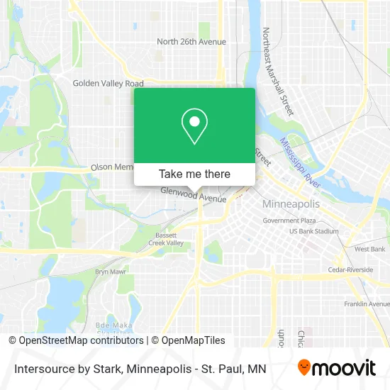
See Intersource by Stark, Minneapolis, on the map
Public Transit to Intersource by Stark in Minneapolis
Wondering how to get to Intersource by Stark in Minneapolis? Moovit helps you find the best way to get to Intersource by Stark with step-by-step directions from the nearest public transit station.
Moovit provides free maps and live directions to help you navigate through your city. View schedules, routes, timetables, and find out how long does it take to get to Intersource by Stark in real time.
Looking for the nearest stop or station to Intersource by Stark? Check out this list of stops closest to your destination: Glenwood Ave & Lyndale Ave N (E); Chestnut Ave & 15th St/12th St - Layover; Olson & 7th St Station; Target Field Platform 2.
Bus: 9, 760, 763, METRO C LINE, 755.
Want to see if there’s another route that gets you there at an earlier time? Moovit helps you find alternative routes or times. Get directions from and directions to Intersource by Stark easily from the Moovit App or Website.
We make riding to Intersource by Stark easy, which is why over 1.7 million users, including users in Minneapolis, trust Moovit as the best app for public transit. You don’t need to download an individual bus app or train app, Moovit is your all-in-one transit app that helps you find the best bus time or train time available.
For information on prices of bus, costs and ride fares to Intersource by Stark, please check the Moovit app.
Use the app to navigate to popular places including to the airport, hospital, stadium, grocery store, mall, coffee shop, school, college, and university.
Intersource by Stark Address: 275 Market St street in Minneapolis
- Re3 Creative,
- Midwest Plant Studio,
- Exit Realty Metro,
- Fuse Minneapolis,
- Amsum & Ash,
- FedEx,
- The Bolier Showroom,
- Dom Interiors Minneapolis,
- John's Locksmith,
- Aulik Design Build,
- International Market Square,
- Scherping Associates,
- Bellaserra Outdoor,
- Susan G. Komen Race for the Cure,
- Weinberg & Erickson,
- D'Amico Catering (D'Amico Catering at International Market Square),
- Root To Rise Kitchen,
- USPS Collection Box - Apc,
- Spalon Montage Edina,
- Ims Lofts
Places Near Intersource by Stark (Minneapolis)
- Minnehaha Falls, Minneapolis,
- Minnesota State Capitol, St. Paul,
- Xcel Energy Center, St. Paul,
- Target Field, Minneapolis,
- St. Paul College, St. Paul,
- Mpls. Convention Center, Minneapolis,
- Northrop Auditorium, Minneapolis,
- Minneapolis Institute of Art, Minneapolis,
- Target Center, Minneapolis,
- Mystic lake casino bus, Minneapolis,
- Surly Brewing Co., Minneapolis,
- Bishop Henry Whipple Federal Building,
- Huntington Bank Stadium, Minneapolis,
- Orpheum Theatre (Minneapolis, Minnesota), Minneapolis,
- Harriet Island Regional Park, St. Paul,
- 3m Arena at Mariucci, Minneapolis,
- Minneapolis Sculpture Garden, Minneapolis,
- Treasure Island Resort & Casino, St. Paul,
- Abbott Northwestern Piper Building, Minneapolis,
- Grand Casino Hinckley,MN, Minneapolis
How to get to popular places in Minneapolis - St. Paul, MN with public transit
Get around Minneapolis by public transit!
Traveling around Minneapolis has never been so easy. See step by step directions as you travel to any attraction, street or major public transit station. View bus and train schedules, arrival times, service alerts and detailed routes on a map, so you know exactly how to get to anywhere in Minneapolis.
When traveling to any destination around Minneapolis use Moovit's Live Directions with Get Off Notifications to know exactly where and how far to walk, how long to wait for your line, and how many stops are left. Moovit will alert you when it's time to get off — no need to constantly re-check whether yours is the next stop.
Wondering how to use public transit in Minneapolis or how to pay for public transit in Minneapolis? Moovit public transit app can help you navigate your way with public transit easily, and at minimum cost. It includes public transit fees, ticket prices, and costs. Looking for a map of Minneapolis public transit lines? Moovit public transit app shows all public transit maps in Minneapolis with all Bus, Train and Light Rail routes and stops on an interactive map.
Minneapolis - St. Paul, MN has 3 transit type(s), including: Bus, Train and Light Rail, operated by several transit agencies, including Metro Transit , Metro Transit, MVTA, Plymouth Metrolink, SouthWest Transit, Maple Grove, University of Minnesota, Airport (MAC), Amtrak, Mankato Transit System, SMART, FlixBus-us and Greyhound-us