How to get to Inver Grove Collision by bus?
Click on the bus route to see step by step directions with maps, line arrival times and updated time schedules.
From Metro Transit Bus Route #84, St. Paul
50 minFrom Xcel Energy Center-Gate 1, St. Paul
36 minFrom Treasure Island Resort & Casino, St. Paul
55 minFrom Mickey's Diner, St. Paul
31 minFrom Annas Healing Massage, St. Paul
65 minFrom Tipsy Steer, Minneapolis
77 minFrom Saint Paul Public Library - Merriam Park, St. Paul
55 minFrom University and Snelling Ave, St. Paul
51 minFrom Walmart, St. Paul
56 minFrom Metropolitan State University (Saint Paul Campus), St. Paul
51 min
Bus stop near Inver Grove Collision in Inver Grove Heights
- Livingston Ave & Crusader Ave E, 8 min walk,VIEW
Bus lines to Inver Grove Collision in Inver Grove Heights
What are the closest stations to Inver Grove Collision?
The closest stations to Inver Grove Collision are:
- Livingston Ave & Crusader Ave E is 656 yards away, 8 min walk.
Which bus lines stop near Inver Grove Collision?
These bus lines stop near Inver Grove Collision: 345, 75.
What’s the nearest bus station to Inver Grove Collision in Inver Grove Heights?
The nearest bus station to Inver Grove Collision in Inver Grove Heights is Livingston Ave & Crusader Ave E. It’s a 8 min walk away.
What time is the first bus to Inver Grove Collision in Inver Grove Heights?
The 75 is the first bus that goes to Inver Grove Collision in Inver Grove Heights. It stops nearby at 5:43 AM.
What time is the last bus to Inver Grove Collision in Inver Grove Heights?
The 75 is the last bus that goes to Inver Grove Collision in Inver Grove Heights. It stops nearby at 8:52 PM.
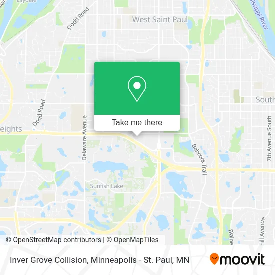
See Inver Grove Collision, Inver Grove Heights, on the map
Public Transit to Inver Grove Collision in Inver Grove Heights
Wondering how to get to Inver Grove Collision in Inver Grove Heights? Moovit helps you find the best way to get to Inver Grove Collision with step-by-step directions from the nearest public transit station.
Moovit provides free maps and live directions to help you navigate through your city. View schedules, routes, timetables, and find out how long does it take to get to Inver Grove Collision in real time.
Looking for the nearest stop or station to Inver Grove Collision? Check out this list of stops closest to your destination: Livingston Ave & Crusader Ave E.
Bus: 345, 75.
Want to see if there’s another route that gets you there at an earlier time? Moovit helps you find alternative routes or times. Get directions from and directions to Inver Grove Collision easily from the Moovit App or Website.
We make riding to Inver Grove Collision easy, which is why over 1.7 million users, including users in Inver Grove Heights, trust Moovit as the best app for public transit. You don’t need to download an individual bus app or train app, Moovit is your all-in-one transit app that helps you find the best bus time or train time available.
For information on prices of bus and light rail, costs and ride fares to Inver Grove Collision, please check the Moovit app.
Use the app to navigate to popular places including to the airport, hospital, stadium, grocery store, mall, coffee shop, school, college, and university.
Inver Grove Collision Address: 1111 Highway 110 street in Inver Grove Heights
- Mauer CHEVROLET,
- Dakota County Northern Service Center,
- Denny Hecker Hyundai,
- Cub Foods,
- Inver Grove Heights Locks & Keys,
- Blink Charging,
- Burlington,
- Xfinity Store by Comcast Branded Partner,
- Phoenix Chinese Dance Academy,
- Pep Boys,
- Savers,
- Masterson Staffing Solutions - Inver Grove Heights Branch,
- Wing Street,
- Moler Barber School,
- Appliance Repair Siemens Repair Service,
- Ellie Mental Health,
- Erbert & Gerbert's,
- Atlas Staffing Inc,
- Aerial Beauty Supply,
- Penske Auto Center
Places Near Inver Grove Collision (Inver Grove Heights)
- Northrop Auditorium, Minneapolis,
- Surly Brewing Co., Minneapolis,
- Minnesota State Capitol, St. Paul,
- Mystic lake casino bus, Minneapolis,
- Huntington Bank Stadium, Minneapolis,
- Orpheum Theatre (Minneapolis, Minnesota), Minneapolis,
- St. Paul College, St. Paul,
- Xcel Energy Center, St. Paul,
- Grand Casino Hinckley,MN, Minneapolis,
- Abbott Northwestern Piper Building, Minneapolis,
- Target Field, Minneapolis,
- Treasure Island Resort & Casino, St. Paul,
- Mpls. Convention Center, Minneapolis,
- 3m Arena at Mariucci, Minneapolis,
- Minnehaha Falls, Minneapolis,
- Minneapolis Institute of Art, Minneapolis,
- Target Center, Minneapolis,
- Bishop Henry Whipple Federal Building,
- Harriet Island Regional Park, St. Paul,
- Minneapolis Sculpture Garden, Minneapolis
How to get to popular places in Minneapolis - St. Paul, MN with public transit
Get around Inver Grove Heights by public transit!
Traveling around Inver Grove Heights has never been so easy. See step by step directions as you travel to any attraction, street or major public transit station. View bus and train schedules, arrival times, service alerts and detailed routes on a map, so you know exactly how to get to anywhere in Inver Grove Heights.
When traveling to any destination around Inver Grove Heights use Moovit's Live Directions with Get Off Notifications to know exactly where and how far to walk, how long to wait for your line, and how many stops are left. Moovit will alert you when it's time to get off — no need to constantly re-check whether yours is the next stop.
Wondering how to use public transit in Inver Grove Heights or how to pay for public transit in Inver Grove Heights? Moovit public transit app can help you navigate your way with public transit easily, and at minimum cost. It includes public transit fees, ticket prices, and costs. Looking for a map of Inver Grove Heights public transit lines? Moovit public transit app shows all public transit maps in Inver Grove Heights with all Bus, Train and Light Rail routes and stops on an interactive map.
Minneapolis - St. Paul, MN has 3 transit type(s), including: Bus, Train and Light Rail, operated by several transit agencies, including Metro Transit , Metro Transit, MVTA, Plymouth Metrolink, SouthWest Transit, Maple Grove, University of Minnesota, Airport (MAC), Amtrak, Mankato Transit System, SMART, FlixBus-us and Greyhound-us