How to get to Investics Data Services by bus?
Click on the bus route to see step by step directions with maps, line arrival times and updated time schedules.
Train station near Investics Data Services in Boston
- Kendal Green, 22 min walk,VIEW
What are the closest stations to Investics Data Services?
The closest stations to Investics Data Services are:
- Kendal Green is 1847 yards away, 22 min walk.
Which bus line stops near Investics Data Services?
70 (Market Place Dr)
Which train line stops near Investics Data Services?
FITCHBURG (#409 | Wachusett)
What’s the nearest train station to Investics Data Services in Boston?
The nearest train station to Investics Data Services in Boston is Kendal Green. It’s a 22 min walk away.
What time is the first train to Investics Data Services in Boston?
The FITCHBURG is the first train that goes to Investics Data Services in Boston. It stops nearby at 5:27 AM.
What time is the last train to Investics Data Services in Boston?
The FITCHBURG is the last train that goes to Investics Data Services in Boston. It stops nearby at 12:19 AM.
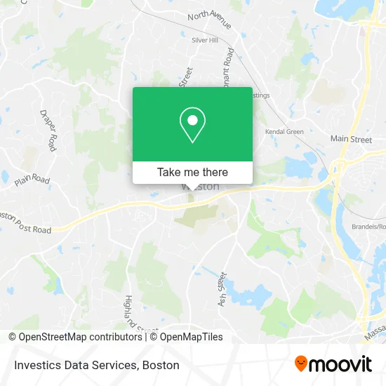
See Investics Data Services, Boston, on the map
Public Transit to Investics Data Services in Boston
Wondering how to get to Investics Data Services in Boston? Moovit helps you find the best way to get to Investics Data Services with step-by-step directions from the nearest public transit station.
Moovit provides free maps and live directions to help you navigate through your city. View schedules, routes, timetables, and find out how long does it take to get to Investics Data Services in real time.
Looking for the nearest stop or station to Investics Data Services? Check out this list of stops closest to your destination: Kendal Green.
Bus: 70.Train: FITCHBURG.
Want to see if there’s another route that gets you there at an earlier time? Moovit helps you find alternative routes or times. Get directions from and directions to Investics Data Services easily from the Moovit App or Website.
We make riding to Investics Data Services easy, which is why over 1.7 million users, including users in Boston, trust Moovit as the best app for public transit. You don’t need to download an individual bus app or train app, Moovit is your all-in-one transit app that helps you find the best bus time or train time available.
For information on prices of bus, train and subway, costs and ride fares to Investics Data Services, please check the Moovit app.
Use the app to navigate to popular places including to the airport, hospital, stadium, grocery store, mall, coffee shop, school, college, and university.
Investics Data Services Address: 588 Boston Post Rd street in Boston
- Weston,
- Weston MA USA,
- Weston, Massachusetts,
- Saint Peters Episcopal Church,
- Trailhead Parking,
- Biogen,
- Coach Grill,
- Td Bank,
- Boston Men's Baseball League,
- Am PM Locksmith,
- Rowan Hill,
- New York Life Insurance: Anthony Gaita ,
- Mobil,
- 3x4 White Rd,
- Tower Hill, Massachusetts,
- Wellesleyweston Magazine,
- Web Browser,
- Meadowbrook School of Weston,
- I-95 / Route 128 & Route 20 Interchange (Exit 26),
- TIAA-CREF
Places Near Investics Data Services (Boston)
- House Of Blues, Boston,
- North End, Boston,
- Cheers, Boston,
- Prudential Center, Boston,
- Leader Bank Pavilion (Leader Bank Pavillion), Boston,
- Museum Of Science, Boston,
- Isabella Stewart Gardner Museum, Boston,
- Wilbur Theatre, Boston,
- Td Garden, Boston,
- Boston Convention & Exhibition Center, Boston,
- Faneuil Hall, Boston,
- Wang Theater, Boston,
- Boston Children's Hospital, Boston,
- Mgm Music Hall, Boston,
- Massachusetts General Hospital, Boston,
- Quincy Market, Boston,
- Castle Island, Boston,
- Boston Common, Boston,
- Seaport District, Boston,
- Boston Medical Center, Boston
How to get to popular places in Boston with public transit
Get around Boston by public transit!
Traveling around Boston has never been so easy. See step by step directions as you travel to any attraction, street or major public transit station. View bus and train schedules, arrival times, service alerts and detailed routes on a map, so you know exactly how to get to anywhere in Boston.
When traveling to any destination around Boston use Moovit's Live Directions with Get Off Notifications to know exactly where and how far to walk, how long to wait for your line, and how many stops are left. Moovit will alert you when it's time to get off — no need to constantly re-check whether yours is the next stop.
Wondering how to use public transit in Boston or how to pay for public transit in Boston? Moovit public transit app can help you navigate your way with public transit easily, and at minimum cost. It includes public transit fees, ticket prices, and costs. Looking for a map of Boston public transit lines? Moovit public transit app shows all public transit maps in Boston with all Bus, Train, Subway and Ferry routes and stops on an interactive map.
Boston has 4 transit type(s), including: Bus, Train, Subway and Ferry, operated by several transit agencies, including MBTA, Southeastern Regional Transit Authority, MetroWest Regional Transit Authority, Rhode Island Public Transit Authority, WRTA, Lowell Regional Transit Authority, Merrimack Valley Transit, Montachusett Regional Transit Authority, Cape Cod Regional Transit Authority, Brockton Area Transit Authority, Martha's Vineyard Transit Authority, the WAVE - Nantucket Regional Transit Authority, GATRA, Cape Ann Transportation Authority and Massport