Directions to Island Merchant (Barnstable Town) with public transportation
The following transit lines have routes that pass near Island Merchant
How to get to Island Merchant by bus?
Click on the bus route to see step by step directions with maps, line arrival times and updated time schedules.
Bus stops near Island Merchant in Barnstable Town
- Dta @ North St, 6 min walk,VIEW
- Cape Cod Hospital (Bayview Street), Hyannis, 6 min walk,VIEW
- Transportation Center Hyannis, 11 min walk,VIEW
- Sturgis Charter School -- Main Street, Hyannis, 11 min walk,VIEW
- Hyannis Transportation Center, 12 min walk,VIEW
- Hyannis Transportation Center (Htc), 12 min walk,VIEW
Train station near Island Merchant in Barnstable Town
- Hyannis, 64 min walk,VIEW
Bus lines to Island Merchant in Barnstable Town
- HYANNIS CROSSTOWN, Hyannis Transportation Center (Htc),VIEW
- H2O HYANNIS-ORLEANS, Stop & Shop, Orleans,VIEW
- PETER PAN, CAPE COD - PROVIDENCE - NEW YORK,VIEW
- PETER PAN, BOSTON LOGAN AIRPORT - BOSTON - HYANNIS,VIEW
- PETER PAN, PROVINCETOWN - HYANNIS,VIEW
- PETER PAN, NEW YORK - PROVIDENCE - CAPE COD,VIEW
- PETER PAN, HYANNIS - PROVINCETOWN,VIEW
- PETER PAN, HYANNIS - BOSTON - BOSTON LOGAN AIRPORT,VIEW
- SANDWICH LINE, Hyannis Transportation Center (Htc),VIEW
- SEALINE HYANNIS-FALMOUTH/WOODS HOLE, Mashpee Commons (Stop & Shop),VIEW
- HYANNIS - SOUTH SHORE TO LOGAN AIRPORT, Hyannis Transportation Center,VIEW
- BARNSTABLE VILLAGER, Cape Cod Community College, West Barnstable,VIEW
- HYANNIS AREA TROLLEY, Hyannis Transportation Center (Htc),VIEW
- PATRIOT LTD, Patriot Square, South Dennis,VIEW
What are the closest stations to Island Merchant?
The closest stations to Island Merchant are:
- Dta @ North St is 435 yards away, 6 min walk.
- Cape Cod Hospital (Bayview Street), Hyannis is 503 yards away, 6 min walk.
- Transportation Center Hyannis is 875 yards away, 11 min walk.
- Sturgis Charter School -- Main Street, Hyannis is 909 yards away, 11 min walk.
- Hyannis Transportation Center is 956 yards away, 12 min walk.
- Hyannis Transportation Center (Htc) is 973 yards away, 12 min walk.
- Hyannis is 5459 yards away, 64 min walk.
Which bus lines stop near Island Merchant?
These bus lines stop near Island Merchant: PETER PAN, SEALINE HYANNIS-FALMOUTH/WOODS HOLE.
What’s the nearest bus station to Island Merchant in Barnstable Town?
The nearest bus stations to Island Merchant in Barnstable Town are Dta @ North St and Cape Cod Hospital (Bayview Street), Hyannis. The closest one is a 6 min walk away.
What time is the first bus to Island Merchant in Barnstable Town?
The HYANNIS - SOUTH SHORE TO LOGAN AIRPORT is the first bus that goes to Island Merchant in Barnstable Town. It stops nearby at 3:00 AM.
What time is the last bus to Island Merchant in Barnstable Town?
The HYANNIS - SOUTH SHORE TO LOGAN AIRPORT is the last bus that goes to Island Merchant in Barnstable Town. It stops nearby at 1:35 AM.
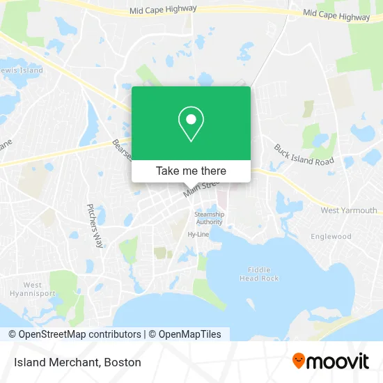
See Island Merchant, Barnstable Town, on the map
Public Transit to Island Merchant in Barnstable Town
Wondering how to get to Island Merchant in Barnstable Town? Moovit helps you find the best way to get to Island Merchant with step-by-step directions from the nearest public transit station.
Moovit provides free maps and live directions to help you navigate through your city. View schedules, routes, timetables, and find out how long does it take to get to Island Merchant in real time.
Looking for the nearest stop or station to Island Merchant? Check out this list of stops closest to your destination: Dta @ North St; Cape Cod Hospital (Bayview Street); Transportation Center Hyannis; Sturgis Charter School -- Main Street; Hyannis Transportation Center; Hyannis Transportation Center (Htc); Hyannis.
Bus: PETER PAN, SEALINE HYANNIS-FALMOUTH/WOODS HOLE, HYANNIS CROSSTOWN, H2O HYANNIS-ORLEANS, SANDWICH LINE, HYANNIS - SOUTH SHORE TO LOGAN AIRPORT.Train: CAPEFLYER.
Want to see if there’s another route that gets you there at an earlier time? Moovit helps you find alternative routes or times. Get directions from and directions to Island Merchant easily from the Moovit App or Website.
We make riding to Island Merchant easy, which is why over 1.7 million users, including users in Barnstable Town, trust Moovit as the best app for public transit. You don’t need to download an individual bus app or train app, Moovit is your all-in-one transit app that helps you find the best bus time or train time available.
For information on prices of bus and ferry, costs and ride fares to Island Merchant, please check the Moovit app.
Use the app to navigate to popular places including to the airport, hospital, stadium, grocery store, mall, coffee shop, school, college, and university.
Island Merchant Address: 302 Main St street in Barnstable Town
- Dumont Enterprises,
- Quadrangular Church Cape Cod - Ieq Hyannis,
- Igreja Quadrangular Em Hyannis,
- Taste of Siam Cape Cod,
- Hyannis Sound,
- Mariner Cafe,
- Igor Avelar - TD Wealth Financial Advisor,
- Main Street Hyannis Ma,
- Western Union,
- Comfort Inn Hyannis,
- Ninja House,
- Samuel Michael Salon,
- Orexi Foods,
- Kkatie's Burger Bar,
- Comfort INN,
- Barnstable Patriot,
- Mykonos Beads,
- Greek Flea Market,
- The Curtain Company,
- Hyanniscommercegroup
Places Near Island Merchant (Barnstable Town)
- Wang Theater, Boston,
- Isabella Stewart Gardner Museum, Boston,
- Td Garden, Boston,
- Faneuil Hall, Boston,
- Seaport District, Boston,
- Boston Medical Center, Boston,
- North End, Boston,
- Wilbur Theatre, Boston,
- Mgm Music Hall, Boston,
- Castle Island, Boston,
- Quincy Market, Boston,
- Boston Children's Hospital, Boston,
- House Of Blues, Boston,
- Prudential Center, Boston,
- Boston Common, Boston,
- Boston Convention & Exhibition Center, Boston,
- Leader Bank Pavilion (Leader Bank Pavillion), Boston,
- Massachusetts General Hospital, Boston,
- Cheers, Boston,
- Museum Of Science, Boston
How to get to popular places in Boston with public transit
Get around Barnstable Town by public transit!
Traveling around Barnstable Town has never been so easy. See step by step directions as you travel to any attraction, street or major public transit station. View bus and train schedules, arrival times, service alerts and detailed routes on a map, so you know exactly how to get to anywhere in Barnstable Town.
When traveling to any destination around Barnstable Town use Moovit's Live Directions with Get Off Notifications to know exactly where and how far to walk, how long to wait for your line, and how many stops are left. Moovit will alert you when it's time to get off — no need to constantly re-check whether yours is the next stop.
Wondering how to use public transit in Barnstable Town or how to pay for public transit in Barnstable Town? Moovit public transit app can help you navigate your way with public transit easily, and at minimum cost. It includes public transit fees, ticket prices, and costs. Looking for a map of Barnstable Town public transit lines? Moovit public transit app shows all public transit maps in Barnstable Town with all Bus, Train, Subway and Ferry routes and stops on an interactive map.
Boston has 4 transit type(s), including: Bus, Train, Subway and Ferry, operated by several transit agencies, including MBTA, Southeastern Regional Transit Authority, MetroWest Regional Transit Authority, Rhode Island Public Transit Authority, WRTA, Lowell Regional Transit Authority, Merrimack Valley Transit, Montachusett Regional Transit Authority, Cape Cod Regional Transit Authority, Brockton Area Transit Authority, Martha's Vineyard Transit Authority, the WAVE - Nantucket Regional Transit Authority, GATRA, Cape Ann Transportation Authority and Massport