Directions to Ixys Integrated Circuits Division (Beverly) with public transportation
The following transit lines have routes that pass near Ixys Integrated Circuits Division
 Bus: 451, CITY OF BEVERLY SHUTTLE.
- Train: NEWBURYPORT/ROCKPORT.
How to get to Ixys Integrated Circuits Division by bus?
Click on the bus route to see step by step directions with maps, line arrival times and updated time schedules.
How to get to Ixys Integrated Circuits Division by train?
Click on the train route to see step by step directions with maps, line arrival times and updated time schedules.
Train station near Ixys Integrated Circuits Division in Beverly
- North Beverly, 34 min walk,VIEW
What are the closest stations to Ixys Integrated Circuits Division?
The closest stations to Ixys Integrated Circuits Division are:
- North Beverly is 2863 yards away, 34 min walk.
Which bus lines stop near Ixys Integrated Circuits Division?
These bus lines stop near Ixys Integrated Circuits Division: 451, CITY OF BEVERLY SHUTTLE.
Which train line stops near Ixys Integrated Circuits Division?
NEWBURYPORT/ROCKPORT (#131 | Newburyport)
What time is the first train to Ixys Integrated Circuits Division in Beverly?
The NEWBURYPORT/ROCKPORT is the first train that goes to Ixys Integrated Circuits Division in Beverly. It stops nearby at 5:11 AM.
What time is the last train to Ixys Integrated Circuits Division in Beverly?
The NEWBURYPORT/ROCKPORT is the last train that goes to Ixys Integrated Circuits Division in Beverly. It stops nearby at 12:36 AM.
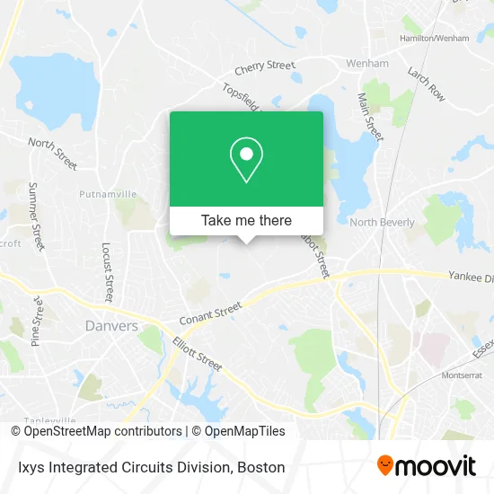
See Ixys Integrated Circuits Division, Beverly, on the map
Public Transit to Ixys Integrated Circuits Division in Beverly
Wondering how to get to Ixys Integrated Circuits Division in Beverly? Moovit helps you find the best way to get to Ixys Integrated Circuits Division with step-by-step directions from the nearest public transit station.
Moovit provides free maps and live directions to help you navigate through your city. View schedules, routes, timetables, and find out how long does it take to get to Ixys Integrated Circuits Division in real time.
Looking for the nearest stop or station to Ixys Integrated Circuits Division? Check out this list of stops closest to your destination: North Beverly.
Bus: 451, CITY OF BEVERLY SHUTTLE.Train: NEWBURYPORT/ROCKPORT.
Want to see if there’s another route that gets you there at an earlier time? Moovit helps you find alternative routes or times. Get directions from and directions to Ixys Integrated Circuits Division easily from the Moovit App or Website.
We make riding to Ixys Integrated Circuits Division easy, which is why over 1.7 million users, including users in Beverly, trust Moovit as the best app for public transit. You don’t need to download an individual bus app or train app, Moovit is your all-in-one transit app that helps you find the best bus time or train time available.
For information on prices of bus and train, costs and ride fares to Ixys Integrated Circuits Division, please check the Moovit app.
Use the app to navigate to popular places including to the airport, hospital, stadium, grocery store, mall, coffee shop, school, college, and university.
Ixys Integrated Circuits Division Address: 78 Cherry Hill Dr street in Beverly
- Windover Construction,
- Highres Biosolutions,
- Shawmut Communications Group,
- Cherry Hill Office Park,
- S&N Debt Solutions,
- Abiomed,
- American Chemet Export,
- Apex Wealth,
- Substantial Relief Massage,
- Wicked Cool For Kids,
- Broderick & Mastrapasqua, Llc,
- Northeast Dermatology Associates,
- Kerry Casey at Crosscountry Mortgage,
- Angelica Fisheries,
- Meridian Associates,
- Us Advisory Group,
- Abiomed,
- Cherry Farm Creamery,
- Beverly Municipal Airport (BVY) (Beverly Municipal Airport),
- Ashley Fuel Inc.
Places Near Ixys Integrated Circuits Division (Beverly)
- Massachusetts General Hospital, Boston,
- Museum Of Science, Boston,
- Castle Island, Boston,
- Boston Children's Hospital, Boston,
- Seaport District, Boston,
- Cheers, Boston,
- Wang Theater, Boston,
- North End, Boston,
- Mgm Music Hall, Boston,
- Wilbur Theatre, Boston,
- Td Garden, Boston,
- Boston Convention & Exhibition Center, Boston,
- Faneuil Hall, Boston,
- Quincy Market, Boston,
- House Of Blues, Boston,
- Boston Medical Center, Boston,
- Boston Common, Boston,
- Leader Bank Pavilion (Leader Bank Pavillion), Boston,
- Prudential Center, Boston,
- Isabella Stewart Gardner Museum, Boston
How to get to popular places in Boston with public transit
Get around Beverly by public transit!
Traveling around Beverly has never been so easy. See step by step directions as you travel to any attraction, street or major public transit station. View bus and train schedules, arrival times, service alerts and detailed routes on a map, so you know exactly how to get to anywhere in Beverly.
When traveling to any destination around Beverly use Moovit's Live Directions with Get Off Notifications to know exactly where and how far to walk, how long to wait for your line, and how many stops are left. Moovit will alert you when it's time to get off — no need to constantly re-check whether yours is the next stop.
Wondering how to use public transit in Beverly or how to pay for public transit in Beverly? Moovit public transit app can help you navigate your way with public transit easily, and at minimum cost. It includes public transit fees, ticket prices, and costs. Looking for a map of Beverly public transit lines? Moovit public transit app shows all public transit maps in Beverly with all Bus, Train, Subway and Ferry routes and stops on an interactive map.
Boston has 4 transit type(s), including: Bus, Train, Subway and Ferry, operated by several transit agencies, including MBTA, Southeastern Regional Transit Authority, MetroWest Regional Transit Authority, Rhode Island Public Transit Authority, WRTA, Lowell Regional Transit Authority, Merrimack Valley Transit, Montachusett Regional Transit Authority, Cape Cod Regional Transit Authority, Brockton Area Transit Authority, Martha's Vineyard Transit Authority, the WAVE - Nantucket Regional Transit Authority, GATRA, Cape Ann Transportation Authority and Massport