Directions to Jamstage (Boston) with public transportation
The following transit lines have routes that pass near Jamstage
 Bus: 1, R, 71.
- Train: PROVIDENCE/STOUGHTON, ACELA, NORTHEAST REGIONAL, PROVIDENCE LINE SHUTTLE, PROVIDENCE LINE SHUTTLE.
How to get to Jamstage by bus?
Click on the bus route to see step by step directions with maps, line arrival times and updated time schedules.
How to get to Jamstage by train?
Click on the train route to see step by step directions with maps, line arrival times and updated time schedules.
Bus stops near Jamstage in Boston
Train stations near Jamstage in Boston
- Providence, 5 min walk,VIEW
Bus lines to Jamstage in Boston
What are the closest stations to Jamstage?
The closest stations to Jamstage are:
- Hope Artiste Village is 308 yards away, 4 min walk.
- Providence is 351 yards away, 5 min walk.
- Pawtucket & Dartmouth is 533 yards away, 7 min walk.
Which bus lines stop near Jamstage?
These bus lines stop near Jamstage: 1, R.
Which train line stops near Jamstage?
PROVIDENCE/STOUGHTON (#819 | Providence)
What’s the nearest train station to Jamstage in Boston?
The nearest train station to Jamstage in Boston is Providence. It’s a 5 min walk away.
What’s the nearest bus station to Jamstage in Boston?
The nearest bus station to Jamstage in Boston is Hope Artiste Village. It’s a 4 min walk away.
What time is the first train to Jamstage in Boston?
The PROVIDENCE/STOUGHTON is the first train that goes to Jamstage in Boston. It stops nearby at 4:10 AM.
What time is the last train to Jamstage in Boston?
The NORTHEAST REGIONAL is the last train that goes to Jamstage in Boston. It stops nearby at 9:17 AM.
What time is the first bus to Jamstage in Boston?
The R is the first bus that goes to Jamstage in Boston. It stops nearby at 5:20 AM.
What time is the last bus to Jamstage in Boston?
The R is the last bus that goes to Jamstage in Boston. It stops nearby at 12:54 AM.
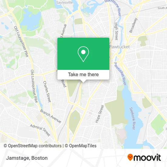
See Jamstage, Boston, on the map
Public Transit to Jamstage in Boston
Wondering how to get to Jamstage in Boston? Moovit helps you find the best way to get to Jamstage with step-by-step directions from the nearest public transit station.
Moovit provides free maps and live directions to help you navigate through your city. View schedules, routes, timetables, and find out how long does it take to get to Jamstage in real time.
Looking for the nearest stop or station to Jamstage? Check out this list of stops closest to your destination: Hope Artiste Village; Providence; Pawtucket & Dartmouth.
Bus: 1, R, 71.Train: PROVIDENCE/STOUGHTON, ACELA, NORTHEAST REGIONAL, PROVIDENCE LINE SHUTTLE, PROVIDENCE LINE SHUTTLE, PROVIDENCE LINE SHUTTLE, FOXBORO EVENT SERVICE.
Want to see if there’s another route that gets you there at an earlier time? Moovit helps you find alternative routes or times. Get directions from and directions to Jamstage easily from the Moovit App or Website.
We make riding to Jamstage easy, which is why over 1.7 million users, including users in Boston, trust Moovit as the best app for public transit. You don’t need to download an individual bus app or train app, Moovit is your all-in-one transit app that helps you find the best bus time or train time available.
For information on prices of bus and train, costs and ride fares to Jamstage, please check the Moovit app.
Use the app to navigate to popular places including to the airport, hospital, stadium, grocery store, mall, coffee shop, school, college, and university.
Jamstage Address: 25 Esten Ave street in Boston
- Racing Experience,
- The Village Lofts,
- Siena Moon Design Pawtucket,
- Beer Samurai's Bun'Ei,
- Morry Remediation Solutions,
- Cannlocate,
- RE/MAX,
- Rhode Island Music Hall of Fame,
- The Head Light Hotel,
- Blaze,
- Celsa Mendonca,
- Bas,
- Melo Project Runway for Youth,
- Hair by Alyssa Caldarone,
- Melissa Lacouture Photography,
- Conte Sound Productions,
- Ladyfingers Letterpress,
- Bonjour Belle Cosmetics,
- Bloom the Beauty Bar,
- Outsider Collective
Places Near Jamstage (Boston)
- Wang Theater, Boston,
- Massachusetts General Hospital, Boston,
- Cheers, Boston,
- Td Garden, Boston,
- Boston Medical Center, Boston,
- Quincy Market, Boston,
- North End, Boston,
- Seaport District, Boston,
- Faneuil Hall, Boston,
- Isabella Stewart Gardner Museum, Boston,
- Boston Convention & Exhibition Center, Boston,
- Museum Of Science, Boston,
- Boston Common, Boston,
- Leader Bank Pavilion (Leader Bank Pavillion), Boston,
- Wilbur Theatre, Boston,
- Mgm Music Hall, Boston,
- Prudential Center, Boston,
- Castle Island, Boston,
- House Of Blues, Boston,
- Boston Children's Hospital, Boston
How to get to popular places in Boston with public transit
Get around Boston by public transit!
Traveling around Boston has never been so easy. See step by step directions as you travel to any attraction, street or major public transit station. View bus and train schedules, arrival times, service alerts and detailed routes on a map, so you know exactly how to get to anywhere in Boston.
When traveling to any destination around Boston use Moovit's Live Directions with Get Off Notifications to know exactly where and how far to walk, how long to wait for your line, and how many stops are left. Moovit will alert you when it's time to get off — no need to constantly re-check whether yours is the next stop.
Wondering how to use public transit in Boston or how to pay for public transit in Boston? Moovit public transit app can help you navigate your way with public transit easily, and at minimum cost. It includes public transit fees, ticket prices, and costs. Looking for a map of Boston public transit lines? Moovit public transit app shows all public transit maps in Boston with all Bus, Train, Subway and Ferry routes and stops on an interactive map.
Boston has 4 transit type(s), including: Bus, Train, Subway and Ferry, operated by several transit agencies, including MBTA, Southeastern Regional Transit Authority, MetroWest Regional Transit Authority, Rhode Island Public Transit Authority, WRTA, Lowell Regional Transit Authority, Merrimack Valley Transit, Montachusett Regional Transit Authority, Cape Cod Regional Transit Authority, Brockton Area Transit Authority, Martha's Vineyard Transit Authority, the WAVE - Nantucket Regional Transit Authority, GATRA, Cape Ann Transportation Authority and Massport