How to get to Janus by bus?
Click on the bus route to see step by step directions with maps, line arrival times and updated time schedules.
From Hilton Garden Inn Boston Brookline, Brookline
68 minFrom Jamaica Plain V.A., Boston
68 minFrom AC Hotel Boston Cambridge, Cambridge
102 minFrom WESTIN Boston Waterfront (The WESTIN Boston Seaport District), Boston
27 minFrom Myers + Chang (Myers & Chang), Boston
52 minFrom Massachusetts, Boston
85 minFrom Regent Theatre, Arlington
74 minFrom Dorchester, Boston
81 minFrom Beth Israel Deaconess Medical Center, West Campus - Farr Building, Boston
80 minFrom Boston Harbor, Boston
35 min
How to get to Janus by train?
Click on the train route to see step by step directions with maps, line arrival times and updated time schedules.
How to get to Janus by subway?
Click on the subway route to see step by step directions with maps, line arrival times and updated time schedules.
From Hilton Garden Inn Boston Brookline, Brookline
70 minFrom Jamaica Plain V.A., Boston
79 minFrom AC Hotel Boston Cambridge, Cambridge
85 minFrom WESTIN Boston Waterfront (The WESTIN Boston Seaport District), Boston
68 minFrom Myers + Chang (Myers & Chang), Boston
54 minFrom Massachusetts, Boston
97 minFrom Dorchester, Boston
77 minFrom Beth Israel Deaconess Medical Center, West Campus - Farr Building, Boston
72 min
Bus stops near Janus in Chelsea
Subway station near Janus in Chelsea
- Airport, 17 min walk,VIEW
Train station near Janus in Chelsea
- Chelsea, 36 min walk,VIEW
Bus lines to Janus in Chelsea
What are the closest stations to Janus?
The closest stations to Janus are:
- Broadway @ City Hall Ave is 20 yards away, 1 min walk.
- City Hall Ave @ Broadway is 49 yards away, 1 min walk.
- Washington Ave @ Broadway is 396 yards away, 5 min walk.
- Box District is 478 yards away, 6 min walk.
- Airport is 1424 yards away, 17 min walk.
- Chelsea is 3004 yards away, 36 min walk.
Which bus lines stop near Janus?
These bus lines stop near Janus: 104, 111, SL3.
Which train line stops near Janus?
NEWBURYPORT/ROCKPORT (#27 | Rockport)
Which subway line stops near Janus?
BLUE LINE (Wonderland)
What’s the nearest subway station to Janus in Chelsea?
The nearest subway station to Janus in Chelsea is Airport. It’s a 17 min walk away.
What’s the nearest bus station to Janus in Chelsea?
The nearest bus stations to Janus in Chelsea are Broadway @ City Hall Ave and City Hall Ave @ Broadway. The closest one is a 1 min walk away.
What time is the first subway to Janus in Chelsea?
The BLUE LINE is the first subway that goes to Janus in Chelsea. It stops nearby at 5:08 AM.
What time is the last subway to Janus in Chelsea?
The BLUE LINE is the last subway that goes to Janus in Chelsea. It stops nearby at 2:03 AM.
What time is the first train to Janus in Chelsea?
The NEWBURYPORT/ROCKPORT is the first train that goes to Janus in Chelsea. It stops nearby at 5:40 AM.
What time is the last train to Janus in Chelsea?
The NEWBURYPORT/ROCKPORT is the last train that goes to Janus in Chelsea. It stops nearby at 12:06 AM.
What time is the first bus to Janus in Chelsea?
The 104 is the first bus that goes to Janus in Chelsea. It stops nearby at 4:32 AM.
What time is the last bus to Janus in Chelsea?
The 111 is the last bus that goes to Janus in Chelsea. It stops nearby at 2:29 AM.
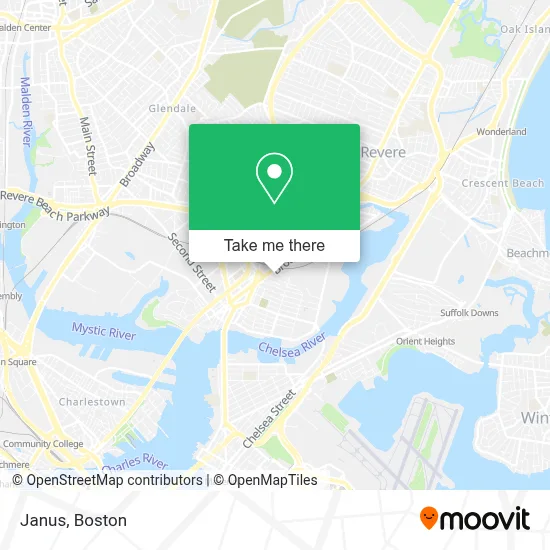
See Janus, Chelsea, on the map
Public Transit to Janus in Chelsea
Wondering how to get to Janus in Chelsea? Moovit helps you find the best way to get to Janus with step-by-step directions from the nearest public transit station.
Moovit provides free maps and live directions to help you navigate through your city. View schedules, routes, timetables, and find out how long does it take to get to Janus in real time.
Looking for the nearest stop or station to Janus? Check out this list of stops closest to your destination: Broadway @ City Hall Ave; City Hall Ave @ Broadway; Washington Ave @ Broadway; Box District; Airport; Chelsea.
Bus: 104, 111, SL3, 116, 112, 114.Train: NEWBURYPORT/ROCKPORT.Subway: BLUE LINE.
Want to see if there’s another route that gets you there at an earlier time? Moovit helps you find alternative routes or times. Get directions from and directions to Janus easily from the Moovit App or Website.
We make riding to Janus easy, which is why over 1.7 million users, including users in Chelsea, trust Moovit as the best app for public transit. You don’t need to download an individual bus app or train app, Moovit is your all-in-one transit app that helps you find the best bus time or train time available.
For information on prices of bus, subway and train, costs and ride fares to Janus, please check the Moovit app.
Use the app to navigate to popular places including to the airport, hospital, stadium, grocery store, mall, coffee shop, school, college, and university.
Janus Address: 27 Gerrish Ave street in Chelsea
- Palomares Painting,
- BHCC Shuttle Bus,
- Bellingham Square,
- Premier Commercial Real Estate,
- Chelsea Station,
- La Chula Restaurant,
- MBTA Bus Route 117,
- Leo Brooks Locksmiths,
- Super Mart,
- Chelsea MA USA,
- Veteran Services,
- Bunker Hill Community College Chelsea,
- Bachata Rosa Restaurant,
- Chelsea Discount Stop,
- Dollar Tienda,
- Bellingham Fruit & Pro,
- Flag Pharmacy,
- Brightline Management,
- Iglesia La Luz De Cristo,
- Transportes Lorenzana
Places Near Janus (Chelsea)
- Td Garden, Boston,
- Castle Island, Boston,
- Wilbur Theatre, Boston,
- Prudential Center, Boston,
- North End, Boston,
- Faneuil Hall, Boston,
- Massachusetts General Hospital, Boston,
- Seaport District, Boston,
- Boston Medical Center, Boston,
- House Of Blues, Boston,
- Boston Common, Boston,
- Boston Convention & Exhibition Center, Boston,
- Museum Of Science, Boston,
- Cheers, Boston,
- Boston Children's Hospital, Boston,
- Mgm Music Hall, Boston,
- Quincy Market, Boston,
- Isabella Stewart Gardner Museum, Boston,
- Wang Theater, Boston,
- Leader Bank Pavilion (Leader Bank Pavillion), Boston
How to get to popular places in Boston with public transit
Get around Chelsea by public transit!
Traveling around Chelsea has never been so easy. See step by step directions as you travel to any attraction, street or major public transit station. View bus and train schedules, arrival times, service alerts and detailed routes on a map, so you know exactly how to get to anywhere in Chelsea.
When traveling to any destination around Chelsea use Moovit's Live Directions with Get Off Notifications to know exactly where and how far to walk, how long to wait for your line, and how many stops are left. Moovit will alert you when it's time to get off — no need to constantly re-check whether yours is the next stop.
Wondering how to use public transit in Chelsea or how to pay for public transit in Chelsea? Moovit public transit app can help you navigate your way with public transit easily, and at minimum cost. It includes public transit fees, ticket prices, and costs. Looking for a map of Chelsea public transit lines? Moovit public transit app shows all public transit maps in Chelsea with all Bus, Train, Subway and Ferry routes and stops on an interactive map.
Boston has 4 transit type(s), including: Bus, Train, Subway and Ferry, operated by several transit agencies, including MBTA, Southeastern Regional Transit Authority, MetroWest Regional Transit Authority, Rhode Island Public Transit Authority, WRTA, Lowell Regional Transit Authority, Merrimack Valley Transit, Montachusett Regional Transit Authority, Cape Cod Regional Transit Authority, Brockton Area Transit Authority, Martha's Vineyard Transit Authority, the WAVE - Nantucket Regional Transit Authority, GATRA, Cape Ann Transportation Authority and Massport