Directions to Jerry Remy's (Fall River) with public transportation
The following transit lines have routes that pass near Jerry Remy's
 Bus: 102, 9, PETER PAN, 114.
- Train: FALL RIVER/NEW BEDFORD.
How to get to Jerry Remy's by bus?
Click on the bus route to see step by step directions with maps, line arrival times and updated time schedules.
How to get to Jerry Remy's by train?
Click on the train route to see step by step directions with maps, line arrival times and updated time schedules.
Bus stops near Jerry Remy's in Fall River
Train station near Jerry Remy's in Fall River
- Fall River Depot, 53 min walk,VIEW
Bus lines to Jerry Remy's in Fall River
What are the closest stations to Jerry Remy's?
The closest stations to Jerry Remy's are:
- N Main St And Odd St is 503 yards away, 6 min walk.
- Commonwealth Landing is 950 yards away, 12 min walk.
- Fall River Depot is 4518 yards away, 53 min walk.
Which bus lines stop near Jerry Remy's?
These bus lines stop near Jerry Remy's: 102, 9, PETER PAN.
Which train line stops near Jerry Remy's?
FALL RIVER/NEW BEDFORD (#1919 | Fall River)
What’s the nearest bus station to Jerry Remy's in Fall River?
The nearest bus station to Jerry Remy's in Fall River is N Main St And Odd St. It’s a 6 min walk away.
What time is the first train to Jerry Remy's in Fall River?
The FALL RIVER/NEW BEDFORD is the first train that goes to Jerry Remy's in Fall River. It stops nearby at 5:00 AM.
What time is the last train to Jerry Remy's in Fall River?
The FALL RIVER/NEW BEDFORD is the last train that goes to Jerry Remy's in Fall River. It stops nearby at 12:14 AM.
What time is the first bus to Jerry Remy's in Fall River?
The 102 is the first bus that goes to Jerry Remy's in Fall River. It stops nearby at 6:03 AM.
What time is the last bus to Jerry Remy's in Fall River?
The 114 is the last bus that goes to Jerry Remy's in Fall River. It stops nearby at 9:22 PM.
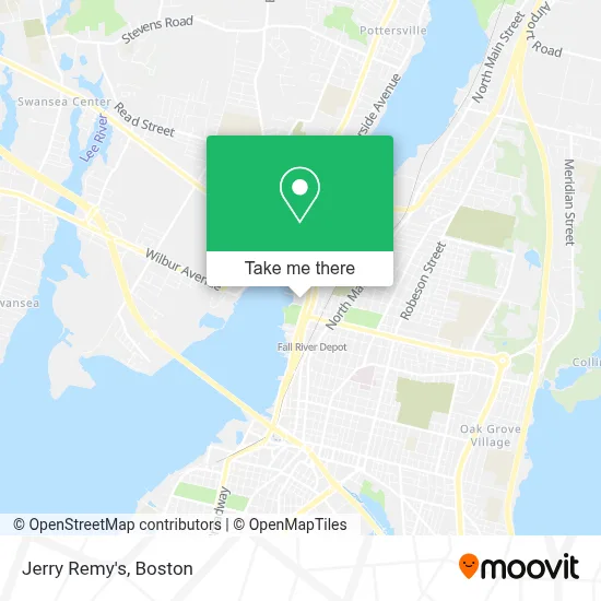
See Jerry Remy's, Fall River, on the map
Public Transit to Jerry Remy's in Fall River
Wondering how to get to Jerry Remy's in Fall River? Moovit helps you find the best way to get to Jerry Remy's with step-by-step directions from the nearest public transit station.
Moovit provides free maps and live directions to help you navigate through your city. View schedules, routes, timetables, and find out how long does it take to get to Jerry Remy's in real time.
Looking for the nearest stop or station to Jerry Remy's? Check out this list of stops closest to your destination: N Main St And Odd St; Commonwealth Landing; Fall River Depot.
Bus: 102, 9, PETER PAN, 114.Train: FALL RIVER/NEW BEDFORD.
Want to see if there’s another route that gets you there at an earlier time? Moovit helps you find alternative routes or times. Get directions from and directions to Jerry Remy's easily from the Moovit App or Website.
We make riding to Jerry Remy's easy, which is why over 1.7 million users, including users in Fall River, trust Moovit as the best app for public transit. You don’t need to download an individual bus app or train app, Moovit is your all-in-one transit app that helps you find the best bus time or train time available.
For information on prices of bus and train, costs and ride fares to Jerry Remy's, please check the Moovit app.
Use the app to navigate to popular places including to the airport, hospital, stadium, grocery store, mall, coffee shop, school, college, and university.
Jerry Remy's Address: 1108 Davol St street in Fall River
- Century 21,
- Iwo Jima Memorial,
- Penske Truck Rental,
- N. Fall River/Somerset,
- Humble Crownz,
- Brad's Auto Service,
- The Black Rose Barbershop,
- Knoxx Realty,
- Recovery Connection,
- Marine Corps Recruiting,
- Lamacchia Realty - Fall River,
- Expert Locksmiths Locksmith,
- Klever Kutz,
- Bread Brazilian Bakery,
- City Cycle Studio,
- Hair Design by Sue at Ledoux & Co,
- Crystal Tessier, LMT,
- Sam Karam and Sons General Contractors,
- Libertyx Bitcoin ATM,
- Fall River Depot MBTA Station
Places Near Jerry Remy's (Fall River)
- Isabella Stewart Gardner Museum, Boston,
- Wang Theater, Boston,
- House Of Blues, Boston,
- Cheers, Boston,
- Faneuil Hall, Boston,
- Leader Bank Pavilion (Leader Bank Pavillion), Boston,
- Td Garden, Boston,
- Castle Island, Boston,
- Massachusetts General Hospital, Boston,
- Mgm Music Hall, Boston,
- Prudential Center, Boston,
- North End, Boston,
- Museum Of Science, Boston,
- Seaport District, Boston,
- Boston Children's Hospital, Boston,
- Quincy Market, Boston,
- Boston Common, Boston,
- Boston Medical Center, Boston,
- Boston Convention & Exhibition Center, Boston,
- Wilbur Theatre, Boston
How to get to popular places in Boston with public transit
Get around Fall River by public transit!
Traveling around Fall River has never been so easy. See step by step directions as you travel to any attraction, street or major public transit station. View bus and train schedules, arrival times, service alerts and detailed routes on a map, so you know exactly how to get to anywhere in Fall River.
When traveling to any destination around Fall River use Moovit's Live Directions with Get Off Notifications to know exactly where and how far to walk, how long to wait for your line, and how many stops are left. Moovit will alert you when it's time to get off — no need to constantly re-check whether yours is the next stop.
Wondering how to use public transit in Fall River or how to pay for public transit in Fall River? Moovit public transit app can help you navigate your way with public transit easily, and at minimum cost. It includes public transit fees, ticket prices, and costs. Looking for a map of Fall River public transit lines? Moovit public transit app shows all public transit maps in Fall River with all Bus, Train, Subway and Ferry routes and stops on an interactive map.
Boston has 4 transit type(s), including: Bus, Train, Subway and Ferry, operated by several transit agencies, including MBTA, Southeastern Regional Transit Authority, MetroWest Regional Transit Authority, Rhode Island Public Transit Authority, WRTA, Lowell Regional Transit Authority, Merrimack Valley Transit, Montachusett Regional Transit Authority, Cape Cod Regional Transit Authority, Brockton Area Transit Authority, Martha's Vineyard Transit Authority, the WAVE - Nantucket Regional Transit Authority, GATRA, Cape Ann Transportation Authority and Massport