How to get to Jfa Excavation by bus?
Click on the bus route to see step by step directions with maps, line arrival times and updated time schedules.
From Nahant Beach, Nahant
43 minFrom Revere Beach, Revere
57 minFrom Four Points by Sheraton Boston Logan Airport, Revere
73 minFrom Comfort Inn & Suites Logan International Airport, Revere
59 minFrom Uscis Biometrics Office, Revere
60 minFrom GE Aviation, Lynn
54 minFrom 7F Everett Street, Revere
61 minFrom Malden Catholic High School, Malden
84 min
Bus stops near Jfa Excavation in Lynn
What are the closest stations to Jfa Excavation?
The closest stations to Jfa Excavation are:
- Lynnfield St @ Verdmont Ave is 522 yards away, 7 min walk.
- Broadway @ Bay State Rd is 1506 yards away, 18 min walk.
Which bus line stops near Jfa Excavation?
436 (North Shore Mall Via Lynnfield St)
What’s the nearest bus station to Jfa Excavation in Lynn?
The nearest bus station to Jfa Excavation in Lynn is Lynnfield St @ Verdmont Ave. It’s a 7 min walk away.
What time is the first bus to Jfa Excavation in Lynn?
The 435 is the first bus that goes to Jfa Excavation in Lynn. It stops nearby at 6:15 AM.
What time is the last bus to Jfa Excavation in Lynn?
The 435 is the last bus that goes to Jfa Excavation in Lynn. It stops nearby at 11:33 PM.
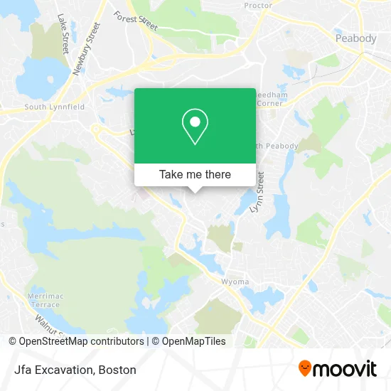
See Jfa Excavation, Lynn, on the map
Public Transit to Jfa Excavation in Lynn
Wondering how to get to Jfa Excavation in Lynn? Moovit helps you find the best way to get to Jfa Excavation with step-by-step directions from the nearest public transit station.
Moovit provides free maps and live directions to help you navigate through your city. View schedules, routes, timetables, and find out how long does it take to get to Jfa Excavation in real time.
Looking for the nearest stop or station to Jfa Excavation? Check out this list of stops closest to your destination: Lynnfield St @ Verdmont Ave; Broadway @ Bay State Rd.
Bus: 436, 435.
Want to see if there’s another route that gets you there at an earlier time? Moovit helps you find alternative routes or times. Get directions from and directions to Jfa Excavation easily from the Moovit App or Website.
We make riding to Jfa Excavation easy, which is why over 1.7 million users, including users in Lynn, trust Moovit as the best app for public transit. You don’t need to download an individual bus app or train app, Moovit is your all-in-one transit app that helps you find the best bus time or train time available.
For information on prices of bus, costs and ride fares to Jfa Excavation, please check the Moovit app.
Use the app to navigate to popular places including to the airport, hospital, stadium, grocery store, mall, coffee shop, school, college, and university.
Jfa Excavation Address: 34 Cannon Rock Rd street in Lynn
- Lynnfield St Market,
- USPS Collection Box - Blue Box,
- George Dyer Leather LL,
- Walsh's Oil,
- Coaching Into Transformation,
- GLSS Adult Day Health at Briarcliff,
- Double D Designs,
- Oogie Boogie Productions,
- Donatello's Restaurant,
- RP General Services Inc / Deck-Porch-Patios,
- Candelero de Dios.,
- Jme Gutters and Sheet Metal,
- Lanzillos Lawn Care,
- Vazquez Contracting,
- Victoria Boston Cleaning,
- De Cleaning and Painting Services,
- J&L Landscaping & Fencing Services,
- Dupont Home Improvement,
- Rinaldi Handyman Services,
- Tito's Masonry & Landscaping
Places Near Jfa Excavation (Lynn)
- Massachusetts General Hospital, Boston,
- Boston Common, Boston,
- Prudential Center, Boston,
- Td Garden, Boston,
- Boston Medical Center, Boston,
- Boston Children's Hospital, Boston,
- House Of Blues, Boston,
- Boston Convention & Exhibition Center, Boston,
- Museum Of Science, Boston,
- Wang Theater, Boston,
- Isabella Stewart Gardner Museum, Boston,
- Quincy Market, Boston,
- Leader Bank Pavilion (Leader Bank Pavillion), Boston,
- Cheers, Boston,
- Castle Island, Boston,
- North End, Boston,
- Mgm Music Hall, Boston,
- Wilbur Theatre, Boston,
- Seaport District, Boston,
- Faneuil Hall, Boston
How to get to popular places in Boston with public transit
Get around Lynn by public transit!
Traveling around Lynn has never been so easy. See step by step directions as you travel to any attraction, street or major public transit station. View bus and train schedules, arrival times, service alerts and detailed routes on a map, so you know exactly how to get to anywhere in Lynn.
When traveling to any destination around Lynn use Moovit's Live Directions with Get Off Notifications to know exactly where and how far to walk, how long to wait for your line, and how many stops are left. Moovit will alert you when it's time to get off — no need to constantly re-check whether yours is the next stop.
Wondering how to use public transit in Lynn or how to pay for public transit in Lynn? Moovit public transit app can help you navigate your way with public transit easily, and at minimum cost. It includes public transit fees, ticket prices, and costs. Looking for a map of Lynn public transit lines? Moovit public transit app shows all public transit maps in Lynn with all Bus, Train, Subway and Ferry routes and stops on an interactive map.
Boston has 4 transit type(s), including: Bus, Train, Subway and Ferry, operated by several transit agencies, including MBTA, Southeastern Regional Transit Authority, MetroWest Regional Transit Authority, Rhode Island Public Transit Authority, WRTA, Lowell Regional Transit Authority, Merrimack Valley Transit, Montachusett Regional Transit Authority, Cape Cod Regional Transit Authority, Brockton Area Transit Authority, Martha's Vineyard Transit Authority, the WAVE - Nantucket Regional Transit Authority, GATRA, Cape Ann Transportation Authority and Massport