How to get to Jj Wireless by bus?
Click on the bus route to see step by step directions with maps, line arrival times and updated time schedules.
From Beth Israel Deaconess Medical Center, Brookline
78 minFrom Arsenal Yards, Watertown Town
94 minFrom Jordan Hall, Boston
57 minFrom Arsenal Mall, Watertown Town
94 minFrom Nahant Beach, Nahant
71 minFrom Jamaica Plain, Boston
75 minFrom Franklin Park, Boston
76 minFrom Inman Sq, Cambridge
53 minFrom The Lenox Hotel - Boston, Boston
47 minFrom Childrens Museum, Boston
63 min
How to get to Jj Wireless by subway?
Click on the subway route to see step by step directions with maps, line arrival times and updated time schedules.
Bus stops near Jj Wireless in Chelsea
Subway station near Jj Wireless in Chelsea
- Airport, 13 min walk,VIEW
Train station near Jj Wireless in Chelsea
- Chelsea, 56 min walk,VIEW
Bus lines to Jj Wireless in Chelsea
What are the closest stations to Jj Wireless?
The closest stations to Jj Wireless are:
- Pearl St @ Marginal St is 30 yards away, 1 min walk.
- 150 Captains Row is 201 yards away, 3 min walk.
- Park St @ Williams St is 243 yards away, 3 min walk.
- Cross St @ Broadway is 313 yards away, 4 min walk.
- Airport is 1051 yards away, 13 min walk.
- Chelsea is 4703 yards away, 56 min walk.
Which bus lines stop near Jj Wireless?
These bus lines stop near Jj Wireless: 104, 111, 116.
Which subway line stops near Jj Wireless?
BLUE LINE (Wonderland)
What’s the nearest subway station to Jj Wireless in Chelsea?
The nearest subway station to Jj Wireless in Chelsea is Airport. It’s a 13 min walk away.
What’s the nearest bus station to Jj Wireless in Chelsea?
The nearest bus station to Jj Wireless in Chelsea is Pearl St @ Marginal St. It’s a 1 min walk away.
What time is the first subway to Jj Wireless in Chelsea?
The BLUE LINE is the first subway that goes to Jj Wireless in Chelsea. It stops nearby at 5:10 AM.
What time is the last subway to Jj Wireless in Chelsea?
The BLUE LINE is the last subway that goes to Jj Wireless in Chelsea. It stops nearby at 2:01 AM.
What time is the first train to Jj Wireless in Chelsea?
The NEWBURYPORT/ROCKPORT is the first train that goes to Jj Wireless in Chelsea. It stops nearby at 5:40 AM.
What time is the last train to Jj Wireless in Chelsea?
The NEWBURYPORT/ROCKPORT is the last train that goes to Jj Wireless in Chelsea. It stops nearby at 12:06 AM.
What time is the first bus to Jj Wireless in Chelsea?
The 104 is the first bus that goes to Jj Wireless in Chelsea. It stops nearby at 4:34 AM.
What time is the last bus to Jj Wireless in Chelsea?
The 111 is the last bus that goes to Jj Wireless in Chelsea. It stops nearby at 2:26 AM.
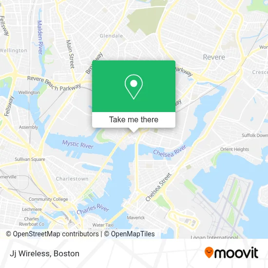
See Jj Wireless, Chelsea, on the map
Public Transit to Jj Wireless in Chelsea
Wondering how to get to Jj Wireless in Chelsea? Moovit helps you find the best way to get to Jj Wireless with step-by-step directions from the nearest public transit station.
Moovit provides free maps and live directions to help you navigate through your city. View schedules, routes, timetables, and find out how long does it take to get to Jj Wireless in real time.
Looking for the nearest stop or station to Jj Wireless? Check out this list of stops closest to your destination: Pearl St @ Marginal St; 150 Captains Row; Park St @ Williams St; Cross St @ Broadway; Airport; Chelsea.
Bus: 104, 111, 116, 114, 112.Train: NEWBURYPORT/ROCKPORT.Subway: BLUE LINE.
Want to see if there’s another route that gets you there at an earlier time? Moovit helps you find alternative routes or times. Get directions from and directions to Jj Wireless easily from the Moovit App or Website.
We make riding to Jj Wireless easy, which is why over 1.7 million users, including users in Chelsea, trust Moovit as the best app for public transit. You don’t need to download an individual bus app or train app, Moovit is your all-in-one transit app that helps you find the best bus time or train time available.
For information on prices of bus and subway, costs and ride fares to Jj Wireless, please check the Moovit app.
Use the app to navigate to popular places including to the airport, hospital, stadium, grocery store, mall, coffee shop, school, college, and university.
Jj Wireless Address: 156 Broadway street in Chelsea
- Hadassa Aesthetic Center & Spa,
- DUNKIN',
- Coinstar,
- Chelsea District Court,
- Lafountain & Wollman P.C.,
- Chelsea District Court (Chelsea Police Detective Bur),
- Peking Garden Restaurant of Revere,
- Credit Union 1,
- 115 Broadway Parking,
- KeyMe,
- Amazon Locker-Anjali,
- The Reginald Condominiums,
- Broadway Studios,
- El Kiosco Signature Steakhouse & Seafood,
- Tobin Bridge NB Lower Deck To Rte 1 Beacon St Exit,
- Antique Lumber of New England,
- La Tienda Bar,
- Lime,
- Pearl Street Gallery,
- Exchange Building the
Places Near Jj Wireless (Chelsea)
- Faneuil Hall, Boston,
- Castle Island, Boston,
- House Of Blues, Boston,
- Quincy Market, Boston,
- Boston Convention & Exhibition Center, Boston,
- Boston Medical Center, Boston,
- Td Garden, Boston,
- Boston Children's Hospital, Boston,
- Mgm Music Hall, Boston,
- Prudential Center, Boston,
- Wang Theater, Boston,
- Isabella Stewart Gardner Museum, Boston,
- Boston Common, Boston,
- Leader Bank Pavilion (Leader Bank Pavillion), Boston,
- Cheers, Boston,
- Massachusetts General Hospital, Boston,
- Wilbur Theatre, Boston,
- Museum Of Science, Boston,
- North End, Boston,
- Seaport District, Boston
How to get to popular places in Boston with public transit
Get around Chelsea by public transit!
Traveling around Chelsea has never been so easy. See step by step directions as you travel to any attraction, street or major public transit station. View bus and train schedules, arrival times, service alerts and detailed routes on a map, so you know exactly how to get to anywhere in Chelsea.
When traveling to any destination around Chelsea use Moovit's Live Directions with Get Off Notifications to know exactly where and how far to walk, how long to wait for your line, and how many stops are left. Moovit will alert you when it's time to get off — no need to constantly re-check whether yours is the next stop.
Wondering how to use public transit in Chelsea or how to pay for public transit in Chelsea? Moovit public transit app can help you navigate your way with public transit easily, and at minimum cost. It includes public transit fees, ticket prices, and costs. Looking for a map of Chelsea public transit lines? Moovit public transit app shows all public transit maps in Chelsea with all Bus, Train, Subway and Ferry routes and stops on an interactive map.
Boston has 4 transit type(s), including: Bus, Train, Subway and Ferry, operated by several transit agencies, including MBTA, Southeastern Regional Transit Authority, MetroWest Regional Transit Authority, Rhode Island Public Transit Authority, WRTA, Lowell Regional Transit Authority, Merrimack Valley Transit, Montachusett Regional Transit Authority, Cape Cod Regional Transit Authority, Brockton Area Transit Authority, Martha's Vineyard Transit Authority, the WAVE - Nantucket Regional Transit Authority, GATRA, Cape Ann Transportation Authority and Massport