Directions to Joe's Auto Body & Repair (Worcester) with public transportation
The following transit lines have routes that pass near Joe's Auto Body & Repair
 Bus: 19, 6, GREYHOUND US0230, 7, 27.
- Train: FRAMINGHAM/WORCESTER.
How to get to Joe's Auto Body & Repair by bus?
Click on the bus route to see step by step directions with maps, line arrival times and updated time schedules.
Bus stops near Joe's Auto Body & Repair in Worcester
Bus lines to Joe's Auto Body & Repair in Worcester
What are the closest stations to Joe's Auto Body & Repair?
The closest stations to Joe's Auto Body & Repair are:
- Chandler St at Irving is 277 yards away, 4 min walk.
- Main St + Hermon St is 361 yards away, 5 min walk.
- Southbridge St + Lafayette St is 595 yards away, 8 min walk.
Which bus lines stop near Joe's Auto Body & Repair?
These bus lines stop near Joe's Auto Body & Repair: 19, 6, GREYHOUND US0230.
Which train line stops near Joe's Auto Body & Repair?
FRAMINGHAM/WORCESTER (#525 | Worcester)
What’s the nearest bus station to Joe's Auto Body & Repair in Worcester?
The nearest bus station to Joe's Auto Body & Repair in Worcester is Chandler St at Irving. It’s a 4 min walk away.
What time is the first bus to Joe's Auto Body & Repair in Worcester?
The 27 is the first bus that goes to Joe's Auto Body & Repair in Worcester. It stops nearby at 5:13 AM.
What time is the last bus to Joe's Auto Body & Repair in Worcester?
The 19 is the last bus that goes to Joe's Auto Body & Repair in Worcester. It stops nearby at 10:48 PM.
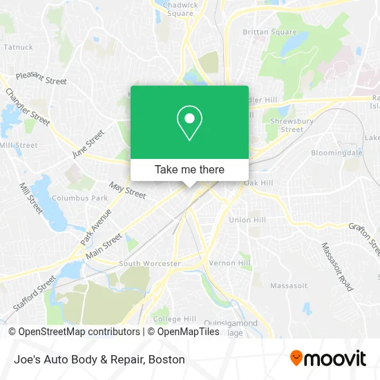
See Joe's Auto Body & Repair, Worcester, on the map
Public Transit to Joe's Auto Body & Repair in Worcester
Wondering how to get to Joe's Auto Body & Repair in Worcester? Moovit helps you find the best way to get to Joe's Auto Body & Repair with step-by-step directions from the nearest public transit station.
Moovit provides free maps and live directions to help you navigate through your city. View schedules, routes, timetables, and find out how long does it take to get to Joe's Auto Body & Repair in real time.
Looking for the nearest stop or station to Joe's Auto Body & Repair? Check out this list of stops closest to your destination: Chandler St at Irving; Main St + Hermon St; Southbridge St + Lafayette St.
Bus: 19, 6, GREYHOUND US0230, 7, 27, 33, 29, 42, 825.Train: FRAMINGHAM/WORCESTER.
Want to see if there’s another route that gets you there at an earlier time? Moovit helps you find alternative routes or times. Get directions from and directions to Joe's Auto Body & Repair easily from the Moovit App or Website.
We make riding to Joe's Auto Body & Repair easy, which is why over 1.7 million users, including users in Worcester, trust Moovit as the best app for public transit. You don’t need to download an individual bus app or train app, Moovit is your all-in-one transit app that helps you find the best bus time or train time available.
For information on prices of bus and train, costs and ride fares to Joe's Auto Body & Repair, please check the Moovit app.
Use the app to navigate to popular places including to the airport, hospital, stadium, grocery store, mall, coffee shop, school, college, and university.
Joe's Auto Body & Repair Address: 38 Hermon St street in Worcester
- Iglesia Misionera Ciudad Santa Worcester,
- Church of God,
- Gasket Express,
- Ebenezer Church,
- Centro,
- Wonder Dollar,
- All American Family Transport,
- Luna's Beauty Salon,
- Elite Financial,
- Sem Insurance Agency,
- Encanto Latino Restaurant,
- Worx Printing Cooperative,
- The North Face,
- Worcester Rent To Own,
- Jacob Hiatt Magnet,
- Emperors Gentlemen's Club,
- Eazy Company,
- Action Praise Ministries International,
- Bengie Studios,
- Furst Baumeister Associates
Places Near Joe's Auto Body & Repair (Worcester)
- Boston Medical Center, Boston,
- Faneuil Hall, Boston,
- North End, Boston,
- Td Garden, Boston,
- Isabella Stewart Gardner Museum, Boston,
- House Of Blues, Boston,
- Wang Theater, Boston,
- Cheers, Boston,
- Wilbur Theatre, Boston,
- Quincy Market, Boston,
- Boston Convention & Exhibition Center, Boston,
- Museum Of Science, Boston,
- Leader Bank Pavilion (Leader Bank Pavillion), Boston,
- Massachusetts General Hospital, Boston,
- Mgm Music Hall, Boston,
- Castle Island, Boston,
- Seaport District, Boston,
- Boston Children's Hospital, Boston,
- Boston Common, Boston,
- Prudential Center, Boston
How to get to popular places in Boston with public transit
Get around Worcester by public transit!
Traveling around Worcester has never been so easy. See step by step directions as you travel to any attraction, street or major public transit station. View bus and train schedules, arrival times, service alerts and detailed routes on a map, so you know exactly how to get to anywhere in Worcester.
When traveling to any destination around Worcester use Moovit's Live Directions with Get Off Notifications to know exactly where and how far to walk, how long to wait for your line, and how many stops are left. Moovit will alert you when it's time to get off — no need to constantly re-check whether yours is the next stop.
Wondering how to use public transit in Worcester or how to pay for public transit in Worcester? Moovit public transit app can help you navigate your way with public transit easily, and at minimum cost. It includes public transit fees, ticket prices, and costs. Looking for a map of Worcester public transit lines? Moovit public transit app shows all public transit maps in Worcester with all Bus, Train, Subway and Ferry routes and stops on an interactive map.
Boston has 4 transit type(s), including: Bus, Train, Subway and Ferry, operated by several transit agencies, including MBTA, Southeastern Regional Transit Authority, MetroWest Regional Transit Authority, Rhode Island Public Transit Authority, WRTA, Lowell Regional Transit Authority, Merrimack Valley Transit, Montachusett Regional Transit Authority, Cape Cod Regional Transit Authority, Brockton Area Transit Authority, Martha's Vineyard Transit Authority, the WAVE - Nantucket Regional Transit Authority, GATRA, Cape Ann Transportation Authority and Massport