How to get to Joggles.Com Inc by bus?
Click on the bus route to see step by step directions with maps, line arrival times and updated time schedules.
Bus stop near Joggles.Com Inc in Boston
- Main Opposite S Main, 8 min walk,VIEW
Bus lines to Joggles.Com Inc in Boston
- 13, Ccri Warwick,VIEW
What are the closest stations to Joggles.Com Inc?
The closest stations to Joggles.Com Inc are:
- Main Opposite S Main is 576 yards away, 8 min walk.
Which bus lines stop near Joggles.Com Inc?
These bus lines stop near Joggles.Com Inc: 13, 23.
What’s the nearest bus station to Joggles.Com Inc in Boston?
The nearest bus station to Joggles.Com Inc in Boston is Main Opposite S Main. It’s a 8 min walk away.
What time is the first bus to Joggles.Com Inc in Boston?
The 13 is the first bus that goes to Joggles.Com Inc in Boston. It stops nearby at 5:32 AM.
What time is the last bus to Joggles.Com Inc in Boston?
The 13 is the last bus that goes to Joggles.Com Inc in Boston. It stops nearby at 10:01 PM.
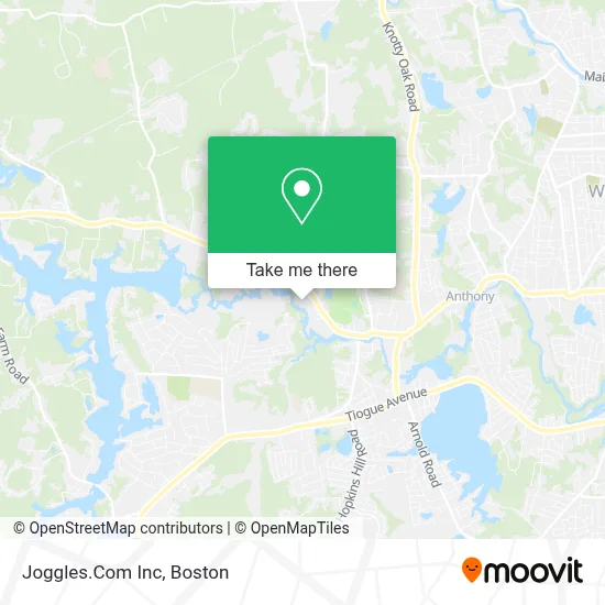
See Joggles.Com Inc, Boston, on the map
Public Transit to Joggles.Com Inc in Boston
Wondering how to get to Joggles.Com Inc in Boston? Moovit helps you find the best way to get to Joggles.Com Inc with step-by-step directions from the nearest public transit station.
Moovit provides free maps and live directions to help you navigate through your city. View schedules, routes, timetables, and find out how long does it take to get to Joggles.Com Inc in real time.
Looking for the nearest stop or station to Joggles.Com Inc? Check out this list of stops closest to your destination: Main Opposite S Main.
Bus: 13, 23.
Want to see if there’s another route that gets you there at an earlier time? Moovit helps you find alternative routes or times. Get directions from and directions to Joggles.Com Inc easily from the Moovit App or Website.
We make riding to Joggles.Com Inc easy, which is why over 1.7 million users, including users in Boston, trust Moovit as the best app for public transit. You don’t need to download an individual bus app or train app, Moovit is your all-in-one transit app that helps you find the best bus time or train time available.
For information on prices of bus, costs and ride fares to Joggles.Com Inc, please check the Moovit app.
Use the app to navigate to popular places including to the airport, hospital, stadium, grocery store, mall, coffee shop, school, college, and university.
Joggles.Com Inc Address: 1372 Main St street in Boston
- Don's Shopping Service,
- Marine Corps League,
- South Shore Village Ri,
- Aussie Pet Mobile,
- Greg Abate,
- 21st Century Solutions To Today's,
- Ezra Locks & Key Locksmith,
- Lifesafer Ignition Interlock,
- Interstate Batteries,
- Sway Yoga + Wellness,
- The Sweet Spot Nutriti,
- Bankri,
- Munroe Custom Design,
- VFW,
- Foster Field,
- The Lighthouse,
- Richard's Oil Company,
- LUKOIL,
- Coventry Wood Shake Roof Installed & Repair,
- Bitcoin Depot Bitcoin Atm
Places Near Joggles.Com Inc (Boston)
- Mgm Music Hall, Boston,
- Wilbur Theatre, Boston,
- Boston Children's Hospital, Boston,
- Wang Theater, Boston,
- Leader Bank Pavilion (Leader Bank Pavillion), Boston,
- North End, Boston,
- Prudential Center, Boston,
- Isabella Stewart Gardner Museum, Boston,
- Seaport District, Boston,
- Boston Medical Center, Boston,
- Td Garden, Boston,
- Cheers, Boston,
- Quincy Market, Boston,
- House Of Blues, Boston,
- Massachusetts General Hospital, Boston,
- Castle Island, Boston,
- Faneuil Hall, Boston,
- Boston Convention & Exhibition Center, Boston,
- Boston Common, Boston,
- Museum Of Science, Boston
How to get to popular places in Boston with public transit
Get around Boston by public transit!
Traveling around Boston has never been so easy. See step by step directions as you travel to any attraction, street or major public transit station. View bus and train schedules, arrival times, service alerts and detailed routes on a map, so you know exactly how to get to anywhere in Boston.
When traveling to any destination around Boston use Moovit's Live Directions with Get Off Notifications to know exactly where and how far to walk, how long to wait for your line, and how many stops are left. Moovit will alert you when it's time to get off — no need to constantly re-check whether yours is the next stop.
Wondering how to use public transit in Boston or how to pay for public transit in Boston? Moovit public transit app can help you navigate your way with public transit easily, and at minimum cost. It includes public transit fees, ticket prices, and costs. Looking for a map of Boston public transit lines? Moovit public transit app shows all public transit maps in Boston with all Bus, Train, Subway and Ferry routes and stops on an interactive map.
Boston has 4 transit type(s), including: Bus, Train, Subway and Ferry, operated by several transit agencies, including MBTA, Southeastern Regional Transit Authority, MetroWest Regional Transit Authority, Rhode Island Public Transit Authority, WRTA, Lowell Regional Transit Authority, Merrimack Valley Transit, Montachusett Regional Transit Authority, Cape Cod Regional Transit Authority, Brockton Area Transit Authority, Martha's Vineyard Transit Authority, the WAVE - Nantucket Regional Transit Authority, GATRA, Cape Ann Transportation Authority and Massport