Directions to Joshua Doty (Quincy) with public transportation
The following transit lines have routes that pass near Joshua Doty
 Bus: 215, 217.
- Train: GREENBUSH.
- Subway: RED LINE, MATTAPAN LINE.
How to get to Joshua Doty by bus?
Click on the bus route to see step by step directions with maps, line arrival times and updated time schedules.
From Rosie's Place, Boston
61 minFrom Dorchester District Court, Boston
30 minFrom Curry College, Milton
73 minFrom The Monument, Boston
44 minFrom MBTA Jackson Square Station, Boston
40 minFrom MSPCA Angell Animal Medical Center, Boston
53 minFrom Samuel Adams Brewery, Boston
45 minFrom Roxbury Community College, Boston
44 minFrom Angell Animal Medical Center (Mspca Angell), Boston
52 minFrom Mspca, Boston
52 min
How to get to Joshua Doty by train?
Click on the train route to see step by step directions with maps, line arrival times and updated time schedules.
How to get to Joshua Doty by subway?
Click on the subway route to see step by step directions with maps, line arrival times and updated time schedules.
From Rosie's Place, Boston
70 minFrom Dorchester District Court, Boston
62 minFrom The Monument, Boston
80 minFrom MBTA Jackson Square Station, Boston
65 minFrom MSPCA Angell Animal Medical Center, Boston
83 minFrom Samuel Adams Brewery, Boston
72 minFrom Roxbury Community College, Boston
66 minFrom Angell Animal Medical Center (Mspca Angell), Boston
81 minFrom Mspca, Boston
81 min
Bus stops near Joshua Doty in Quincy
What are the closest stations to Joshua Doty?
The closest stations to Joshua Doty are:
- Willard St @ California Ave is 154 yards away, 2 min walk.
- Robertson St Opp Kimball St is 417 yards away, 6 min walk.
- North Quincy is 2706 yards away, 32 min walk.
- Milton is 3123 yards away, 37 min walk.
Which bus line stops near Joshua Doty?
215 (Quincy Center)
Which train line stops near Joshua Doty?
GREENBUSH (#1061 | Greenbush)
Which subway line stops near Joshua Doty?
RED LINE (Ashmont/Braintree)
What’s the nearest bus station to Joshua Doty in Quincy?
The nearest bus station to Joshua Doty in Quincy is Willard St @ California Ave. It’s a 2 min walk away.
What time is the first subway to Joshua Doty in Quincy?
The MATTAPAN LINE is the first subway that goes to Joshua Doty in Quincy. It stops nearby at 5:04 AM.
What time is the last subway to Joshua Doty in Quincy?
The MATTAPAN LINE is the last subway that goes to Joshua Doty in Quincy. It stops nearby at 2:36 AM.
What time is the first bus to Joshua Doty in Quincy?
The 215 is the first bus that goes to Joshua Doty in Quincy. It stops nearby at 5:14 AM.
What time is the last bus to Joshua Doty in Quincy?
The 215 is the last bus that goes to Joshua Doty in Quincy. It stops nearby at 1:10 AM.
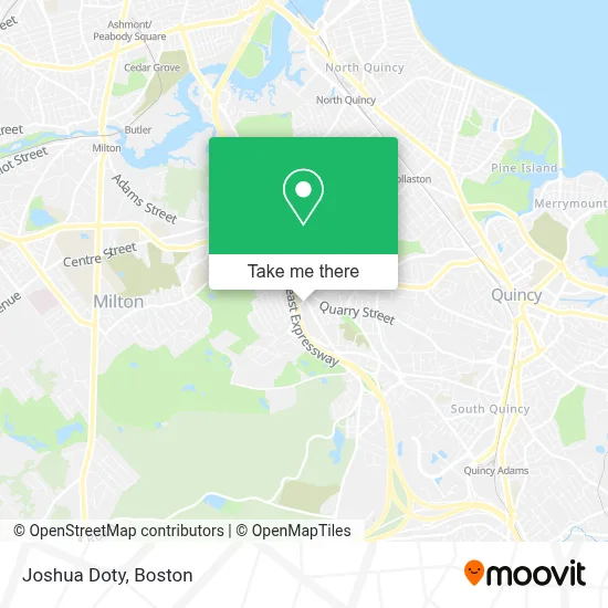
See Joshua Doty, Quincy, on the map
Public Transit to Joshua Doty in Quincy
Wondering how to get to Joshua Doty in Quincy? Moovit helps you find the best way to get to Joshua Doty with step-by-step directions from the nearest public transit station.
Moovit provides free maps and live directions to help you navigate through your city. View schedules, routes, timetables, and find out how long does it take to get to Joshua Doty in real time.
Looking for the nearest stop or station to Joshua Doty? Check out this list of stops closest to your destination: Willard St @ California Ave; Robertson St Opp Kimball St; North Quincy; Milton.
Bus: 215, 217.Train: GREENBUSH.Subway: RED LINE, MATTAPAN LINE.
Want to see if there’s another route that gets you there at an earlier time? Moovit helps you find alternative routes or times. Get directions from and directions to Joshua Doty easily from the Moovit App or Website.
We make riding to Joshua Doty easy, which is why over 1.7 million users, including users in Quincy, trust Moovit as the best app for public transit. You don’t need to download an individual bus app or train app, Moovit is your all-in-one transit app that helps you find the best bus time or train time available.
For information on prices of bus, subway and train, costs and ride fares to Joshua Doty, please check the Moovit app.
Use the app to navigate to popular places including to the airport, hospital, stadium, grocery store, mall, coffee shop, school, college, and university.
Joshua Doty Address: 111 Willard St street in Quincy
- Quincy Locksmith Shop,
- Ballast Kitchen & Bar,
- Darcy's Pub,
- Clark Chiropractic Inc,
- The Home Depot,
- Home Depot Quincy,
- Bjorklund & Reilly Insurance Agency,
- Law Offices of Courtney C. Linnehan,
- Footprints Kids Yoga,
- Pyramid Builders Counseling Services,
- FedEx,
- Ace Pavement Marking Inc,
- Crime Scene Cleanup Massachusetts,
- Dwi Defense,
- Quincy Youth Baseball & Softball,
- Granite Railway Inclined Plane,
- Peak Physical Therapy and Sports Performance,
- Locksmith Guy,
- Dragan and Associates,
- No Relation
Places Near Joshua Doty (Quincy)
- Boston Children's Hospital, Boston,
- Museum Of Science, Boston,
- Wang Theater, Boston,
- House Of Blues, Boston,
- Boston Medical Center, Boston,
- Td Garden, Boston,
- Massachusetts General Hospital, Boston,
- Mgm Music Hall, Boston,
- Wilbur Theatre, Boston,
- Seaport District, Boston,
- Boston Convention & Exhibition Center, Boston,
- Cheers, Boston,
- Quincy Market, Boston,
- Isabella Stewart Gardner Museum, Boston,
- Castle Island, Boston,
- Leader Bank Pavilion (Leader Bank Pavillion), Boston,
- North End, Boston,
- Faneuil Hall, Boston,
- Boston Common, Boston,
- Prudential Center, Boston
How to get to popular places in Boston with public transit
Get around Quincy by public transit!
Traveling around Quincy has never been so easy. See step by step directions as you travel to any attraction, street or major public transit station. View bus and train schedules, arrival times, service alerts and detailed routes on a map, so you know exactly how to get to anywhere in Quincy.
When traveling to any destination around Quincy use Moovit's Live Directions with Get Off Notifications to know exactly where and how far to walk, how long to wait for your line, and how many stops are left. Moovit will alert you when it's time to get off — no need to constantly re-check whether yours is the next stop.
Wondering how to use public transit in Quincy or how to pay for public transit in Quincy? Moovit public transit app can help you navigate your way with public transit easily, and at minimum cost. It includes public transit fees, ticket prices, and costs. Looking for a map of Quincy public transit lines? Moovit public transit app shows all public transit maps in Quincy with all Bus, Train, Subway and Ferry routes and stops on an interactive map.
Boston has 4 transit type(s), including: Bus, Train, Subway and Ferry, operated by several transit agencies, including MBTA, Southeastern Regional Transit Authority, MetroWest Regional Transit Authority, Rhode Island Public Transit Authority, WRTA, Lowell Regional Transit Authority, Merrimack Valley Transit, Montachusett Regional Transit Authority, Cape Cod Regional Transit Authority, Brockton Area Transit Authority, Martha's Vineyard Transit Authority, the WAVE - Nantucket Regional Transit Authority, GATRA, Cape Ann Transportation Authority and Massport