How to get to Junkdispatch by bus?
Click on the bus route to see step by step directions with maps, line arrival times and updated time schedules.
From Bow Market, Somerville
71 minFrom East Boston, Boston
72 minFrom Sunrise Shuttle Pick Up, Boston
79 minFrom The Burren, Somerville
70 minFrom Embassy Suites Boston At Logan, Boston
75 minFrom Holiday Inn Express & Suites Boston - Cambridge, Cambridge
91 minFrom Costco, Everett
63 minFrom Assembly Row, Somerville
68 minFrom Cambridge Crossing, Cambridge
70 minFrom Hilton Boston Logan Airport, Boston
71 min
How to get to Junkdispatch by train?
Click on the train route to see step by step directions with maps, line arrival times and updated time schedules.
Bus stops near Junkdispatch in Saugus
Bus lines to Junkdispatch in Saugus
What are the closest stations to Junkdispatch?
The closest stations to Junkdispatch are:
- Waverly Ave @ Simonds Rd is 112 yards away, 2 min walk.
- Square One Mall @ Sears is 1121 yards away, 14 min walk.
Which bus lines stop near Junkdispatch?
These bus lines stop near Junkdispatch: 131, 429, 430.
Which train line stops near Junkdispatch?
HAVERHILL (#229 | Haverhill)
What’s the nearest bus station to Junkdispatch in Saugus?
The nearest bus station to Junkdispatch in Saugus is Waverly Ave @ Simonds Rd. It’s a 2 min walk away.
What time is the first bus to Junkdispatch in Saugus?
The 131 is the first bus that goes to Junkdispatch in Saugus. It stops nearby at 6:23 AM.
What time is the last bus to Junkdispatch in Saugus?
The 429 is the last bus that goes to Junkdispatch in Saugus. It stops nearby at 10:43 PM.
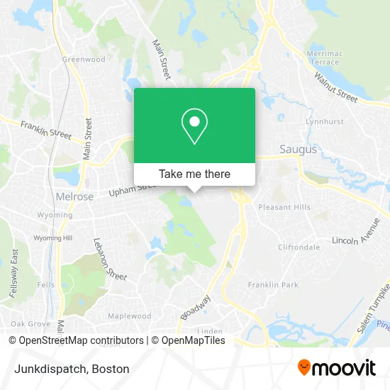
See Junkdispatch, Saugus, on the map
Public Transit to Junkdispatch in Saugus
Wondering how to get to Junkdispatch in Saugus? Moovit helps you find the best way to get to Junkdispatch with step-by-step directions from the nearest public transit station.
Moovit provides free maps and live directions to help you navigate through your city. View schedules, routes, timetables, and find out how long does it take to get to Junkdispatch in real time.
Looking for the nearest stop or station to Junkdispatch? Check out this list of stops closest to your destination: Waverly Ave @ Simonds Rd; Square One Mall @ Sears.
Bus: 131, 429, 430.Train: HAVERHILL.
Want to see if there’s another route that gets you there at an earlier time? Moovit helps you find alternative routes or times. Get directions from and directions to Junkdispatch easily from the Moovit App or Website.
We make riding to Junkdispatch easy, which is why over 1.7 million users, including users in Saugus, trust Moovit as the best app for public transit. You don’t need to download an individual bus app or train app, Moovit is your all-in-one transit app that helps you find the best bus time or train time available.
For information on prices of bus, subway and train, costs and ride fares to Junkdispatch, please check the Moovit app.
Use the app to navigate to popular places including to the airport, hospital, stadium, grocery store, mall, coffee shop, school, college, and university.
Junkdispatch Address: 5 Cheever Ave street in Saugus
- 20 Six,
- Budget Construction Services,
- Kristos Beer and Wine,
- G-Lock Accessories,
- Breton Debra Esq,
- Heating,
- Moldremediation,
- Kingsbury Landscaping,
- Alpha Home Remodeling,
- Long Distance Moving Services,
- K B Toys,
- Go the Game Store,
- Pandora,
- MAC,
- Dellaria Salon,
- Verizon Wireless,
- Simon Malls,
- Drain,
- Julia Morris,
- Track23
Places Near Junkdispatch (Saugus)
- Wilbur Theatre, Boston,
- Mgm Music Hall, Boston,
- Cheers, Boston,
- Seaport District, Boston,
- Wang Theater, Boston,
- Td Garden, Boston,
- Prudential Center, Boston,
- Castle Island, Boston,
- Quincy Market, Boston,
- Leader Bank Pavilion (Leader Bank Pavillion), Boston,
- Faneuil Hall, Boston,
- Museum Of Science, Boston,
- North End, Boston,
- Boston Common, Boston,
- House Of Blues, Boston,
- Isabella Stewart Gardner Museum, Boston,
- Massachusetts General Hospital, Boston,
- Boston Children's Hospital, Boston,
- Boston Convention & Exhibition Center, Boston,
- Boston Medical Center, Boston
How to get to popular places in Boston with public transit
Get around Saugus by public transit!
Traveling around Saugus has never been so easy. See step by step directions as you travel to any attraction, street or major public transit station. View bus and train schedules, arrival times, service alerts and detailed routes on a map, so you know exactly how to get to anywhere in Saugus.
When traveling to any destination around Saugus use Moovit's Live Directions with Get Off Notifications to know exactly where and how far to walk, how long to wait for your line, and how many stops are left. Moovit will alert you when it's time to get off — no need to constantly re-check whether yours is the next stop.
Wondering how to use public transit in Saugus or how to pay for public transit in Saugus? Moovit public transit app can help you navigate your way with public transit easily, and at minimum cost. It includes public transit fees, ticket prices, and costs. Looking for a map of Saugus public transit lines? Moovit public transit app shows all public transit maps in Saugus with all Bus, Train, Subway and Ferry routes and stops on an interactive map.
Boston has 4 transit type(s), including: Bus, Train, Subway and Ferry, operated by several transit agencies, including MBTA, Southeastern Regional Transit Authority, MetroWest Regional Transit Authority, Rhode Island Public Transit Authority, WRTA, Lowell Regional Transit Authority, Merrimack Valley Transit, Montachusett Regional Transit Authority, Cape Cod Regional Transit Authority, Brockton Area Transit Authority, Martha's Vineyard Transit Authority, the WAVE - Nantucket Regional Transit Authority, GATRA, Cape Ann Transportation Authority and Massport