How to get to K9 Hiking by bus?
Click on the bus route to see step by step directions with maps, line arrival times and updated time schedules.
From Heartbreak Hill, Newton
78 minFrom Brattle St / Harvard Sq, Cambridge
61 minFrom Prometric Testing Center, Boston
89 minFrom Bow Market, Somerville
87 minFrom Inman Sq, Cambridge
79 minFrom the mall at rockingham park mall, Boston
89 minFrom DoubleTree Suites by Hilton Hotel Boston - Cambridge, Boston
101 minFrom Agganis Arena, Boston
89 minFrom Sarma, Somerville
102 minFrom Arsenal Yards, Watertown Town
86 min
How to get to K9 Hiking by train?
Click on the train route to see step by step directions with maps, line arrival times and updated time schedules.
Train station near K9 Hiking in Waltham
- Waverley, 27 min walk,VIEW
What are the closest stations to K9 Hiking?
The closest stations to K9 Hiking are:
- Waverley is 2269 yards away, 27 min walk.
Which bus lines stop near K9 Hiking?
These bus lines stop near K9 Hiking: 554, 61, 73.
Which train line stops near K9 Hiking?
FITCHBURG (#409 | Wachusett)
What’s the nearest train station to K9 Hiking in Waltham?
The nearest train station to K9 Hiking in Waltham is Waverley. It’s a 27 min walk away.
What time is the first train to K9 Hiking in Waltham?
The FITCHBURG is the first train that goes to K9 Hiking in Waltham. It stops nearby at 5:39 AM.
What time is the last train to K9 Hiking in Waltham?
The FITCHBURG is the last train that goes to K9 Hiking in Waltham. It stops nearby at 12:12 AM.
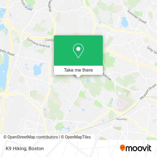
See K9 Hiking, Waltham, on the map
Public Transit to K9 Hiking in Waltham
Wondering how to get to K9 Hiking in Waltham? Moovit helps you find the best way to get to K9 Hiking with step-by-step directions from the nearest public transit station.
Moovit provides free maps and live directions to help you navigate through your city. View schedules, routes, timetables, and find out how long does it take to get to K9 Hiking in real time.
Looking for the nearest stop or station to K9 Hiking? Check out this list of stops closest to your destination: Waverley.
Bus: 554, 61, 73.Train: FITCHBURG.
Want to see if there’s another route that gets you there at an earlier time? Moovit helps you find alternative routes or times. Get directions from and directions to K9 Hiking easily from the Moovit App or Website.
We make riding to K9 Hiking easy, which is why over 1.7 million users, including users in Waltham, trust Moovit as the best app for public transit. You don’t need to download an individual bus app or train app, Moovit is your all-in-one transit app that helps you find the best bus time or train time available.
For information on prices of bus, train and subway, costs and ride fares to K9 Hiking, please check the Moovit app.
Use the app to navigate to popular places including to the airport, hospital, stadium, grocery store, mall, coffee shop, school, college, and university.
K9 Hiking Address: 600 Trapelo Rd street in Waltham
- Trapelo Rd Waltham MA,
- Avalon at Lexington Hills,
- North Waltham, Massachusetts,
- Lexington Hills,
- Wellington Crossing,
- Shady Pond Conservation Area,
- Gann Academy,
- Bishops Forest Condos,
- McSweeney Painting Co.,
- Rubber Soul Records,
- Waltham YMCA,
- CR Services,
- Chesterbrook Community Foundation,
- Citizens Bank,
- Salon 844 Waltham,
- Wal-lex Dry Cleaners,
- T.J. Maxx,
- Kenneth Harding Field,
- Wal-Lex Shopping Center,
- Michael A. Pelosi, CPA
Places Near K9 Hiking (Waltham)
- Leader Bank Pavilion (Leader Bank Pavillion), Boston,
- Wilbur Theatre, Boston,
- Mgm Music Hall, Boston,
- Td Garden, Boston,
- Prudential Center, Boston,
- Massachusetts General Hospital, Boston,
- North End, Boston,
- Boston Medical Center, Boston,
- Quincy Market, Boston,
- Boston Convention & Exhibition Center, Boston,
- Boston Common, Boston,
- Museum Of Science, Boston,
- Faneuil Hall, Boston,
- Isabella Stewart Gardner Museum, Boston,
- Castle Island, Boston,
- Seaport District, Boston,
- Cheers, Boston,
- Boston Children's Hospital, Boston,
- Wang Theater, Boston,
- House Of Blues, Boston
How to get to popular places in Boston with public transit
Get around Waltham by public transit!
Traveling around Waltham has never been so easy. See step by step directions as you travel to any attraction, street or major public transit station. View bus and train schedules, arrival times, service alerts and detailed routes on a map, so you know exactly how to get to anywhere in Waltham.
When traveling to any destination around Waltham use Moovit's Live Directions with Get Off Notifications to know exactly where and how far to walk, how long to wait for your line, and how many stops are left. Moovit will alert you when it's time to get off — no need to constantly re-check whether yours is the next stop.
Wondering how to use public transit in Waltham or how to pay for public transit in Waltham? Moovit public transit app can help you navigate your way with public transit easily, and at minimum cost. It includes public transit fees, ticket prices, and costs. Looking for a map of Waltham public transit lines? Moovit public transit app shows all public transit maps in Waltham with all Bus, Train, Subway and Ferry routes and stops on an interactive map.
Boston has 4 transit type(s), including: Bus, Train, Subway and Ferry, operated by several transit agencies, including MBTA, Southeastern Regional Transit Authority, MetroWest Regional Transit Authority, Rhode Island Public Transit Authority, WRTA, Lowell Regional Transit Authority, Merrimack Valley Transit, Montachusett Regional Transit Authority, Cape Cod Regional Transit Authority, Brockton Area Transit Authority, Martha's Vineyard Transit Authority, the WAVE - Nantucket Regional Transit Authority, GATRA, Cape Ann Transportation Authority and Massport