How to get to Kareem's Restaurant by bus?
Click on the bus route to see step by step directions with maps, line arrival times and updated time schedules.
From Sam Adams Boston Brewery Tour, Boston
102 minFrom Registry of Motor Vehicles (RMV) Boston, Boston
59 minFrom Bell In Hand Tavern, Boston
56 minFrom Lasell College, Newton
52 minFrom Uss Constitution, Boston
87 minFrom The 'Quin House, Boston
43 minFrom Pizzeria Regina, Boston
64 minFrom New England Conservatory of Music, Boston
56 minFrom Copley Square Hotel, Boston
36 minFrom Old State House, Boston
54 min
How to get to Kareem's Restaurant by train?
Click on the train route to see step by step directions with maps, line arrival times and updated time schedules.
From Registry of Motor Vehicles (RMV) Boston, Boston
61 minFrom Bell In Hand Tavern, Boston
63 minFrom Lasell College, Newton
60 minFrom Uss Constitution, Boston
73 minFrom The 'Quin House, Boston
76 minFrom Pizzeria Regina, Boston
59 minFrom New England Conservatory of Music, Boston
152 minFrom Copley Square Hotel, Boston
69 minFrom Old State House, Boston
68 min
Bus stops near Kareem's Restaurant in Watertown Town
Train stations near Kareem's Restaurant in Watertown Town
What are the closest stations to Kareem's Restaurant?
The closest stations to Kareem's Restaurant are:
- Mt Auburn St @ Walnut St is 256 yards away, 4 min walk.
- Arsenal St @ Irving St is 421 yards away, 5 min walk.
- Belmont is 2505 yards away, 30 min walk.
- Newtonville is 3915 yards away, 47 min walk.
Which bus lines stop near Kareem's Restaurant?
These bus lines stop near Kareem's Restaurant: 504, 59, 70, 71.
Which train lines stop near Kareem's Restaurant?
These train lines stop near Kareem's Restaurant: FITCHBURG, FRAMINGHAM/WORCESTER.
What’s the nearest train station to Kareem's Restaurant in Watertown Town?
The nearest train station to Kareem's Restaurant in Watertown Town is Belmont. It’s a 30 min walk away.
What’s the nearest bus station to Kareem's Restaurant in Watertown Town?
The nearest bus station to Kareem's Restaurant in Watertown Town is Mt Auburn St @ Walnut St. It’s a 4 min walk away.
What time is the first train to Kareem's Restaurant in Watertown Town?
The FRAMINGHAM/WORCESTER is the first train that goes to Kareem's Restaurant in Watertown Town. It stops nearby at 5:25 AM.
What time is the last train to Kareem's Restaurant in Watertown Town?
The FRAMINGHAM/WORCESTER is the last train that goes to Kareem's Restaurant in Watertown Town. It stops nearby at 12:17 AM.
What time is the first bus to Kareem's Restaurant in Watertown Town?
The 70 is the first bus that goes to Kareem's Restaurant in Watertown Town. It stops nearby at 4:38 AM.
What time is the last bus to Kareem's Restaurant in Watertown Town?
The 71 is the last bus that goes to Kareem's Restaurant in Watertown Town. It stops nearby at 1:27 AM.
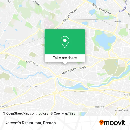
See Kareem's Restaurant, Watertown Town, on the map
Public Transit to Kareem's Restaurant in Watertown Town
Wondering how to get to Kareem's Restaurant in Watertown Town? Moovit helps you find the best way to get to Kareem's Restaurant with step-by-step directions from the nearest public transit station.
Moovit provides free maps and live directions to help you navigate through your city. View schedules, routes, timetables, and find out how long does it take to get to Kareem's Restaurant in real time.
Looking for the nearest stop or station to Kareem's Restaurant? Check out this list of stops closest to your destination: Mt Auburn St @ Walnut St; Arsenal St @ Irving St; Belmont; Newtonville.
Bus: 504, 59, 70, 71.Train: FITCHBURG, FRAMINGHAM/WORCESTER.
Want to see if there’s another route that gets you there at an earlier time? Moovit helps you find alternative routes or times. Get directions from and directions to Kareem's Restaurant easily from the Moovit App or Website.
We make riding to Kareem's Restaurant easy, which is why over 1.7 million users, including users in Watertown Town, trust Moovit as the best app for public transit. You don’t need to download an individual bus app or train app, Moovit is your all-in-one transit app that helps you find the best bus time or train time available.
For information on prices of bus, subway and train, costs and ride fares to Kareem's Restaurant, please check the Moovit app.
Use the app to navigate to popular places including to the airport, hospital, stadium, grocery store, mall, coffee shop, school, college, and university.
Kareem's Restaurant Address: 99 Common St street in Watertown Town
- Chemassist Corporation,
- Medicare Insurance Advisors Watertown Town,
- Boston Excel Consulting,
- Town of Watertown Young Adult Services,
- Krueger Associates Architects,
- KeyMe,
- Watertown Council on Aging / Senior Center,
- Michael Seif Photos,
- Real Estate 109,
- Sugar & Love,
- Watertown MA USA,
- Eilers Furgal Perichole L,
- Rugcutters' Dance Studio,
- Boston Commercial Real Estate,
- Thayer Morgan,
- Secret Sauce,
- Kay's Hair Lab,
- Soosutra Mobile Bodywork for Women & Couples,
- A Quiet Canine,
- Easy Choice Masonry and Chimney
Places Near Kareem's Restaurant (Watertown Town)
- Boston Convention & Exhibition Center, Boston,
- Wilbur Theatre, Boston,
- Seaport District, Boston,
- Prudential Center, Boston,
- Isabella Stewart Gardner Museum, Boston,
- Leader Bank Pavilion (Leader Bank Pavillion), Boston,
- North End, Boston,
- Boston Children's Hospital, Boston,
- Wang Theater, Boston,
- Boston Common, Boston,
- Massachusetts General Hospital, Boston,
- Castle Island, Boston,
- Mgm Music Hall, Boston,
- Td Garden, Boston,
- Cheers, Boston,
- Quincy Market, Boston,
- Faneuil Hall, Boston,
- Museum Of Science, Boston,
- Boston Medical Center, Boston,
- House Of Blues, Boston
How to get to popular places in Boston with public transit
Get around Watertown Town by public transit!
Traveling around Watertown Town has never been so easy. See step by step directions as you travel to any attraction, street or major public transit station. View bus and train schedules, arrival times, service alerts and detailed routes on a map, so you know exactly how to get to anywhere in Watertown Town.
When traveling to any destination around Watertown Town use Moovit's Live Directions with Get Off Notifications to know exactly where and how far to walk, how long to wait for your line, and how many stops are left. Moovit will alert you when it's time to get off — no need to constantly re-check whether yours is the next stop.
Wondering how to use public transit in Watertown Town or how to pay for public transit in Watertown Town? Moovit public transit app can help you navigate your way with public transit easily, and at minimum cost. It includes public transit fees, ticket prices, and costs. Looking for a map of Watertown Town public transit lines? Moovit public transit app shows all public transit maps in Watertown Town with all Bus, Train, Subway and Ferry routes and stops on an interactive map.
Boston has 4 transit type(s), including: Bus, Train, Subway and Ferry, operated by several transit agencies, including MBTA, Southeastern Regional Transit Authority, MetroWest Regional Transit Authority, Rhode Island Public Transit Authority, WRTA, Lowell Regional Transit Authority, Merrimack Valley Transit, Montachusett Regional Transit Authority, Cape Cod Regional Transit Authority, Brockton Area Transit Authority, Martha's Vineyard Transit Authority, the WAVE - Nantucket Regional Transit Authority, GATRA, Cape Ann Transportation Authority and Massport