Directions to Kerry Sullivan (Boston) with public transportation
The following transit lines have routes that pass near Kerry Sullivan
 Bus: 1, 24L, 3, 51, 54.
- Train: NORTHEAST REGIONAL, PROVIDENCE/STOUGHTON, ACELA, PROVIDENCE LINE SHUTTLE, PROVIDENCE LINE SHUTTLE.
How to get to Kerry Sullivan by bus?
Click on the bus route to see step by step directions with maps, line arrival times and updated time schedules.
How to get to Kerry Sullivan by train?
Click on the train route to see step by step directions with maps, line arrival times and updated time schedules.
Bus stops near Kerry Sullivan in Boston
Train stations near Kerry Sullivan in Boston
- Providence, 60 min walk,VIEW
Bus lines to Kerry Sullivan in Boston
- 35, South Attleboro Station Via Newport Ave,VIEW
- 60, Newport Via W Main Rd,VIEW
- 78, Pawtucket Transit Center Via Bev Hill Av,VIEW
- 1, Eddy St/Hope St/Benefit St,VIEW
- 3, Warwick Ave/Oakland Beach,VIEW
- 4, Pawtuxet Village/Warwick Neck,VIEW
- 51, Charles St/Twin River/CCRI Lincoln,VIEW
- 54, Lincoln/Woonsocket,VIEW
- 58, Mineral Spring Ave/North Providence,VIEW
- 72, Weeden St (Central Falls),VIEW
- 92, East Side/Federal Hill/RI College,VIEW
- 24L, Providence,VIEW
- 6, Roger Williams Zoo,VIEW
What are the closest stations to Kerry Sullivan?
The closest stations to Kerry Sullivan are:
- S Water Opposite James is 262 yards away, 4 min walk.
- Eddy & South is 297 yards away, 4 min walk.
- Eddy & Point (After Eddy) is 398 yards away, 5 min walk.
- Franklin Before Bassett is 425 yards away, 6 min walk.
- Providence is 5072 yards away, 60 min walk.
Which bus lines stop near Kerry Sullivan?
These bus lines stop near Kerry Sullivan: 1, 24L, 3, 51, 54, 60.
Which train lines stop near Kerry Sullivan?
These train lines stop near Kerry Sullivan: NORTHEAST REGIONAL, PROVIDENCE/STOUGHTON.
What’s the nearest bus station to Kerry Sullivan in Boston?
The nearest bus stations to Kerry Sullivan in Boston are S Water Opposite James and Eddy & South. The closest one is a 4 min walk away.
What time is the first train to Kerry Sullivan in Boston?
The PROVIDENCE/STOUGHTON is the first train that goes to Kerry Sullivan in Boston. It stops nearby at 4:10 AM.
What time is the last train to Kerry Sullivan in Boston?
The NORTHEAST REGIONAL is the last train that goes to Kerry Sullivan in Boston. It stops nearby at 9:17 AM.
What time is the first bus to Kerry Sullivan in Boston?
The 54 is the first bus that goes to Kerry Sullivan in Boston. It stops nearby at 5:08 AM.
What time is the last bus to Kerry Sullivan in Boston?
The 54 is the last bus that goes to Kerry Sullivan in Boston. It stops nearby at 12:57 AM.
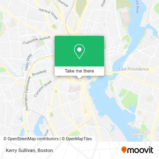
See Kerry Sullivan, Boston, on the map
Public Transit to Kerry Sullivan in Boston
Wondering how to get to Kerry Sullivan in Boston? Moovit helps you find the best way to get to Kerry Sullivan with step-by-step directions from the nearest public transit station.
Moovit provides free maps and live directions to help you navigate through your city. View schedules, routes, timetables, and find out how long does it take to get to Kerry Sullivan in real time.
Looking for the nearest stop or station to Kerry Sullivan? Check out this list of stops closest to your destination: S Water Opposite James; Eddy & South; Eddy & Point (After Eddy); Franklin Before Bassett; Providence.
Bus: 1, 24L, 3, 51, 54, 60, 35, 78, 4, 6.Train: NORTHEAST REGIONAL, PROVIDENCE/STOUGHTON, ACELA, PROVIDENCE LINE SHUTTLE, PROVIDENCE LINE SHUTTLE, PROVIDENCE LINE SHUTTLE, FOXBORO EVENT SERVICE.
Want to see if there’s another route that gets you there at an earlier time? Moovit helps you find alternative routes or times. Get directions from and directions to Kerry Sullivan easily from the Moovit App or Website.
We make riding to Kerry Sullivan easy, which is why over 1.7 million users, including users in Boston, trust Moovit as the best app for public transit. You don’t need to download an individual bus app or train app, Moovit is your all-in-one transit app that helps you find the best bus time or train time available.
For information on prices of bus and train, costs and ride fares to Kerry Sullivan, please check the Moovit app.
Use the app to navigate to popular places including to the airport, hospital, stadium, grocery store, mall, coffee shop, school, college, and university.
Kerry Sullivan Address: 130 Point St street in Boston
- Neurology Foundation,
- Onyx Capital Lending,
- Shred Nations,
- Shawmut Design & Construction,
- Auto Repair Services,
- 345 Richmond St Parking,
- Bluegrass Throedown,
- Royale Residence,
- Formisano & Company,
- Lifespan Pediatric Ophthalmology Outpatient Services,
- Nicole Nugent,
- Medical Similation Center Rih,
- Rhode Island Hospital Department of Psychiatry,
- Hasbro Children's Hospital Child and Adolescent Psychiatry,
- Stylez Handyman,
- Half Street Group,
- Lawn Love Lawn Care,
- Mercado Notary,
- Zipcar,
- Boston's Best Catering
Places Near Kerry Sullivan (Boston)
- Seaport District, Boston,
- Boston Medical Center, Boston,
- Boston Children's Hospital, Boston,
- Quincy Market, Boston,
- Mgm Music Hall, Boston,
- Cheers, Boston,
- House Of Blues, Boston,
- Leader Bank Pavilion (Leader Bank Pavillion), Boston,
- Massachusetts General Hospital, Boston,
- Castle Island, Boston,
- Museum Of Science, Boston,
- Boston Common, Boston,
- Faneuil Hall, Boston,
- North End, Boston,
- Isabella Stewart Gardner Museum, Boston,
- Boston Convention & Exhibition Center, Boston,
- Wang Theater, Boston,
- Prudential Center, Boston,
- Td Garden, Boston,
- Wilbur Theatre, Boston
How to get to popular places in Boston with public transit
Get around Boston by public transit!
Traveling around Boston has never been so easy. See step by step directions as you travel to any attraction, street or major public transit station. View bus and train schedules, arrival times, service alerts and detailed routes on a map, so you know exactly how to get to anywhere in Boston.
When traveling to any destination around Boston use Moovit's Live Directions with Get Off Notifications to know exactly where and how far to walk, how long to wait for your line, and how many stops are left. Moovit will alert you when it's time to get off — no need to constantly re-check whether yours is the next stop.
Wondering how to use public transit in Boston or how to pay for public transit in Boston? Moovit public transit app can help you navigate your way with public transit easily, and at minimum cost. It includes public transit fees, ticket prices, and costs. Looking for a map of Boston public transit lines? Moovit public transit app shows all public transit maps in Boston with all Bus, Train, Subway and Ferry routes and stops on an interactive map.
Boston has 4 transit type(s), including: Bus, Train, Subway and Ferry, operated by several transit agencies, including MBTA, Southeastern Regional Transit Authority, MetroWest Regional Transit Authority, Rhode Island Public Transit Authority, WRTA, Lowell Regional Transit Authority, Merrimack Valley Transit, Montachusett Regional Transit Authority, Cape Cod Regional Transit Authority, Brockton Area Transit Authority, Martha's Vineyard Transit Authority, the WAVE - Nantucket Regional Transit Authority, GATRA, Cape Ann Transportation Authority and Massport