Directions to Kevin Fruh (Newburyport) with public transportation
The following transit lines have routes that pass near Kevin Fruh
 Bus: 11, 20, 19.
- Train: NEWBURYPORT/ROCKPORT.
How to get to Kevin Fruh by bus?
Click on the bus route to see step by step directions with maps, line arrival times and updated time schedules.
How to get to Kevin Fruh by train?
Click on the train route to see step by step directions with maps, line arrival times and updated time schedules.
Bus stops near Kevin Fruh in Newburyport
Train station near Kevin Fruh in Newburyport
- Newburyport, 21 min walk,VIEW
Bus lines to Kevin Fruh in Newburyport
What are the closest stations to Kevin Fruh?
The closest stations to Kevin Fruh are:
- State Street (Library) is 163 yards away, 3 min walk.
- State Street & High Street is 453 yards away, 6 min walk.
- Newburyport is 1708 yards away, 21 min walk.
Which bus lines stop near Kevin Fruh?
These bus lines stop near Kevin Fruh: 11, 20.
Which train line stops near Kevin Fruh?
NEWBURYPORT/ROCKPORT (#131 | Newburyport)
What’s the nearest train station to Kevin Fruh in Newburyport?
The nearest train station to Kevin Fruh in Newburyport is Newburyport. It’s a 21 min walk away.
What’s the nearest bus station to Kevin Fruh in Newburyport?
The nearest bus station to Kevin Fruh in Newburyport is State Street (Library). It’s a 3 min walk away.
What time is the first train to Kevin Fruh in Newburyport?
The NEWBURYPORT/ROCKPORT is the first train that goes to Kevin Fruh in Newburyport. It stops nearby at 4:48 AM.
What time is the last train to Kevin Fruh in Newburyport?
The NEWBURYPORT/ROCKPORT is the last train that goes to Kevin Fruh in Newburyport. It stops nearby at 1:03 AM.
What time is the first bus to Kevin Fruh in Newburyport?
The 20 is the first bus that goes to Kevin Fruh in Newburyport. It stops nearby at 5:20 AM.
What time is the last bus to Kevin Fruh in Newburyport?
The 11 is the last bus that goes to Kevin Fruh in Newburyport. It stops nearby at 7:35 PM.
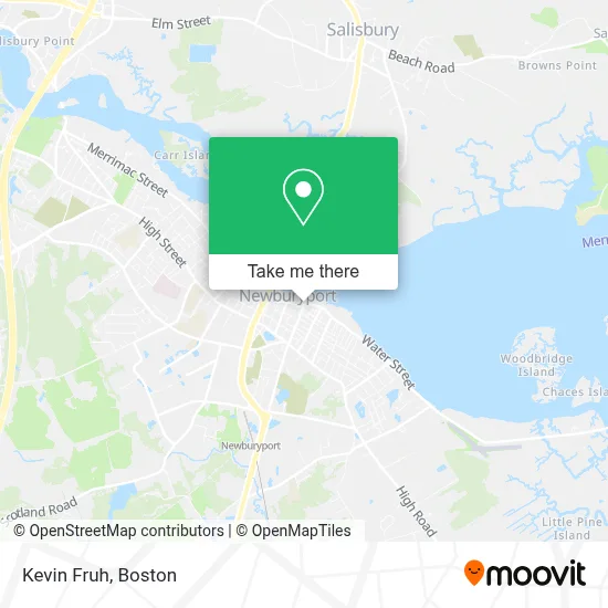
See Kevin Fruh, Newburyport, on the map
Public Transit to Kevin Fruh in Newburyport
Wondering how to get to Kevin Fruh in Newburyport? Moovit helps you find the best way to get to Kevin Fruh with step-by-step directions from the nearest public transit station.
Moovit provides free maps and live directions to help you navigate through your city. View schedules, routes, timetables, and find out how long does it take to get to Kevin Fruh in real time.
Looking for the nearest stop or station to Kevin Fruh? Check out this list of stops closest to your destination: State Street (Library); State Street & High Street; Newburyport.
Bus: 11, 20, 19.Train: NEWBURYPORT/ROCKPORT.
Want to see if there’s another route that gets you there at an earlier time? Moovit helps you find alternative routes or times. Get directions from and directions to Kevin Fruh easily from the Moovit App or Website.
We make riding to Kevin Fruh easy, which is why over 1.7 million users, including users in Newburyport, trust Moovit as the best app for public transit. You don’t need to download an individual bus app or train app, Moovit is your all-in-one transit app that helps you find the best bus time or train time available.
For information on prices of bus and train, costs and ride fares to Kevin Fruh, please check the Moovit app.
Use the app to navigate to popular places including to the airport, hospital, stadium, grocery store, mall, coffee shop, school, college, and university.
Kevin Fruh Address: 11 Market Sq street in Newburyport
- Ciro's of Newburyport,
- Kingston Trio,
- Waterfront Promenade Park,
- Newburyport Pediatric Neuropsychology,
- Cummings and Clarke PC,
- Medical Laser Technologies,
- Tilton Wealth Management,
- Pedestrian Companies,
- Little Duck Organics,
- The Boardwalk,
- Ana Picanco Linnehan - Realtor,
- Gail Fox,
- Lea Cabeen Homes,
- Cat Stevens Derby & Bridal Couture,
- Say It in Three D,
- Fair Trade Treasures,
- Woodland Advisors,
- Baystate Consultants,
- Jennelle Demers Realtor at Stone Ridge Properties,
- Brine
Places Near Kevin Fruh (Newburyport)
- Seaport District, Boston,
- Quincy Market, Boston,
- Isabella Stewart Gardner Museum, Boston,
- Cheers, Boston,
- Boston Medical Center, Boston,
- Castle Island, Boston,
- Wilbur Theatre, Boston,
- Faneuil Hall, Boston,
- Boston Children's Hospital, Boston,
- Mgm Music Hall, Boston,
- Museum Of Science, Boston,
- Leader Bank Pavilion (Leader Bank Pavillion), Boston,
- Prudential Center, Boston,
- Massachusetts General Hospital, Boston,
- Boston Convention & Exhibition Center, Boston,
- Wang Theater, Boston,
- North End, Boston,
- House Of Blues, Boston,
- Td Garden, Boston,
- Boston Common, Boston
How to get to popular places in Boston with public transit
Get around Newburyport by public transit!
Traveling around Newburyport has never been so easy. See step by step directions as you travel to any attraction, street or major public transit station. View bus and train schedules, arrival times, service alerts and detailed routes on a map, so you know exactly how to get to anywhere in Newburyport.
When traveling to any destination around Newburyport use Moovit's Live Directions with Get Off Notifications to know exactly where and how far to walk, how long to wait for your line, and how many stops are left. Moovit will alert you when it's time to get off — no need to constantly re-check whether yours is the next stop.
Wondering how to use public transit in Newburyport or how to pay for public transit in Newburyport? Moovit public transit app can help you navigate your way with public transit easily, and at minimum cost. It includes public transit fees, ticket prices, and costs. Looking for a map of Newburyport public transit lines? Moovit public transit app shows all public transit maps in Newburyport with all Bus, Train, Subway and Ferry routes and stops on an interactive map.
Boston has 4 transit type(s), including: Bus, Train, Subway and Ferry, operated by several transit agencies, including MBTA, Southeastern Regional Transit Authority, MetroWest Regional Transit Authority, Rhode Island Public Transit Authority, WRTA, Lowell Regional Transit Authority, Merrimack Valley Transit, Montachusett Regional Transit Authority, Cape Cod Regional Transit Authority, Brockton Area Transit Authority, Martha's Vineyard Transit Authority, the WAVE - Nantucket Regional Transit Authority, GATRA, Cape Ann Transportation Authority and Massport