Directions to Keyla Lassalle (Lynn) with public transportation
The following transit lines have routes that pass near Keyla Lassalle
 Bus: 426, 429, 450, 455.
- Train: NEWBURYPORT/ROCKPORT.
- Ferry: LYNN FERRY.
How to get to Keyla Lassalle by bus?
Click on the bus route to see step by step directions with maps, line arrival times and updated time schedules.
From Rino's Place, Boston
60 minFrom Liberty Tree Mall, Danvers
79 minFrom Gateway Center, Everett
81 minFrom Target, Everett
81 minFrom Hampton Inn Boston Logan Airport Chelsea, Chelsea
83 minFrom MBTA Suffolk Downs Station, Boston
64 minFrom Costco, Everett
83 minFrom Hampton Inn Boston Logan Airport, Revere
45 minFrom Melrose Wakefield Hospital, Malden
53 minFrom Constitution Beach, Boston
59 min
How to get to Keyla Lassalle by train?
Click on the train route to see step by step directions with maps, line arrival times and updated time schedules.
Bus stops near Keyla Lassalle in Lynn
Train station near Keyla Lassalle in Lynn
- Lynn Interim, 48 min walk,VIEW
Ferry station near Keyla Lassalle in Lynn
- Blossom Street Pier, 51 min walk,VIEW
What are the closest stations to Keyla Lassalle?
The closest stations to Keyla Lassalle are:
- Summer St Opp Raddin Grove Ave is 136 yards away, 2 min walk.
- 28 Myrtle St is 538 yards away, 7 min walk.
- Lynn Interim is 4074 yards away, 48 min walk.
- Blossom Street Pier is 4304 yards away, 51 min walk.
Which bus lines stop near Keyla Lassalle?
These bus lines stop near Keyla Lassalle: 426, 429, 450, 455.
Which train line stops near Keyla Lassalle?
NEWBURYPORT/ROCKPORT (#125 | Newburyport)
What’s the nearest bus station to Keyla Lassalle in Lynn?
The nearest bus station to Keyla Lassalle in Lynn is Summer St Opp Raddin Grove Ave. It’s a 2 min walk away.
What time is the first train to Keyla Lassalle in Lynn?
The NEWBURYPORT/ROCKPORT is the first train that goes to Keyla Lassalle in Lynn. It stops nearby at 5:30 AM.
What time is the last train to Keyla Lassalle in Lynn?
The NEWBURYPORT/ROCKPORT is the last train that goes to Keyla Lassalle in Lynn. It stops nearby at 12:17 AM.
What time is the first bus to Keyla Lassalle in Lynn?
The 426 is the first bus that goes to Keyla Lassalle in Lynn. It stops nearby at 5:15 AM.
What time is the last bus to Keyla Lassalle in Lynn?
The 426 is the last bus that goes to Keyla Lassalle in Lynn. It stops nearby at 1:33 AM.
What time is the first ferry to Keyla Lassalle in Lynn?
The LYNN FERRY is the first ferry that goes to Keyla Lassalle in Lynn. It stops nearby at 6:00 AM.
What time is the last ferry to Keyla Lassalle in Lynn?
The LYNN FERRY is the last ferry that goes to Keyla Lassalle in Lynn. It stops nearby at 7:55 PM.
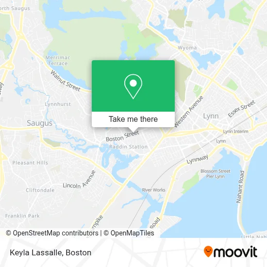
See Keyla Lassalle, Lynn, on the map
Public Transit to Keyla Lassalle in Lynn
Wondering how to get to Keyla Lassalle in Lynn? Moovit helps you find the best way to get to Keyla Lassalle with step-by-step directions from the nearest public transit station.
Moovit provides free maps and live directions to help you navigate through your city. View schedules, routes, timetables, and find out how long does it take to get to Keyla Lassalle in real time.
Looking for the nearest stop or station to Keyla Lassalle? Check out this list of stops closest to your destination: Summer St Opp Raddin Grove Ave; 28 Myrtle St; Lynn Interim; Blossom Street Pier.
Bus: 426, 429, 450, 455.Train: NEWBURYPORT/ROCKPORT.Ferry: LYNN FERRY.
Want to see if there’s another route that gets you there at an earlier time? Moovit helps you find alternative routes or times. Get directions from and directions to Keyla Lassalle easily from the Moovit App or Website.
We make riding to Keyla Lassalle easy, which is why over 1.7 million users, including users in Lynn, trust Moovit as the best app for public transit. You don’t need to download an individual bus app or train app, Moovit is your all-in-one transit app that helps you find the best bus time or train time available.
For information on prices of bus, subway and train, costs and ride fares to Keyla Lassalle, please check the Moovit app.
Use the app to navigate to popular places including to the airport, hospital, stadium, grocery store, mall, coffee shop, school, college, and university.
Keyla Lassalle Address: 634 Boston St street in Lynn
- Skin Deep Beauty and Esthetics,
- Baynamram Investments,
- Flash Laundromat,
- Organic & Natural Soap Cleaning,
- Lynn City Hall,
- Libertyx Bitcoin ATM,
- El Pulgarcito Restaurant,
- Bridgewell Boston St,
- Kens Fish Rescue,
- American Locksmith,
- ATM,
- Felipe Perez Landscaping,
- Sacred Heart Rectory,
- S&N Lock and Key,
- Leblanc's AAA Heat and Hot Water,
- Bg Cleaning,
- MV and Sons Enterprises,
- Benny's Painting,
- Mauricio's Construction,
- Abida's Kitchen
Places Near Keyla Lassalle (Lynn)
- Boston Medical Center, Boston,
- Museum Of Science, Boston,
- Massachusetts General Hospital, Boston,
- Prudential Center, Boston,
- Boston Children's Hospital, Boston,
- Wilbur Theatre, Boston,
- House Of Blues, Boston,
- Boston Convention & Exhibition Center, Boston,
- Seaport District, Boston,
- Wang Theater, Boston,
- Isabella Stewart Gardner Museum, Boston,
- Cheers, Boston,
- Mgm Music Hall, Boston,
- Castle Island, Boston,
- Td Garden, Boston,
- North End, Boston,
- Boston Common, Boston,
- Leader Bank Pavilion (Leader Bank Pavillion), Boston,
- Quincy Market, Boston,
- Faneuil Hall, Boston
How to get to popular places in Boston with public transit
Get around Lynn by public transit!
Traveling around Lynn has never been so easy. See step by step directions as you travel to any attraction, street or major public transit station. View bus and train schedules, arrival times, service alerts and detailed routes on a map, so you know exactly how to get to anywhere in Lynn.
When traveling to any destination around Lynn use Moovit's Live Directions with Get Off Notifications to know exactly where and how far to walk, how long to wait for your line, and how many stops are left. Moovit will alert you when it's time to get off — no need to constantly re-check whether yours is the next stop.
Wondering how to use public transit in Lynn or how to pay for public transit in Lynn? Moovit public transit app can help you navigate your way with public transit easily, and at minimum cost. It includes public transit fees, ticket prices, and costs. Looking for a map of Lynn public transit lines? Moovit public transit app shows all public transit maps in Lynn with all Bus, Train, Subway and Ferry routes and stops on an interactive map.
Boston has 4 transit type(s), including: Bus, Train, Subway and Ferry, operated by several transit agencies, including MBTA, Southeastern Regional Transit Authority, MetroWest Regional Transit Authority, Rhode Island Public Transit Authority, WRTA, Lowell Regional Transit Authority, Merrimack Valley Transit, Montachusett Regional Transit Authority, Cape Cod Regional Transit Authority, Brockton Area Transit Authority, Martha's Vineyard Transit Authority, the WAVE - Nantucket Regional Transit Authority, GATRA, Cape Ann Transportation Authority and Massport