Train station near Keystone Homecare Services in Boston
- South Acton, 23 min walk,VIEW
- Planet Flag Pole,
- Nan's,
- Ministers Pond,
- Applefield Farm,
- Water Source 2,
- Red Trail Parking,
- Peter Fletcher House,
- Paul Taylor House,
- Country Store,
- 10 Common Rd,
- Randall Library,
- Summer Hill Conservation Area,
- Stow MA USA,
- Stow,
- 4 Clock Tower Place,
- Stow Florist at One Main Street,
- Great Road Auto,
- استو، ماساچوست,
- 10 Russet Ln,
- Ash Go Complete Chimney Service
Places Near Keystone Homecare Services (Boston)
- Cheers, Boston,
- Castle Island, Boston,
- Boston Common, Boston,
- Massachusetts General Hospital, Boston,
- House Of Blues, Boston,
- Boston Convention & Exhibition Center, Boston,
- Wang Theater, Boston,
- Boston Medical Center, Boston,
- Faneuil Hall, Boston,
- Prudential Center, Boston,
- Isabella Stewart Gardner Museum, Boston,
- Mgm Music Hall, Boston,
- Wilbur Theatre, Boston,
- North End, Boston,
- Museum Of Science, Boston,
- Td Garden, Boston,
- Boston Children's Hospital, Boston,
- Quincy Market, Boston,
- Leader Bank Pavilion (Leader Bank Pavillion), Boston,
- Seaport District, Boston
How to get to popular places in Boston with public transit
What are the closest stations to Keystone Homecare Services?
The closest stations to Keystone Homecare Services are:
- South Acton is 1900 yards away, 23 min walk.
What’s the nearest train station to Keystone Homecare Services in Boston?
The nearest train station to Keystone Homecare Services in Boston is South Acton. It’s a 23 min walk away.
What time is the first train to Keystone Homecare Services in Boston?
The FITCHBURG is the first train that goes to Keystone Homecare Services in Boston. It stops nearby at 5:07 AM.
What time is the last train to Keystone Homecare Services in Boston?
The FITCHBURG is the last train that goes to Keystone Homecare Services in Boston. It stops nearby at 12:38 AM.
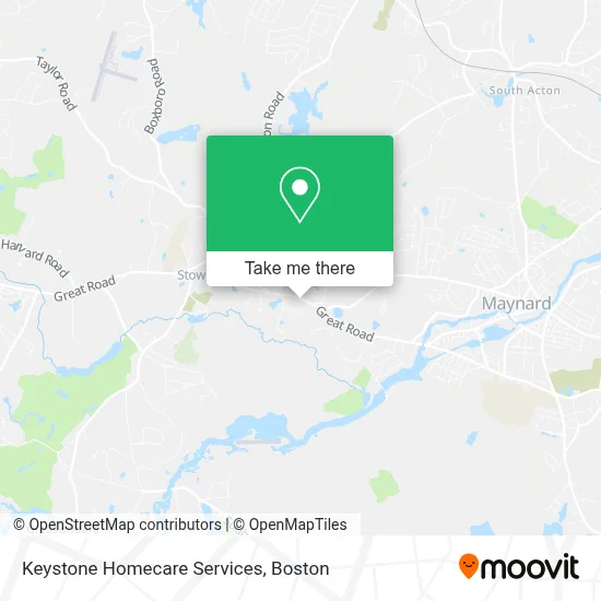
See Keystone Homecare Services, Boston, on the map
Public Transit to Keystone Homecare Services in Boston
Wondering how to get to Keystone Homecare Services in Boston? Moovit helps you find the best way to get to Keystone Homecare Services with step-by-step directions from the nearest public transit station.
Moovit provides free maps and live directions to help you navigate through your city. View schedules, routes, timetables, and find out how long does it take to get to Keystone Homecare Services in real time.
Looking for the nearest stop or station to Keystone Homecare Services? Check out this list of stops closest to your destination: South Acton.
Want to see if there’s another route that gets you there at an earlier time? Moovit helps you find alternative routes or times. Get directions from and directions to Keystone Homecare Services easily from the Moovit App or Website.
We make riding to Keystone Homecare Services easy, which is why over 1.7 million users, including users in Boston, trust Moovit as the best app for public transit. You don’t need to download an individual bus app or train app, Moovit is your all-in-one transit app that helps you find the best bus time or train time available.
Use the app to navigate to popular places including to the airport, hospital, stadium, grocery store, mall, coffee shop, school, college, and university.
Keystone Homecare Services Address: 132 Great Rd street in Boston
Get around Boston by public transit!
Traveling around Boston has never been so easy. See step by step directions as you travel to any attraction, street or major public transit station. View bus and train schedules, arrival times, service alerts and detailed routes on a map, so you know exactly how to get to anywhere in Boston.
When traveling to any destination around Boston use Moovit's Live Directions with Get Off Notifications to know exactly where and how far to walk, how long to wait for your line, and how many stops are left. Moovit will alert you when it's time to get off — no need to constantly re-check whether yours is the next stop.
Wondering how to use public transit in Boston or how to pay for public transit in Boston? Moovit public transit app can help you navigate your way with public transit easily, and at minimum cost. It includes public transit fees, ticket prices, and costs. Looking for a map of Boston public transit lines? Moovit public transit app shows all public transit maps in Boston with all Bus, Train, Subway and Ferry routes and stops on an interactive map.
Boston has 4 transit type(s), including: Bus, Train, Subway and Ferry, operated by several transit agencies, including MBTA, Southeastern Regional Transit Authority, MetroWest Regional Transit Authority, Rhode Island Public Transit Authority, WRTA, Lowell Regional Transit Authority, Merrimack Valley Transit, Montachusett Regional Transit Authority, Cape Cod Regional Transit Authority, Brockton Area Transit Authority, Martha's Vineyard Transit Authority, the WAVE - Nantucket Regional Transit Authority, GATRA, Cape Ann Transportation Authority and Massport