Directions to Kfc (Boston) with public transportation
The following transit lines have routes that pass near Kfc
 Bus: 34, 34E, 35.
- Train: NEEDHAM, FRANKLIN/FOXBORO, PROVIDENCE/STOUGHTON.
How to get to Kfc by bus?
Click on the bus route to see step by step directions with maps, line arrival times and updated time schedules.
From 98 Binney St, Boston
50 minFrom Boston Municipal Court (Roxbury District Court), Boston
43 minFrom Mass Eye & Ear, Boston
41 minFrom FOUR POINTS BY SHERATON-Norwood, Norwood
47 minFrom O'Bryant High School, Boston
44 minFrom 221 Longwood, Boston
46 minFrom MCPHS University-Boston, Boston
44 minFrom Dana-Farber Cancer Institute, Boston
48 minFrom the mall at rockingham park mall, Boston
60 min
How to get to Kfc by train?
Click on the train route to see step by step directions with maps, line arrival times and updated time schedules.
Bus stops near Kfc in Boston
Train stations near Kfc in Boston
Bus lines to Kfc in Boston
What are the closest stations to Kfc?
The closest stations to Kfc are:
- Stimson St @ Centre St is 358 yards away, 5 min walk.
- 38 Washington St Opp Sumner St is 794 yards away, 10 min walk.
- Endicott is 1671 yards away, 20 min walk.
- West Roxbury is 2007 yards away, 24 min walk.
- Readville is 2240 yards away, 28 min walk.
Which bus lines stop near Kfc?
These bus lines stop near Kfc: 34, 34E, 35.
Which train line stops near Kfc?
NEEDHAM (#625 | Needham Heights)
What’s the nearest train station to Kfc in Boston?
The nearest train station to Kfc in Boston is Endicott. It’s a 20 min walk away.
What’s the nearest bus station to Kfc in Boston?
The nearest bus station to Kfc in Boston is Stimson St @ Centre St. It’s a 5 min walk away.
What time is the first train to Kfc in Boston?
The PROVIDENCE/STOUGHTON is the first train that goes to Kfc in Boston. It stops nearby at 5:08 AM.
What time is the last train to Kfc in Boston?
The PROVIDENCE/STOUGHTON is the last train that goes to Kfc in Boston. It stops nearby at 12:22 AM.
What time is the first bus to Kfc in Boston?
The 34 is the first bus that goes to Kfc in Boston. It stops nearby at 4:42 AM.
What time is the last bus to Kfc in Boston?
The 34 is the last bus that goes to Kfc in Boston. It stops nearby at 1:30 AM.
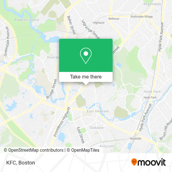
See Kfc, Boston, on the map
Public Transit to Kfc in Boston
Wondering how to get to Kfc in Boston? Moovit helps you find the best way to get to Kfc with step-by-step directions from the nearest public transit station.
Moovit provides free maps and live directions to help you navigate through your city. View schedules, routes, timetables, and find out how long does it take to get to Kfc in real time.
Looking for the nearest stop or station to Kfc? Check out this list of stops closest to your destination: Stimson St @ Centre St; 38 Washington St Opp Sumner St; Endicott; West Roxbury; Readville.
Bus: 34, 34E, 35.Train: NEEDHAM, FRANKLIN/FOXBORO, PROVIDENCE/STOUGHTON.
Want to see if there’s another route that gets you there at an earlier time? Moovit helps you find alternative routes or times. Get directions from and directions to Kfc easily from the Moovit App or Website.
We make riding to Kfc easy, which is why over 1.7 million users, including users in Boston, trust Moovit as the best app for public transit. You don’t need to download an individual bus app or train app, Moovit is your all-in-one transit app that helps you find the best bus time or train time available.
For information on prices of bus, train and subway, costs and ride fares to Kfc, please check the Moovit app.
Use the app to navigate to popular places including to the airport, hospital, stadium, grocery store, mall, coffee shop, school, college, and university.
Kfc Address: 5318 Washington St street in Boston
- West Roxbury Apartments,
- Classic Car Wash & Propane,
- Draper Pool,
- Tipico Salvadoreno I,
- North of the Border Mexican Grill,
- Cristelle's Restaurant,
- Fairouz Restaurant,
- Christ the Rock Church,
- Ridge Family Daycare,
- RHD Ma,
- Hazel Boone Dance Studio,
- Family Dentistry, Dr. Mahesh Sadhnani,
- Black Anchor Real Estate,
- Allstate Insurance,
- Pomodoros Italian Kitchen,
- Dedham Moose Lodge,
- Shechtman Halperin Savage,
- Jewish Civil Service Cemetery,
- Saint Mark of Ephesus Mission Dedham,
- Anthony Fredrick Salon
Places Near Kfc (Boston)
- Boston Medical Center, Boston,
- North End, Boston,
- Seaport District, Boston,
- House Of Blues, Boston,
- Cheers, Boston,
- Castle Island, Boston,
- Wang Theater, Boston,
- Isabella Stewart Gardner Museum, Boston,
- Quincy Market, Boston,
- Wilbur Theatre, Boston,
- Massachusetts General Hospital, Boston,
- Td Garden, Boston,
- Boston Children's Hospital, Boston,
- Leader Bank Pavilion (Leader Bank Pavillion), Boston,
- Faneuil Hall, Boston,
- Museum Of Science, Boston,
- Boston Convention & Exhibition Center, Boston,
- Boston Common, Boston,
- Prudential Center, Boston,
- Mgm Music Hall, Boston
How to get to popular places in Boston with public transit
Get around Boston by public transit!
Traveling around Boston has never been so easy. See step by step directions as you travel to any attraction, street or major public transit station. View bus and train schedules, arrival times, service alerts and detailed routes on a map, so you know exactly how to get to anywhere in Boston.
When traveling to any destination around Boston use Moovit's Live Directions with Get Off Notifications to know exactly where and how far to walk, how long to wait for your line, and how many stops are left. Moovit will alert you when it's time to get off — no need to constantly re-check whether yours is the next stop.
Wondering how to use public transit in Boston or how to pay for public transit in Boston? Moovit public transit app can help you navigate your way with public transit easily, and at minimum cost. It includes public transit fees, ticket prices, and costs. Looking for a map of Boston public transit lines? Moovit public transit app shows all public transit maps in Boston with all Bus, Train, Subway and Ferry routes and stops on an interactive map.
Boston has 4 transit type(s), including: Bus, Train, Subway and Ferry, operated by several transit agencies, including MBTA, Southeastern Regional Transit Authority, MetroWest Regional Transit Authority, Rhode Island Public Transit Authority, WRTA, Lowell Regional Transit Authority, Merrimack Valley Transit, Montachusett Regional Transit Authority, Cape Cod Regional Transit Authority, Brockton Area Transit Authority, Martha's Vineyard Transit Authority, the WAVE - Nantucket Regional Transit Authority, GATRA, Cape Ann Transportation Authority and Massport