King St & 2nd St station - Tuesday schedule
| Line | Direction | Time |
|---|---|---|
| ORANGE | Richmond | 5:03 AM |
| ORANGE | Richmond | 5:15 AM |
| ORANGE | Richmond | 5:27 AM |
| ORANGE | Richmond | 5:37 AM |
| ORANGE | Berryessa/North San Jose | 5:51 AM |
| ORANGE | Richmond | 5:55 AM |
| ORANGE | Richmond | 6:05 AM |
| ORANGE | Richmond | 6:16 AM |
| ORANGE | Berryessa/North San Jose | 6:17 AM |
| ORANGE | Berryessa/North San Jose | 6:24 AM |
| ORANGE | Richmond | 6:24 AM |
| ORANGE | Berryessa/North San Jose | 6:32 AM |
| ORANGE | Richmond | 6:37 AM |
| ORANGE | Richmond | 6:47 AM |
| ORANGE | Berryessa/North San Jose | 6:48 AM |
| ORANGE | Richmond | 6:57 AM |
| ORANGE | Berryessa/North San Jose | 7:00 AM |
| ORANGE | Richmond | 7:07 AM |
| ORANGE | Berryessa/North San Jose | 7:12 AM |
| ORANGE | Richmond | 7:16 AM |
| ORANGE | Berryessa/North San Jose | 7:23 AM |
| ORANGE | Richmond | 7:27 AM |
| ORANGE | Berryessa/North San Jose | 7:33 AM |
| ORANGE | Richmond | 7:38 AM |
| ORANGE | Berryessa/North San Jose | 7:43 AM |
Directions to King St & 2nd St station (Soma) with public transit
The following transit lines have routes that pass near King St & 2nd St
 Bus: 30, 45, 8BX, EAST, F.
- Train: LOCAL WEEKDAY, EXPRESS, LIMITED, WEEKEND LOCAL.
- BART: BLUE, RED.
- Light Rail: N.
How to get to King St & 2nd St station by bus?
Click on the bus route to see step by step directions with maps, line arrival times and updated time schedules.
How to get to King St & 2nd St station by train?
Click on the train route to see step by step directions with maps, line arrival times and updated time schedules.
How to get to King St & 2nd St station by BART?
Click on the BART route to see step by step directions with maps, line arrival times and updated time schedules.
Bus stops near King St & 2nd St stop in Soma
- King St & 2nd St, 1 min walk,
- 3rd St & Brannan St, 5 min walk,
- 4th @ Library (Caltrain), 9 min walk,
- 3rd St & Bryant St, 10 min walk,
Light Rail stations near King St & 2nd St station in Soma
- The Embarcadero & Brannan St, 7 min walk,
- 4th Street 808, 7 min walk,
Train stations near King St & 2nd St station in Soma
- San Francisco, 7 min walk,
Bus lines to King St & 2nd St station in Soma
- N BUS, Townsend and 5th St,
- N OWL, Ocean Beach,
- T BUS, Chinatown,
- 15, Sutter & Sansome,
- 30, Caltrain Depot,
- 45, Lyon + Greenwich,
- 91, West Portal Station,
- EAST, 1200 4th,
- TC, Owens Street and Gene Friend Way,
- WEST, Owens @ Gene Friend,
- 8, Bayshore,
- 8AX, Bayshore A Express,
- 8BX, Bayshore B Express,
What are the closest stations to King St & 2nd St?
The closest stations to King St & 2nd St are:
- King St & 2nd St is 33 yards away, 1 min walk.
- 3rd St & Brannan St is 416 yards away, 5 min walk.
- The Embarcadero & Brannan St is 541 yards away, 7 min walk.
- San Francisco is 564 yards away, 7 min walk.
- 4th Street 808 is 592 yards away, 7 min walk.
- 4th @ Library (Caltrain) is 713 yards away, 9 min walk.
- 3rd St & Bryant St is 813 yards away, 10 min walk.
Which bus lines stop near King St & 2nd St?
These bus lines stop near King St & 2nd St: 30, 45, 8BX, EAST, F, NL.
Which train line stops near King St & 2nd St?
LOCAL WEEKDAY (San Francisco)
Which BART lines stop near King St & 2nd St?
These BART lines stop near King St & 2nd St: BLUE, RED.
Which light rail line stops near King St & 2nd St?
N (Caltrain)
What’s the nearest light rail station to King St & 2nd St in Soma?
The nearest light rail stations to King St & 2nd St in Soma are The Embarcadero & Brannan St and 4th Street 808. The closest one is a 7 min walk away.
What’s the nearest train station to King St & 2nd St in Soma?
The nearest train station to King St & 2nd St in Soma is San Francisco. It’s a 7 min walk away.
What’s the nearest bus station to King St & 2nd St in Soma?
The nearest bus station to King St & 2nd St in Soma is King St & 2nd St. It’s a 1 min walk away.
What time is the first light rail to King St & 2nd St in Soma?
The N is the first light rail that goes to King St & 2nd St in Soma. It stops nearby at 5:01 AM.
What time is the last light rail to King St & 2nd St in Soma?
The N is the last light rail that goes to King St & 2nd St in Soma. It stops nearby at 12:27 AM.
What time is the first train to King St & 2nd St in Soma?
The LOCAL WEEKDAY is the first train that goes to King St & 2nd St in Soma. It stops nearby at 4:55 AM.
What time is the last train to King St & 2nd St in Soma?
The LOCAL WEEKDAY is the last train that goes to King St & 2nd St in Soma. It stops nearby at 12:48 AM.
What time is the first bus to King St & 2nd St in Soma?
The N OWL is the first bus that goes to King St & 2nd St in Soma. It stops nearby at 3:00 AM.
What time is the last bus to King St & 2nd St in Soma?
The 91 is the last bus that goes to King St & 2nd St in Soma. It stops nearby at 3:37 AM.
King St & 2nd St station
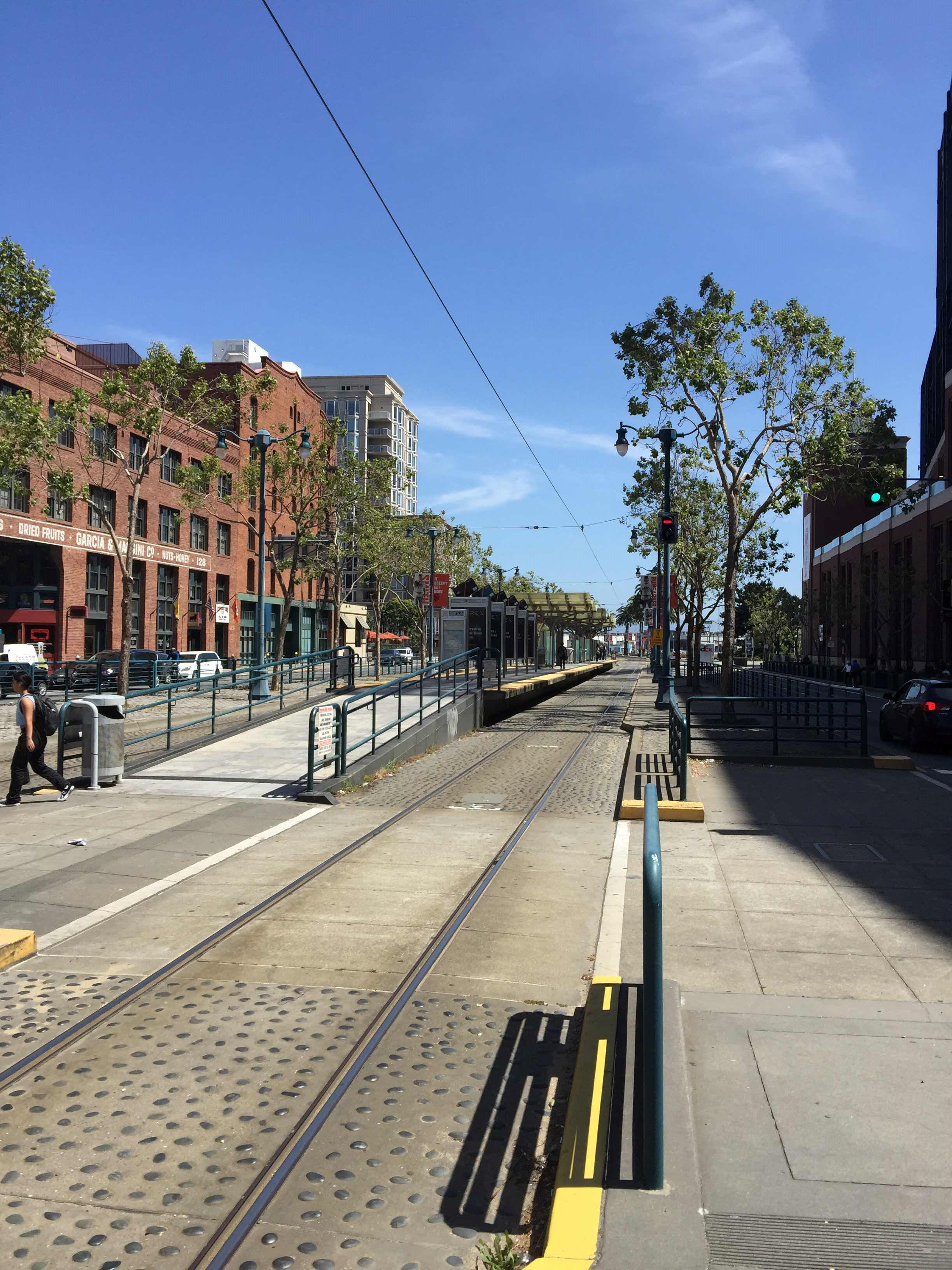 Taken by Anonymous
See King St & 2nd St station, Soma, on the map
Public transit to King St & 2nd St station in Soma
Looking for directions to King St & 2nd St in Soma, United States?
Download the Moovit App to find the current schedule and step-by-step directions for Bus, Light Rail, BART or Train routes that pass through King St & 2nd St.
Looking for the nearest stops closest to King St & 2nd St ? Check out this list of closest stops to your destination: King St & 2nd St; 3rd St & Brannan St; The Embarcadero & Brannan St; San Francisco; 4th Street 808; 4th @ Library (Caltrain); 3rd St & Bryant St.
Bus: 30, 45, 8BX, EAST, F, NL, N BUS, N OWL, T BUS, 15, 91, TC, WEST, 8, 8AX.Train: LOCAL WEEKDAY, EXPRESS, LIMITED, WEEKEND LOCAL.BART: BLUE, RED.Light Rail: N.
We make riding on public transit to King St & 2nd St easy, which is why over 1.5 million users, including users in Soma trust Moovit as the best app for public transit.
Get to King St & 2nd St with public transit and pay for the ride in the Moovit app. In addition to all info you may need for your trip to King St & 2nd St, including live directions, real-time arrivals and fare prices, you can also buy public transit passes for your rides. No need for cash or paper tickets to get to King St & 2nd St - everything you need is accessible in the app with a click of the button.
Use the app to navigate to popular places including to the airport, hospital, stadium, grocery store, mall, coffee shop, school, college, and university.
The station has the following entrances: 2nd St
The first line to this station is ORANGE, at 5:03 AM, and the last line is ORANGE at 12:24 AM.
760 02nd St, San Francisco, CA, USA
This station serves BART’s lines
Popular routes from King St & 2nd St station, Soma
- King St & 2nd St,
- 3rd St & Brannan St,
- 4th @ Library (Caltrain),
- 3rd St & Bryant St
Bus stops near King St & 2nd St stop
- The Embarcadero & Brannan St,
- 4th Street 808
Light Rail stations near King St & 2nd St station
- San Francisco
Train station near King St & 2nd St station
- 1st & River Oaks (N),
- Henry St & Berryman St,
- Castro St & 17th St,
- King St & 2nd St,
- Spruce St & Grizzly Peak Blvd,
- Merced St & Marina Blvd,
- Mission St & Persia Ave,
- Fulton St & 10th Ave,
- Mathilda & California (N),
- Redwood City,
- San Pablo Av & 45th St,
- 18th St & Dolores St,
- Ralph Appezzato Memorial Pkwy & Main St,
- San Pablo Ave and Belmont Way,
- Middlefield/California,
- Divisadero St & Sutter St,
- Agnew & Mission College (E),
- The Embarcadero & Brannan St,
- El Camino & Wolfe (W),
- Hamilton & Winchester (E)
Popular public transit stations in Soma
Get around Soma by public transit!
Traveling around Soma has never been so easy. See step by step directions as you travel to any attraction, street or major public transit station. View bus and train schedules, arrival times, service alerts and detailed routes on a map, so you know exactly how to get to anywhere in Soma.
When traveling to any destination around Soma use Moovit's Live Directions with Get Off Notifications to know exactly where and how far to walk, how long to wait for your line, and how many stops are left. Moovit will alert you when it's time to get off — no need to constantly re-check whether yours is the next stop.
Wondering how to use public transit in Soma or how to pay for public transit in Soma? Moovit public transit app can help you navigate your way with public transit easily, and at minimum cost. It includes public transit fees, ticket prices, and costs. Looking for a map of Soma public transit lines? Moovit public transit app shows all public transit maps in Soma with all Bus, Train, BART, Light Rail, Ferry and Cable Car routes and stops on an interactive map.
San Francisco - San Jose, CA has 6 transit type(s), including: Bus, Train, BART, Light Rail, Ferry and Cable Car, operated by several transit agencies, including BART, Muni Metro, Caltrain, VTA, Capitol Corridor, Sonoma Marin Area Rail Transit, MUNI, SF Cable Car, AC Transit , AC Transit, Dumbarton Express, Golden Gate Transit, County Connection, SamTrans and Sonoma County Transit