Directions to Kinks And Coils (Boston) with public transportation
The following transit lines have routes that pass near Kinks And Coils
 Bus: 42, 44, 66, BB, SL4.
- Train: NEEDHAM, PROVIDENCE/STOUGHTON, FRANKLIN/FOXBORO.
- Subway: ORANGE LINE, GREEN LINE E.
How to get to Kinks And Coils by bus?
Click on the bus route to see step by step directions with maps, line arrival times and updated time schedules.
From Salem St, Boston
42 minFrom USS Constitution, Boston
63 minFrom Belle Isle Lobster & Seafood, Winthrop Town
94 minFrom Kkkk, Boston
74 minFrom Six Flags New England, Newton
70 minFrom Inman Square, Cambridge
65 minFrom Medford Square, Medford
63 minFrom Hyatt Place Medford, Medford
62 minFrom Boston Landing Station, Boston
54 minFrom Winthrop, Winthrop Town
134 min
How to get to Kinks And Coils by train?
Click on the train route to see step by step directions with maps, line arrival times and updated time schedules.
How to get to Kinks And Coils by subway?
Click on the subway route to see step by step directions with maps, line arrival times and updated time schedules.
Bus stops near Kinks And Coils in Boston
Subway stations near Kinks And Coils in Boston
Train station near Kinks And Coils in Boston
- Ruggles, 20 min walk,VIEW
Bus lines to Kinks And Coils in Boston
What are the closest stations to Kinks And Coils?
The closest stations to Kinks And Coils are:
- 205 Roxbury St is 16 yards away, 1 min walk.
- Longwood Medical Area is 136 yards away, 3 min walk.
- Dudley St @ Nubian Station is 162 yards away, 3 min walk.
- Washington St Opp Cedar St is 282 yards away, 4 min walk.
- Malcolm X Blvd @ Shawmut Ave is 336 yards away, 5 min walk.
- Warren St @ Dabney Pl is 347 yards away, 5 min walk.
- Jackson Square is 794 yards away, 10 min walk.
- Ruggles is 1639 yards away, 20 min walk.
Which bus lines stop near Kinks And Coils?
These bus lines stop near Kinks And Coils: 42, 44, 66, BB, SL4, SL5.
Which train lines stop near Kinks And Coils?
These train lines stop near Kinks And Coils: NEEDHAM, PROVIDENCE/STOUGHTON.
Which subway line stops near Kinks And Coils?
ORANGE LINE (Forest Hills)
What’s the nearest subway station to Kinks And Coils in Boston?
The nearest subway station to Kinks And Coils in Boston is Longwood Medical Area. It’s a 3 min walk away.
What’s the nearest train station to Kinks And Coils in Boston?
The nearest train station to Kinks And Coils in Boston is Ruggles. It’s a 20 min walk away.
What’s the nearest bus station to Kinks And Coils in Boston?
The nearest bus station to Kinks And Coils in Boston is 205 Roxbury St. It’s a 1 min walk away.
What time is the first subway to Kinks And Coils in Boston?
The ORANGE LINE is the first subway that goes to Kinks And Coils in Boston. It stops nearby at 5:20 AM.
What time is the last subway to Kinks And Coils in Boston?
The GREEN LINE E is the last subway that goes to Kinks And Coils in Boston. It stops nearby at 2:04 AM.
What time is the first train to Kinks And Coils in Boston?
The PROVIDENCE/STOUGHTON is the first train that goes to Kinks And Coils in Boston. It stops nearby at 4:28 AM.
What time is the last train to Kinks And Coils in Boston?
The PROVIDENCE/STOUGHTON is the last train that goes to Kinks And Coils in Boston. It stops nearby at 12:34 AM.
What time is the first bus to Kinks And Coils in Boston?
The 66 is the first bus that goes to Kinks And Coils in Boston. It stops nearby at 4:46 AM.
What time is the last bus to Kinks And Coils in Boston?
The 66 is the last bus that goes to Kinks And Coils in Boston. It stops nearby at 2:32 AM.
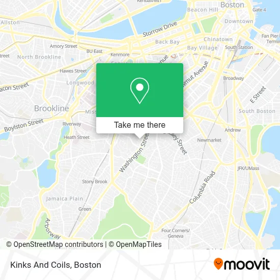
See Kinks And Coils, Boston, on the map
Public Transit to Kinks And Coils in Boston
Wondering how to get to Kinks And Coils in Boston? Moovit helps you find the best way to get to Kinks And Coils with step-by-step directions from the nearest public transit station.
Moovit provides free maps and live directions to help you navigate through your city. View schedules, routes, timetables, and find out how long does it take to get to Kinks And Coils in real time.
Looking for the nearest stop or station to Kinks And Coils? Check out this list of stops closest to your destination: 205 Roxbury St; Longwood Medical Area; Dudley St @ Nubian Station; Washington St Opp Cedar St; Malcolm X Blvd @ Shawmut Ave; Warren St @ Dabney Pl; Jackson Square; Ruggles.
Bus: 42, 44, 66, BB, SL4, SL5, 14, 41, 45, 19.Train: NEEDHAM, PROVIDENCE/STOUGHTON, FRANKLIN/FOXBORO.Subway: ORANGE LINE, GREEN LINE E.
Want to see if there’s another route that gets you there at an earlier time? Moovit helps you find alternative routes or times. Get directions from and directions to Kinks And Coils easily from the Moovit App or Website.
We make riding to Kinks And Coils easy, which is why over 1.7 million users, including users in Boston, trust Moovit as the best app for public transit. You don’t need to download an individual bus app or train app, Moovit is your all-in-one transit app that helps you find the best bus time or train time available.
For information on prices of bus, subway and train, costs and ride fares to Kinks And Coils, please check the Moovit app.
Use the app to navigate to popular places including to the airport, hospital, stadium, grocery store, mall, coffee shop, school, college, and university.
Kinks And Coils Address: 12 Thornton St street in Boston
- Bartlett Station Condominium Trust,
- Nuestra Comunidad Development Corporation,
- Roxbury Roots Montessori Inc.,
- Live Longer Get Fit,
- District 7 Tavern,
- Nubian Square,
- 1 Juniper ter Parking,
- Libertyx Bitcoin ATM,
- Feeltbaskets,
- Advanced Building Inspectors,
- St Joseph School,
- Omega Locksmith,
- Thorton Street Urban Farm & Community Gardens,
- The Charles Realty,
- Brush & Floss,
- Boston Town 25 Locks Change,
- Dillaway School,
- Acedone,
- Premiere Customized Services,
- Best Spiritual Healing in Boston
Places Near Kinks And Coils (Boston)
- Cheers, Boston,
- Castle Island, Boston,
- Boston Common, Boston,
- Massachusetts General Hospital, Boston,
- House Of Blues, Boston,
- Boston Convention & Exhibition Center, Boston,
- Wang Theater, Boston,
- Boston Medical Center, Boston,
- Faneuil Hall, Boston,
- Prudential Center, Boston,
- Isabella Stewart Gardner Museum, Boston,
- Mgm Music Hall, Boston,
- Wilbur Theatre, Boston,
- North End, Boston,
- Museum Of Science, Boston,
- Td Garden, Boston,
- Boston Children's Hospital, Boston,
- Quincy Market, Boston,
- Leader Bank Pavilion (Leader Bank Pavillion), Boston,
- Seaport District, Boston
How to get to popular places in Boston with public transit
Get around Boston by public transit!
Traveling around Boston has never been so easy. See step by step directions as you travel to any attraction, street or major public transit station. View bus and train schedules, arrival times, service alerts and detailed routes on a map, so you know exactly how to get to anywhere in Boston.
When traveling to any destination around Boston use Moovit's Live Directions with Get Off Notifications to know exactly where and how far to walk, how long to wait for your line, and how many stops are left. Moovit will alert you when it's time to get off — no need to constantly re-check whether yours is the next stop.
Wondering how to use public transit in Boston or how to pay for public transit in Boston? Moovit public transit app can help you navigate your way with public transit easily, and at minimum cost. It includes public transit fees, ticket prices, and costs. Looking for a map of Boston public transit lines? Moovit public transit app shows all public transit maps in Boston with all Bus, Train, Subway and Ferry routes and stops on an interactive map.
Boston has 4 transit type(s), including: Bus, Train, Subway and Ferry, operated by several transit agencies, including MBTA, Southeastern Regional Transit Authority, MetroWest Regional Transit Authority, Rhode Island Public Transit Authority, WRTA, Lowell Regional Transit Authority, Merrimack Valley Transit, Montachusett Regional Transit Authority, Cape Cod Regional Transit Authority, Brockton Area Transit Authority, Martha's Vineyard Transit Authority, the WAVE - Nantucket Regional Transit Authority, GATRA, Cape Ann Transportation Authority and Massport