How to get to Kittredge Mansion by bus?
Click on the bus route to see step by step directions with maps, line arrival times and updated time schedules.
Bus stop near Kittredge Mansion in Boston
- Chickering Road & Main St, 9 min walk,VIEW
Train station near Kittredge Mansion in Boston
- Lawrence, 44 min walk,VIEW
Bus lines to Kittredge Mansion in Boston
- 3, Mcgovern Transportation Center,VIEW
What are the closest stations to Kittredge Mansion?
The closest stations to Kittredge Mansion are:
- Chickering Road & Main St is 753 yards away, 9 min walk.
- Lawrence is 3771 yards away, 44 min walk.
Which bus line stops near Kittredge Mansion?
3 (North Andover Mall)
What’s the nearest bus station to Kittredge Mansion in Boston?
The nearest bus station to Kittredge Mansion in Boston is Chickering Road & Main St. It’s a 9 min walk away.
What time is the first train to Kittredge Mansion in Boston?
The HAVERHILL is the first train that goes to Kittredge Mansion in Boston. It stops nearby at 4:51 AM.
What time is the last train to Kittredge Mansion in Boston?
The HAVERHILL is the last train that goes to Kittredge Mansion in Boston. It stops nearby at 12:38 AM.
What time is the first bus to Kittredge Mansion in Boston?
The 3 is the first bus that goes to Kittredge Mansion in Boston. It stops nearby at 5:06 AM.
What time is the last bus to Kittredge Mansion in Boston?
The 3 is the last bus that goes to Kittredge Mansion in Boston. It stops nearby at 7:38 PM.
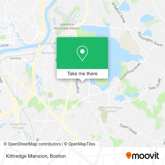
See Kittredge Mansion, Boston, on the map
Public Transit to Kittredge Mansion in Boston
Wondering how to get to Kittredge Mansion in Boston? Moovit helps you find the best way to get to Kittredge Mansion with step-by-step directions from the nearest public transit station.
Moovit provides free maps and live directions to help you navigate through your city. View schedules, routes, timetables, and find out how long does it take to get to Kittredge Mansion in real time.
Looking for the nearest stop or station to Kittredge Mansion? Check out this list of stops closest to your destination: Chickering Road & Main St; Lawrence.
Bus: 3.Train: HAVERHILL.
Want to see if there’s another route that gets you there at an earlier time? Moovit helps you find alternative routes or times. Get directions from and directions to Kittredge Mansion easily from the Moovit App or Website.
We make riding to Kittredge Mansion easy, which is why over 1.7 million users, including users in Boston, trust Moovit as the best app for public transit. You don’t need to download an individual bus app or train app, Moovit is your all-in-one transit app that helps you find the best bus time or train time available.
For information on prices of bus, costs and ride fares to Kittredge Mansion, please check the Moovit app.
Use the app to navigate to popular places including to the airport, hospital, stadium, grocery store, mall, coffee shop, school, college, and university.
Location: Boston
- 326 Osgood St,
- Dpw Salt Shed,
- Lauren Alana Artisan Jewelry,
- North Andover Barber Shop,
- Victoria Rose Beauty,
- Milos Jewelry,
- Little Learners Child Care Center,
- Elite Plumbing Service,
- North Andover,
- Prana Hot Yoga,
- The Sunbar Tanning Salon,
- Merrimack Valley Bookkeepers,
- Alepmed Dental Group,
- Fichera Michael E DDS,
- Apex Promotions,
- Bulger Veterinary Hospital (Haller, Julie E, DVM - Bulger Animal Hospital),
- North Andover Early Childhood Center,
- Gleason Jim,
- Diversified Funding,
- Greenhouse
Places Near Kittredge Mansion (Boston)
- Td Garden, Boston,
- Castle Island, Boston,
- Wilbur Theatre, Boston,
- Prudential Center, Boston,
- North End, Boston,
- Faneuil Hall, Boston,
- Massachusetts General Hospital, Boston,
- Seaport District, Boston,
- Boston Medical Center, Boston,
- House Of Blues, Boston,
- Boston Common, Boston,
- Boston Convention & Exhibition Center, Boston,
- Museum Of Science, Boston,
- Cheers, Boston,
- Boston Children's Hospital, Boston,
- Mgm Music Hall, Boston,
- Quincy Market, Boston,
- Isabella Stewart Gardner Museum, Boston,
- Wang Theater, Boston,
- Leader Bank Pavilion (Leader Bank Pavillion), Boston
How to get to popular places in Boston with public transit
Get around Boston by public transit!
Traveling around Boston has never been so easy. See step by step directions as you travel to any attraction, street or major public transit station. View bus and train schedules, arrival times, service alerts and detailed routes on a map, so you know exactly how to get to anywhere in Boston.
When traveling to any destination around Boston use Moovit's Live Directions with Get Off Notifications to know exactly where and how far to walk, how long to wait for your line, and how many stops are left. Moovit will alert you when it's time to get off — no need to constantly re-check whether yours is the next stop.
Wondering how to use public transit in Boston or how to pay for public transit in Boston? Moovit public transit app can help you navigate your way with public transit easily, and at minimum cost. It includes public transit fees, ticket prices, and costs. Looking for a map of Boston public transit lines? Moovit public transit app shows all public transit maps in Boston with all Bus, Train, Subway and Ferry routes and stops on an interactive map.
Boston has 4 transit type(s), including: Bus, Train, Subway and Ferry, operated by several transit agencies, including MBTA, Southeastern Regional Transit Authority, MetroWest Regional Transit Authority, Rhode Island Public Transit Authority, WRTA, Lowell Regional Transit Authority, Merrimack Valley Transit, Montachusett Regional Transit Authority, Cape Cod Regional Transit Authority, Brockton Area Transit Authority, Martha's Vineyard Transit Authority, the WAVE - Nantucket Regional Transit Authority, GATRA, Cape Ann Transportation Authority and Massport